Gustavus in Trumbull County, Ohio — The American Midwest (Great Lakes)
Gustavus Center Historic District
Photographed by Mike Wintermantel, August 10, 2018
1. Gustavus Center Historic District Marker
Side A
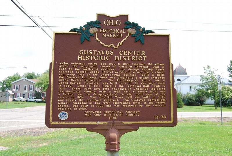
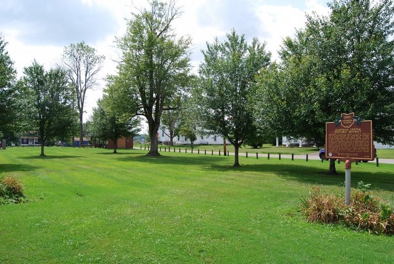
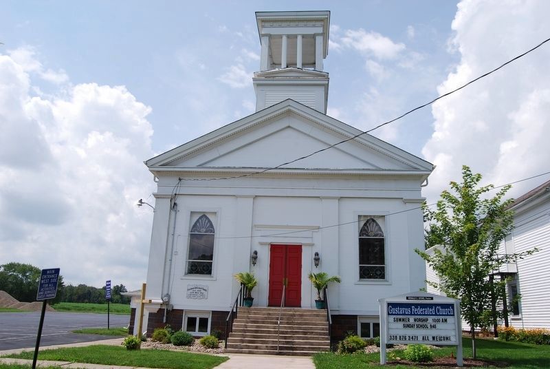
Major buildings dating from 1832 to 1898 surround the village green, the geographic center of Gustavus Township. Built in 1832 on the northwest quadrant, the George Hezlep House features Federal-Greek Revival architecture and has a closet reputedly used on the Underground Railroad. Built in 1840, the Farmers' Exchange Store was originally a double entrance Greek Revival structure. The Storekeeper's House, also a Greek Revival structure, was built next to the exchange store in 1840. South of this house is the Fraternal Hall, built in 1870. There were once four churches in Gustavus including the Methodist Church, built in 1856 with a temple front and a belfry, and the Congregational Church, built east of the center in 1854. The eclectic Town Hall was built in 1890 and fronts the southeast quadrant. The Gustavus Centralized School, reported as the first centralized school in the United States, was built in 1898 and was replaced by the current building in 1928.
Side B
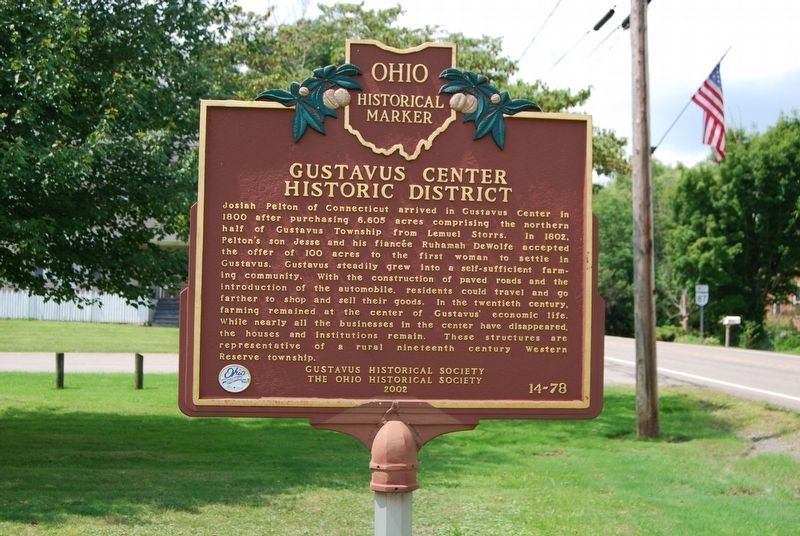
Josiah Pelton of Connecticut arrived in Gustavus Center in 1800 after purchasing 6,605 acres comprising the northern half of Gustavus Township from
this page online
Erected 2000 by Gustavus Historical Society and The Ohio Historical Society. (Marker Number 14-78.)
Topics and series. This historical marker is listed in this topic list: Notable Places. In addition, it is included in the Ohio Historical Society / The Ohio History Connection series list. A significant historical year for this entry is 1832.
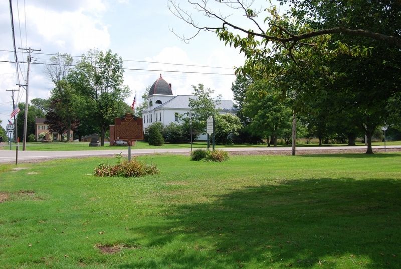
Location. 41° 27.73′ N, 80° 39.947′ W. Marker is in Gustavus, Ohio, in Trumbull County. It is at the intersection of Kinsman Road NE (Ohio Route 87) and Route 193, on
Photographed by Mike Wintermantel, August 10, 2018
2. Gustavus Center Historic District Marker
Side B

Regionally, this marker is in the Western Reserve and in the Mahoning Valley. It is also in the American Midwest. Globally, it is in North America, the Western Hemisphere, the Western World, and the Anglosphere. Historically, it finds itself in what was once the Haudenosaunee (Iroquois) Confederacy, the territory of the Mississippian Culture, and the Northwest Territory.
Other nearby markers. At least 8 other markers are within 5 miles of this marker, measured as the crow flies: Gustavus Township World War II Memorial (within shouting distance of this marker); Gustavus Township Veterans Memorial (within shouting distance of this marker); Gustavus Township & High School Alumni World War Memorial (within shouting distance of this marker); In memory of Ebenezer Reeve (approx. 4 miles away); Kinsman Presbyterian Church Veterans Memorial (approx. 4.1 miles away); Kinsman Cemetery Veterans Memorial (approx. 4.2 miles away); Kinsman Educational Memorial (approx.
Photographed by Mike Wintermantel, August 10, 2018
3. Gustavus Center Historic District Marker
Side A
Photographed by Mike Wintermantel, August 10, 2018
4. Gustavus Center Historic District Marker
Side B
Photographed by Mike Wintermantel, August 10, 2018
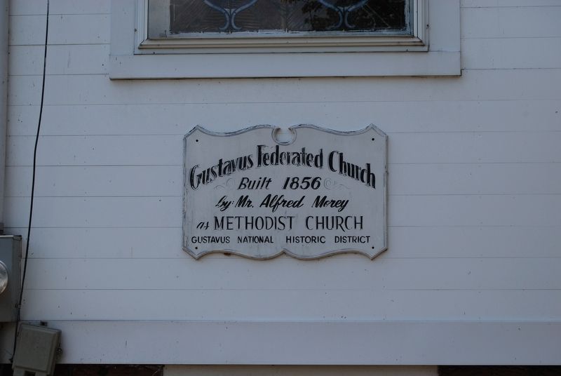
5. Gustavus Center Historic District
Gustavus Federated Church
Built 1856
by: Mr. Alfred Morey
as Methodist Church
Gustavus National Historic District
Built 1856
by: Mr. Alfred Morey
as Methodist Church
Gustavus National Historic District
Photographed by Mike Wintermantel, August 10, 2018
6. Gustavus Center Historic District
Gustavus Federated Church
Photographed by Craig Doda, July 1, 2022
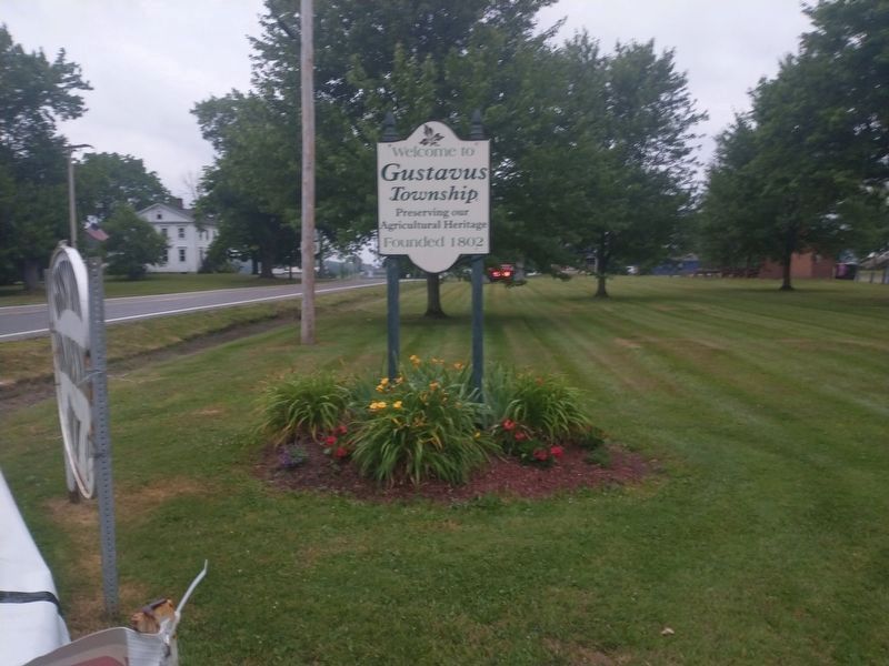
7. Additional nearby sign
Credits. This page was last revised on July 13, 2022. It was originally submitted on August 11, 2018, by Mike Wintermantel of Pittsburgh, Pennsylvania. This page has been viewed 1,727 times since then and 158 times this year. Photos: 1, 2, 3, 4, 5, 6. submitted on August 11, 2018, by Mike Wintermantel of Pittsburgh, Pennsylvania. 7. submitted on July 12, 2022, by Craig Doda of Napoleon, Ohio.
