Ashtabula in Ashtabula County, Ohio — The American Midwest (Great Lakes)
Ashtabula Harbor Commercial District
Photographed by Mike Wintermantel, August 10, 2018
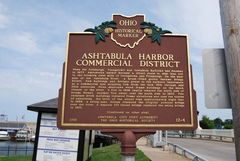
1. Ashtabula Harbor Commercial District Marker
Side A
When the Pittsburgh, Youngstown and Ashtabula Railroad was finished in 1873, Ashtabula's harbor became a direct route to ship iron ore to the booming steel mills of Youngstown and Pittsburgh. On the west side of the Ashtabula River, a brush-filled gulley became Bridge Street. New buildings and bridges attest to the harbor's importance as a commercial and shipping hub from the late 19th through mid 20th centuries. Fires destroyed wood-frame buildings on the block closest to the river. A fire in 1886 nearly cleared the north side of Bridge Street. Another fire swept over the south side in 1900. Fire resistant brick buildings replaced frame structures and over the course of rebuilding, the level of the street rose approximately eight feet. In 1889, a swing-span bridge replaced the original pontoon bridge over the river. A bascule lift (draw) bridge replaced the swing bridge in 1925.
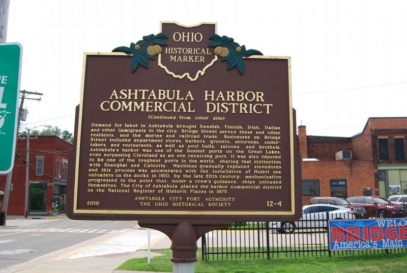
Demand for labor in Ashtabula brought Swedish, Finnish, Irish, Italian and other immigrants to the city. Bridge Street served these and other residents, and the marine and railroad trade. Businesses on Bridge Street included department
this page online
Erected 2010 by Ashtabula City Port Authority and The Ohio Historical Society. (Marker Number 12-4.)
Topics and series. This historical marker is listed in this topic list: Notable Places. In addition, it is included in the Ohio Historical Society / The Ohio History Connection series list. A significant historical year for this entry is 1873.
Location. 41° 54.016′ N, 80° 47.882′ W. Marker is in Ashtabula, Ohio, in Ashtabula
Photographed by Mike Wintermantel, August 10, 2018
2. Ashtabula Harbor Commercial District Marker
Side B

Regionally, this marker is on the Lake Erie Shore and in the Western Reserve. It is also in the American Midwest. Globally, it is in North America, on the Great Lakes, in the Western Hemisphere, in the Western World, and in the Anglosphere. Historically, it finds itself in what was once the Haudenosaunee (Iroquois) Confederacy, the territory of the Mississippian Culture, and the Northwest Territory.
Other nearby markers. At least 8 other markers are within walking distance of this marker: Restoration & Revitalization (a few steps from this marker); The Ashtabula River (a few steps from this marker); The Recovery (within shouting distance of this marker); A Successful River Restoration (within shouting distance of this marker); 1001 (within shouting distance of this marker); 1003 (within shouting distance of this marker); 1006 (within shouting distance of this marker); 1005 (within
Photographed by Mike Wintermantel, August 10, 2018
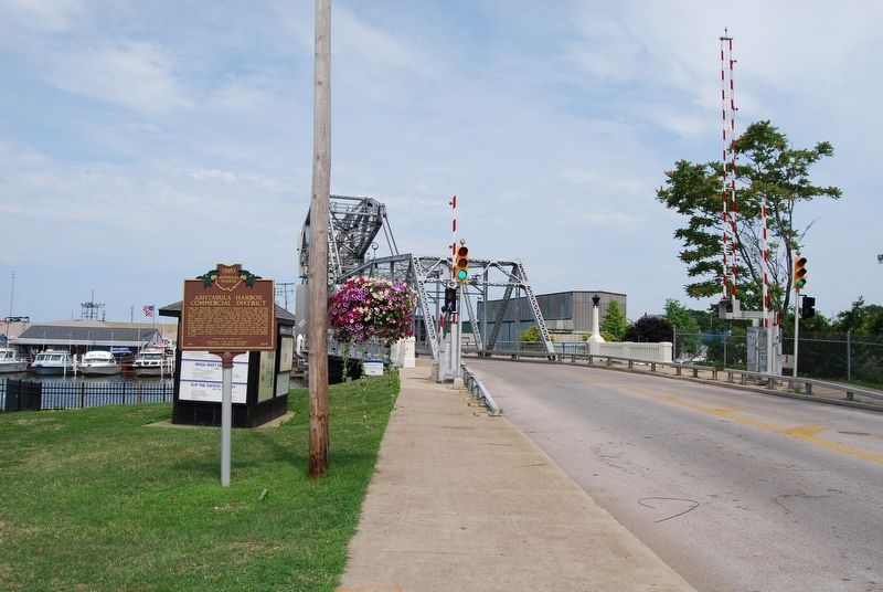
3. Ashtabula Harbor Commercial District Marker
Side A
Photographed by Mike Wintermantel, August 10, 2018
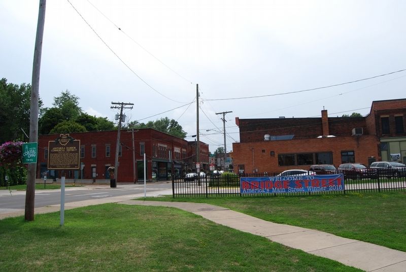
4. Ashtabula Harbor Commercial District Marker
Side B
Credits. This page was last revised on August 11, 2018. It was originally submitted on August 11, 2018, by Mike Wintermantel of Pittsburgh, Pennsylvania. This page has been viewed 1,160 times since then and 104 times this year. Photos: 1, 2, 3, 4. submitted on August 11, 2018, by Mike Wintermantel of Pittsburgh, Pennsylvania.
