Cestohowa in Karnes County, Texas — The American South (West South Central)
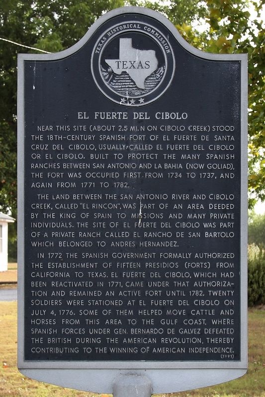
El Fuerte del Cibolo
The land between the San Antonio River and Cibolo Creek, called "El Rincon", was part of an area deeded by the King of Spain to missions and many private individuals. The site of El Fuerte del Cibolo was part of a private ranch called El Rancho de San Bartolo which belonged to Andres Hernandez.
In 1772 the Spanish government formally authorized the establishment of fifteen presidios (forts) from California to Texas. El Fuerte del Cibolo, which had been reactivated in 1771, came under that authorization and remained an active fort until 1782. Twenty soldiers were stationed at El Fuerte del Cibolo on July 4, 1776. Some of them helped move cattle and horses from this area to the Gulf Coast, where Spanish forces under Gen. Bernardo de Galvez defeated the British during the American Revolution, thereby contributing to the winning of American independence.
Erected 1991 by Texas Historical Commission. (Marker Number 1418.)
Topics. This historical marker is listed in these topic lists: Forts and Castles • Settlements & Settlers. A significant historical date for this entry is July 4, 1776.
Location. 29° 0.66′ N, 97° 56.048′ W. Marker is in Cestohowa, Texas, in Karnes County. Marker is at the intersection of Farm to Market Road 3191 and County Road 389, on the right when traveling west on Road 3191. Touch for map. Marker is at or near this postal address: 300 FM 3191, Falls City TX 78113, United States of America. Touch for directions.
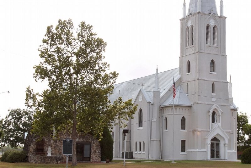
Other nearby markers. At least 8 other markers are within 5 miles of this marker, measured as the crow flies. Nativity of the Blessed Virgin Mary Catholic Church (within shouting distance of this marker); Nativity of the Blessed Virgin Mary Catholic Cemetery (approx. 0.3 miles away); John Gawlik House (approx. 4.2 miles away); First Store in Panna Maria (approx. 4.3 miles away); Pilarczyk Store (approx. 4.3 miles away); Panna Maria, Texas (approx. 4.3 miles away); Town of Panna Maria (approx. 4.3 miles away); Immaculate Conception Church (approx. 4.3 miles away). Touch for a list and map of all markers in Cestohowa.
Also see . . . Fuerte de Santa Cruz del Cíbolo - The Handbook of Texas Online. Texas State Historical Association (TSHA) (Submitted on April 9, 2019, by Brian Anderson of Humble, Texas.)
Credits. This page was last revised on April 9, 2019. It was originally submitted on August 12, 2018, by Larry D. Moore of Del Valle, Texas. This page has been viewed 427 times since then and 34 times this year. Photos: 1, 2. submitted on August 12, 2018, by Larry D. Moore of Del Valle, Texas. • Andrew Ruppenstein was the editor who published this page.

