
Karnes City in Karnes County, Texas — The American South (West South Central)
Karnes County

Photographed by Mansfieldphoto.com, June 22, 2025
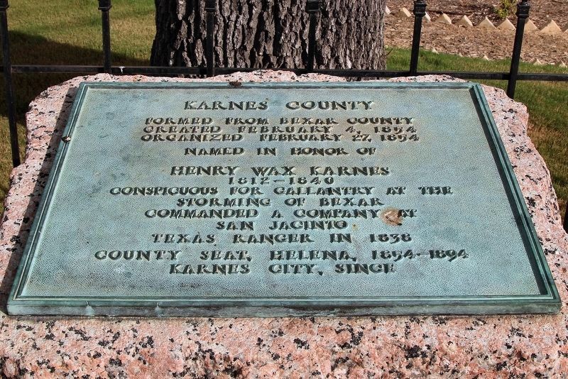
1. Karnes County Marker
Created February 4, 1854
Organized February 27, 1854
Named in honor of
Henry Wax Karnes
1812-1840
Conspicuous for gallantry at
storming of Bexar
Commanded a company at
San Jacinto
Texas Ranger in 1838
County seat, Helena, 1854-1894
Karnes City, since
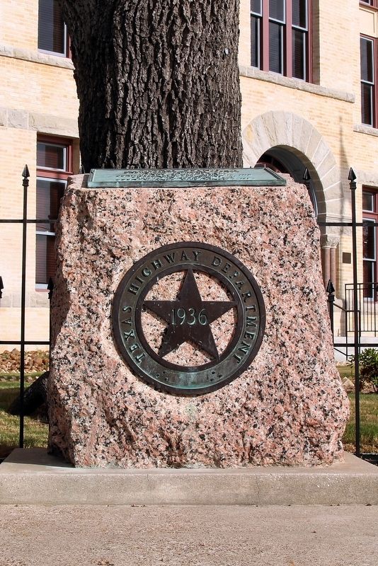
Erected 1936 by Texas Highway Department. (Marker Number 6073.)
Topics and series. This historical marker is listed in this topic list: Political Subdivisions. In addition, it is included in the Texas 1936 Centennial Markers and Monuments series list. A significant historical date for this entry is February 4, 1854.
Location. 28° 53.106′ N, 97° 54.076′ W. Marker is in Karnes City, Texas, in Karnes County. It is at the intersection of North Panna Maria Avenue (Business State Highway 123) and West Calvert Avenue (Business U.S. 181), on the right on North Panna Maria Avenue. Touch for map. Marker is at or near this postal address: 105 N Panna Maria Ave, Karnes City TX 78118, United States of America. Touch for directions.

Regionally, this marker is in South Texas. It is also in the American South. Globally, it is in North America, a Gulf
this page online
Other nearby markers. At least 8 other markers are within 5 miles of this marker, measured as the crow flies: 7.7 cm German Feldkanone 16 (built 1918) (a few steps from this marker); Karnes County Courthouse (a few steps from this marker); Karnes City (approx. 0.2 miles away); First Baptist Church of Karnes City (approx. ¼ mile away); First Presbyterian Church (approx. 0.3 miles away); Butler Family Cemetery (approx. 4.9 miles away); Czerner Kowalik House (approx. 4.9 miles away); St. Joseph's School (approx. 5 miles away). Touch for a list and map of all markers in Karnes City.
Also see . . . Karnes County - The Handbook of Texas Online. Texas State Historical Association (TSHA) (Submitted on April 9, 2019, by Brian Anderson of New Albany, Ohio.)
Photographed by Larry D. Moore, August 11, 2018
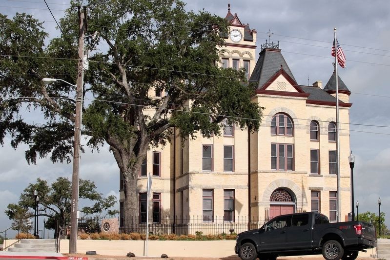
2. Karnes County Highway Marker
Photographed by Larry D. Moore, August 11, 2018
3. Karnes County Highway Marker Area
Photographed by Larry D. Moore, August 11, 2018
4. Karnes County Highway Marker
Credits. This page was last revised on August 5, 2025. It was originally submitted on August 13, 2018, by Larry D. Moore of Del Valle, Texas. This page has been viewed 392 times since then and 13 times this year. Photos: 1. submitted on August 5, 2025, by James Hulse of Medina, Texas. 2, 3, 4. submitted on August 13, 2018, by Larry D. Moore of Del Valle, Texas. • Bernard Fisher was the editor who published this page.
