Near Cochecton in Sullivan County, New York — The American Northeast (Mid-Atlantic)
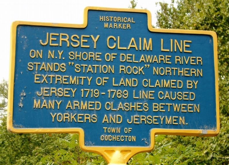
Jersey Claim Line
stands "Station Rock" northern
extremity of land claimed by
Jersey 1719-1769[.] Line caused
many armed clashes between
Yorkers and Jerseymen.
Erected by Town of Cochecton.
Topics. This historical marker is listed in these topic lists: Colonial Era • Government & Politics • Settlements & Settlers.
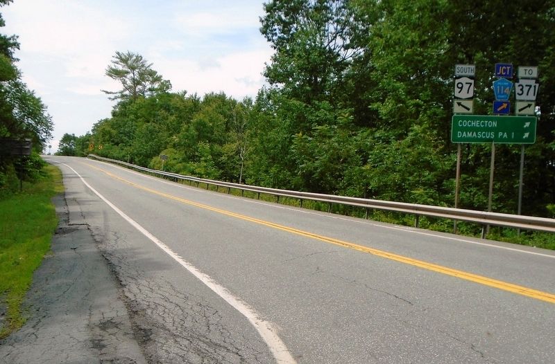
Location. 41° 42.666′ N, 75° 3.419′ W. Marker is near Cochecton, New York, in Sullivan County. Marker is on New York State Route 97, on the right when traveling west. Marker is along the short joint section of road shared by County Road 114, the Old Newburg Cochecton Turnpike. Touch for map. Marker is in this post office area: Cochecton NY 12726, United States of America. Touch for directions.
Other nearby markers. At least 8 other markers are within 4 miles of this marker, measured as the crow flies. Heirsville (about 600 feet away, measured in a direct line); The First Baptist Church of Damascus, PA (approx. 0.8 miles away in Pennsylvania); Veterans Memorial (approx. 1.3 miles away in Pennsylvania); Cushetunk (approx. 1.9 miles away in Pennsylvania); St. James Church and Rectory (approx. 3.7 miles away); Town of Delaware (approx. 3.8 miles away); Erie Train Station (approx. 3.8 miles away); Kautz Memorial Building (approx. 3.8 miles away).
Also see . . . Town of Cochecton History. (Submitted on August 14, 2018, by William Fischer, Jr. of Scranton, Pennsylvania.)
Credits. This page was last revised on August 14, 2018. It was originally submitted on August 14, 2018, by William Fischer, Jr. of Scranton, Pennsylvania. This page has been viewed 277 times since then and 45 times this year. Photos: 1, 2. submitted on August 14, 2018, by William Fischer, Jr. of Scranton, Pennsylvania.

