Washington Court House in Fayette County, Ohio — The American Midwest (Great Lakes)
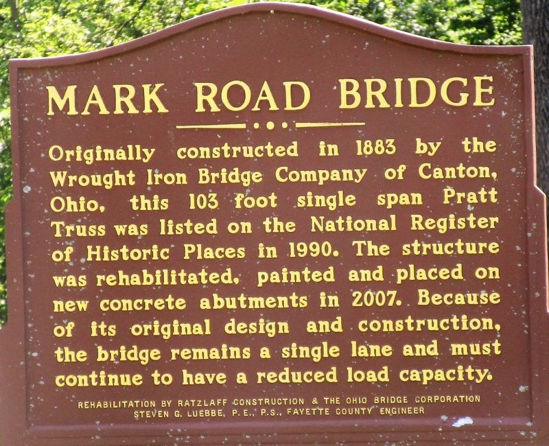
Mark Road Bridge
Photographed by Rev. Ronald Irick, August 14, 2018
1. Mark Road Bridge Marker
Erected 2007 by Ratzlaff Construction and the Ohio Bridge Corporation Steven G. Luebbe, P.E., P.S., Fayette County Engineer.
Topics. This historical marker is listed in this topic list: Bridges & Viaducts.
Location. 39° 29.216′ N, 83° 28.393′ W. Marker is in Washington Court House, Ohio, in Fayette County. It is on Mark Road (County Route 54), on the right when traveling east. Marker is at the crossing of Sugar Creek. Touch for map. Marker is at or near this postal address: 2031 Mark Rd 54, Washington Court House OH 43160, United States of America. Touch for directions.

Regionally, this marker is in Southern Ohio Hill Country. It is also in the American Midwest
this page online
Other nearby markers. At least 8 other markers are within 4 miles of this marker, measured as the crow flies: Fayette County Fairgrounds Veterans Memorial (approx. 3.1 miles away); Washington Court House (approx. 3.2 miles away); Veterans Memorial Bridge (approx. 3.6 miles away); World War Veterans Bridge (approx. 3.7 miles away); Old Washington Cemetery (approx. 3.7 miles away); a different marker also named Washington Court House (approx. 3.7 miles away); To Our Veterans (approx. 3.7 miles away); Fayette County War Memorial (approx. 3.8 miles away). Touch for a list and map of all markers in Washington Court House.
Photographed by Rev. Ronald Irick, August 14, 2018
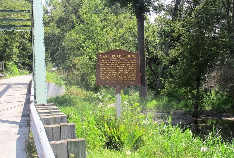
2. Mark Road Bridge Marker
full view of marker
Photographed by Rev. Ronald Irick, August 14, 2018
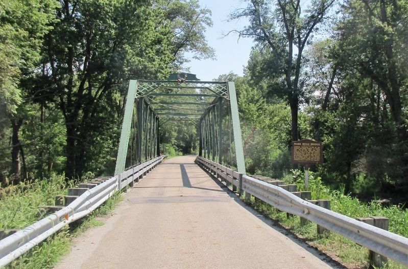
3. Mark Road Bridge Marker
looking east on Mark Road, about 1/4 mile east of US 62
Photographed by Rev. Ronald Irick, August 14, 2018
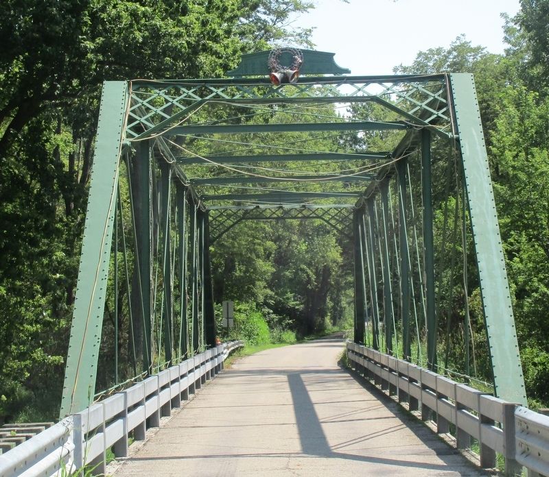
4. Mark Road Bridge Marker
the bridge
Photographed by Rev. Ronald Irick, August 14, 2018
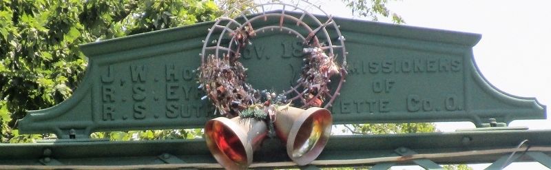
5. Mark Road Bridge Marker
the head board
Credits. This page was last revised on August 17, 2018. It was originally submitted on August 15, 2018, by Rev. Ronald Irick of West Liberty, Ohio. This page has been viewed 588 times since then and 54 times this year. Photos: 1, 2, 3, 4, 5. submitted on August 15, 2018, by Rev. Ronald Irick of West Liberty, Ohio. • Andrew Ruppenstein was the editor who published this page.
