Silver City in Grant County, New Mexico — The American Mountains (Southwest)
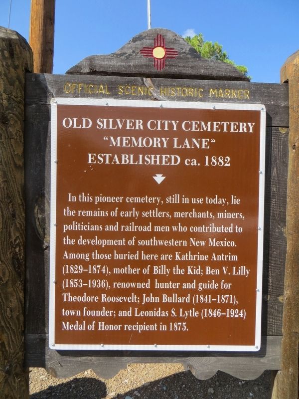
Old Silver City Cemetery
"Memory Lane"
| — | Established ca. 1882 | — |
Photographed by Bill Kirchner, August 11, 2018
1. Old Silver City Cemetery Marker
Erected by New Mexico Historic Preservation Division.
Topics and series. This historical marker is listed in this topic list: Cemeteries & Burial Sites. In addition, it is included in the Former U.S. Presidents: #26 Theodore Roosevelt series list. A significant historical year for this entry is 1875.
Location. 32° 47.049′ N, 108° 15.402′ W. Marker is in Silver City, New Mexico, in Grant County. It is on Memory Lane 0.2 miles south of Silver Heights Boulevard, on the right when traveling south. Touch for map. Marker is in this post office area: Silver City NM 88061, United States of America. Touch for directions.

Regionally, this marker is in Southwest New Mexico. It
this page online
Other nearby markers. At least 8 other markers are within 2 miles of this marker, measured as the crow flies: GFWC Silver City Women's Club (approx. 0.9 miles away); Silver City Water Works (approx. 1.3 miles away); Changing Values (approx. 1.4 miles away); Protecting our Watershed (approx. 1.4 miles away); Destroyed by Floods (approx. 1.4 miles away); An Oasis in the Desert (approx. 1.4 miles away); 1870's Log Cabin (approx. 1½ miles away); Anita Scott Coleman (approx. 1½ miles away). Touch for a list and map of all markers in Silver City.
Photographed by Bill Kirchner, August 11, 2018
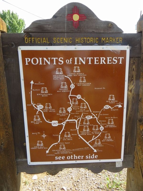
2. Old Silver City Cemetery Back of Marker
Points of Interest
New Mexico's Historic Markers typically have a map on the back side showing the location of other OSHM's. This is an excellent source of information when exploring for other Historical Markers and locations.
New Mexico's Historic Markers typically have a map on the back side showing the location of other OSHM's. This is an excellent source of information when exploring for other Historical Markers and locations.
Photographed by Bill Kirchner, August 11, 2018
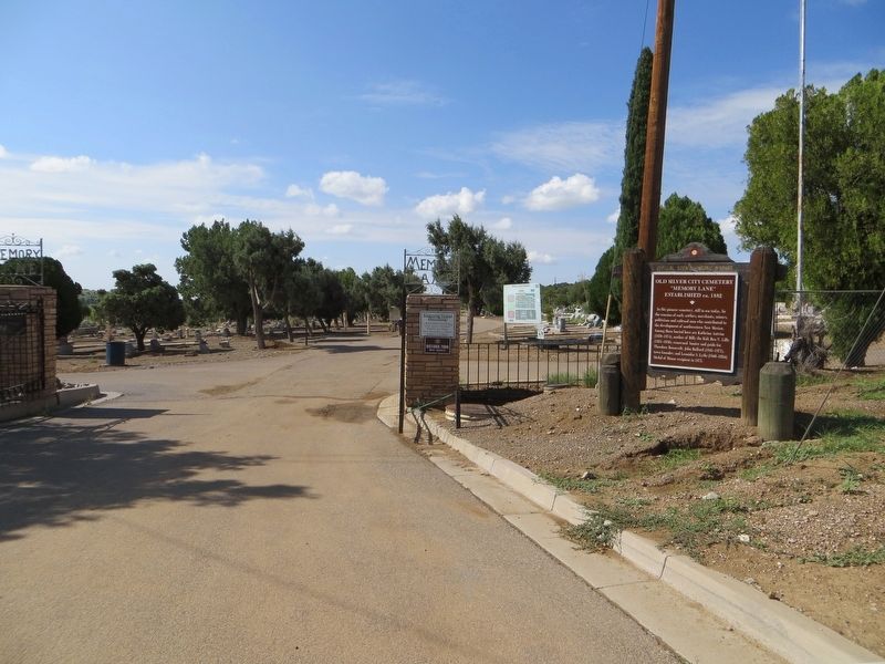
3. Old Silver City Cemetery Marker
Photographed by Bill Kirchner, August 11, 2018
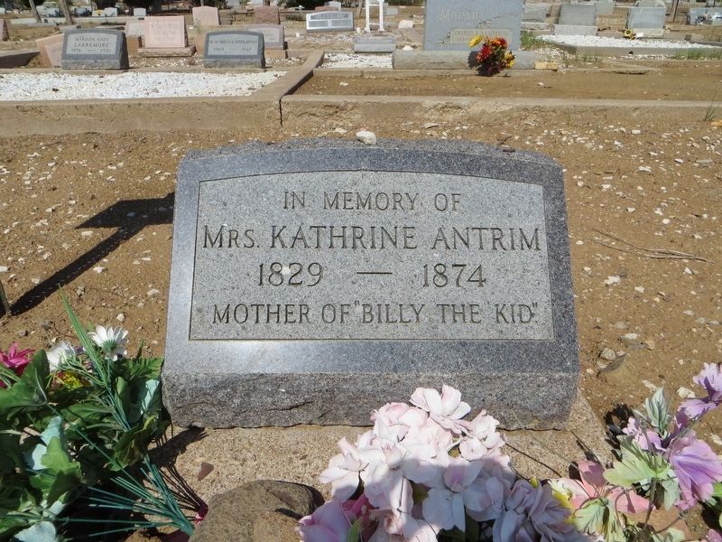
4. Kathrine Antrim grave site
Credits. This page was last revised on August 15, 2018. It was originally submitted on August 15, 2018, by Bill Kirchner of Tucson, Arizona. This page has been viewed 1,383 times since then and 117 times this year. Photos: 1, 2, 3, 4. submitted on August 15, 2018, by Bill Kirchner of Tucson, Arizona.
