Tuleta in Bee County, Texas — The American South (West South Central)
Tuleta
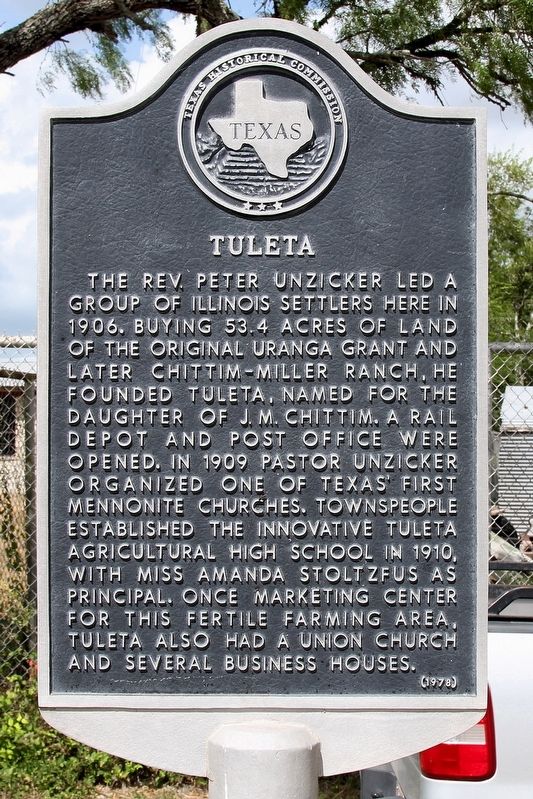
Photographed by Larry D. Moore, August 11, 2018
1. Tuleta Marker
Erected 1978 by Texas Historical Commission. (Marker Number 5496.)
Topics. This historical marker is listed in this topic list: Settlements & Settlers. A significant historical year for this entry is 1906.
Location. 28° 33.893′ N, 97° 47.851′ W. Marker is in Tuleta, Texas, in Bee County. It is on U.S. 181 0.2 miles south of Farm to Market Road 1465, on the right when traveling south. Touch for map. Marker is in this post office area: Tuleta TX 78162, United States of America. Touch for directions.

Regionally, this marker is in South Texas. It is also in the American South. Globally, it is in North America, a Gulf of Mexico state, the Western Hemisphere, the Western World, and the Anglosphere. Historically, it finds itself in what was once New Spain, the Republic of Texas, and one of the Confederate States of America.
Other nearby markers. At least 8 other markers are within 12 miles of this marker, measured as the crow flies: Veterans Memorial (approx. 0.4 miles away); Community of Normanna (approx. 3½ miles away); First Christian Church (approx. 3.8 miles away); Town of Pettus (approx. 5.3 miles away); Early Trails in Bee County (approx. 5.7 miles away); Reed-McCampbell-Wiess Ranch Complex (approx. 9.3 miles away); Medio Creek (approx.
this page online
Another marker is no longer nearby. Bee County (was approx. 3.7 miles away but has been confirmed missing).
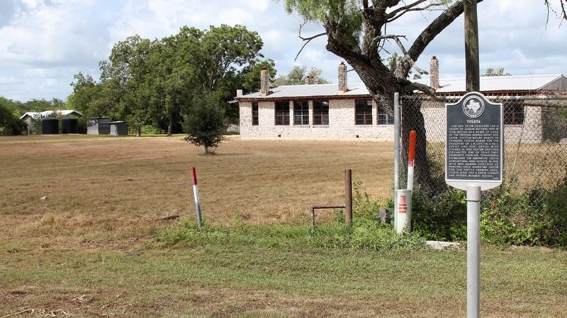
Photographed by Larry D. Moore, August 11, 2018
2. Tuleta Marker Area
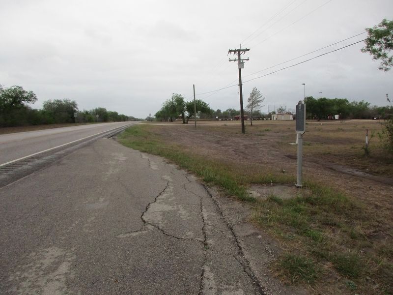
Photographed by Jeff Leichsenring, April 12, 2026
3. Tuleta Marker
Credits. This page was last revised on April 14, 2026. It was originally submitted on August 16, 2018, by Larry D. Moore of Del Valle, Texas. This page has been viewed 3,897 times since then and 270 times this year. Photos: 1, 2. submitted on August 16, 2018, by Larry D. Moore of Del Valle, Texas. 3. submitted on April 13, 2026, by Jeff Leichsenring of Garland, Texas. • Andrew Ruppenstein was the editor who published this page.
