Lebanon Junction in Bullitt County, Kentucky — The American South (East South Central)
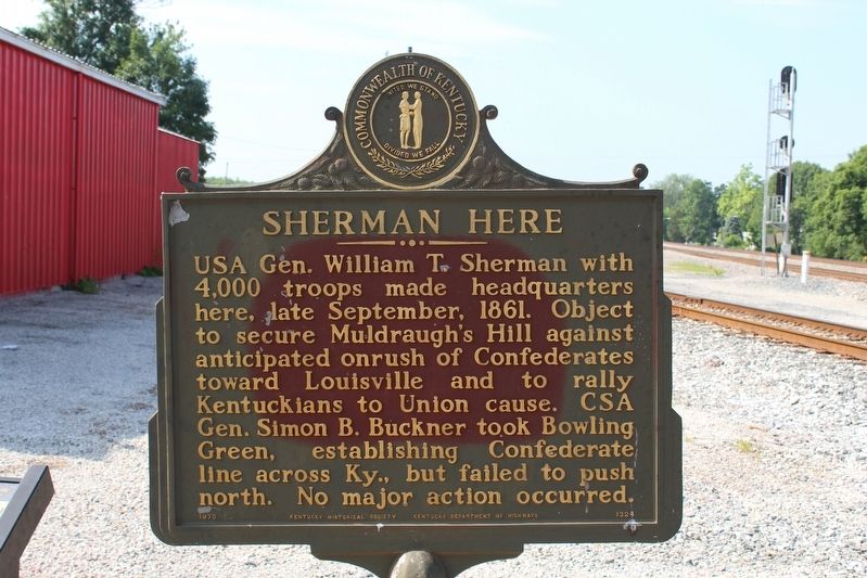
Sherman Here
Erected 1970 by Kentucky Historical Society & Kentucky Department of Highways. (Marker Number 1324.)
Topics. This historical marker is listed in this topic list: War, US Civil. A significant historical month for this entry is September 1861.
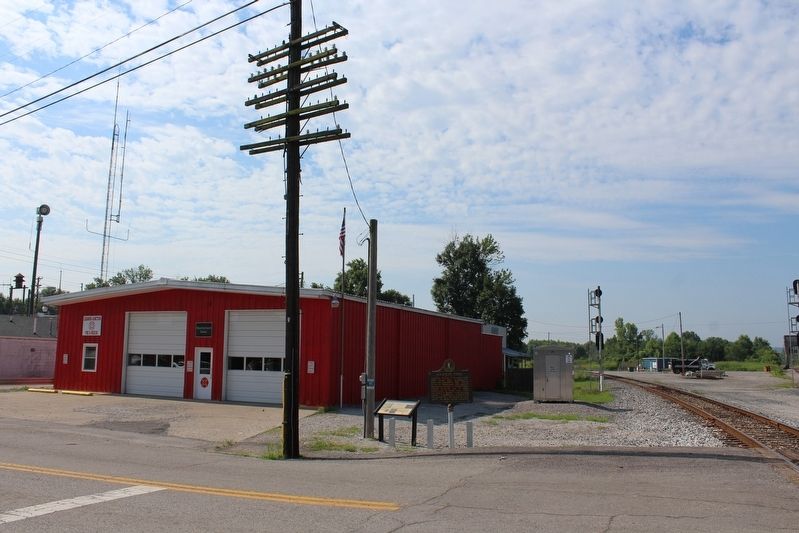
Location. 37° 50.064′ N, 85° 43.973′ W. Marker is in Lebanon Junction, Kentucky, in Bullitt County. Marker is on Main Street (Kentucky Route 434) west of South Poplar Street, on the left when traveling west. Marker located in front of the Lebanon Junction Fire Department. Touch for map. Marker is at or near this postal address: 291 Main Street, Lebanon Junction KY 40150, United States of America. Touch for directions.
Other nearby markers. At least 8 other markers are within 8 miles of this marker, measured as the crow flies. Lebanon Junction (here, next to this marker); Belmont Furnace / Iron Made in Kentucky (approx. 4.4 miles away); Morgan's Second Raid (approx. 4.6 miles away); Stockade at Belmont (approx. 4.7 miles away); Salt River Furnace / Iron Made in Kentucky (approx. 6.7 miles away); Skirmish at Rolling Fork (approx. 7.2 miles away); Action at Bardstown Junction (approx. 7˝ miles away); Booker Noe (approx. 7.9 miles away). Touch for a list and map of all markers in Lebanon Junction.
Credits. This page was last revised on August 18, 2018. It was originally submitted on August 18, 2018, by Tom Bosse of Jefferson City, Tennessee. This page has been viewed 264 times since then and 25 times this year. Photos: 1, 2, 3, 4. submitted on August 18, 2018, by Tom Bosse of Jefferson City, Tennessee. • Bernard Fisher was the editor who published this page.


