Near Bardstown in Nelson County, Kentucky — The American South (East South Central)
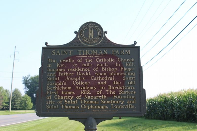
Saint Thomas Farm
Erected 1965 by Kentucky Historical Society & Kentucky Department of Highways. (Marker Number 857.)
Topics and series. This historical marker is listed in this topic list: Churches & Religion. In addition, it is included in the Kentucky Historical Society series list. A significant historical year for this entry is 1811.
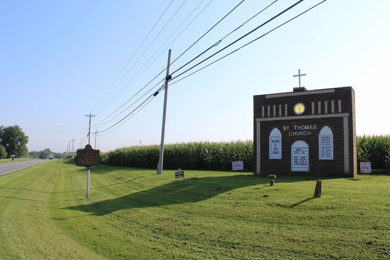
Location. 37° 46.159′ N, 85° 29.775′ W. Marker is near Bardstown, Kentucky, in Nelson County. Marker is at the intersection of New Haven Road (U.S. 31E) and St. Thomas Lane (County Route 2227), on the right when traveling north on New Haven Road. Touch for map. Marker is in this post office area: Bardstown KY 40004, United States of America. Touch for directions.
Other nearby markers. At least 8 other markers are within 4 miles of this marker, measured as the crow flies. Rowan-Chambers Duel (approx. 2.2 miles away); Edgewood (approx. 2.9 miles away); Steamboat Inventor (approx. 3.1 miles away); One Room School House (approx. 3.1 miles away); Bethlehem Academy (approx. 3.1 miles away); Saint Joseph Cathedral / Diocese of Bardstown (approx. 3.1 miles away); The Harrison-Smith House (approx. 3.2 miles away); Talbott Tavern (approx. 3.2 miles away). Touch for a list and map of all markers in Bardstown.
Credits. This page was last revised on November 4, 2020. It was originally submitted on August 18, 2018, by Tom Bosse of Jefferson City, Tennessee. This page has been viewed 420 times since then and 29 times this year. Photos: 1, 2. submitted on August 18, 2018, by Tom Bosse of Jefferson City, Tennessee. 3, 4. submitted on August 18, 2018. • Bill Pfingsten was the editor who published this page.


