Coloma in El Dorado County, California — The American West (Pacific Coastal)
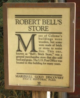
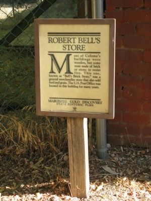
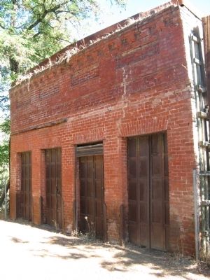
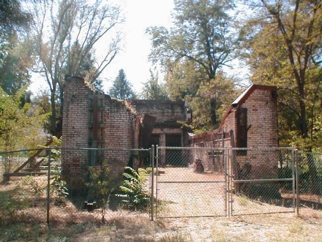
Robert Bell's Store
Erected by Marshall Gold Discovery State Historic Park.
Topics and series. This historical marker is listed in these topic lists: Agriculture • Communications • Industry & Commerce • Settlements & Settlers. In addition, it is included in the Postal Mail and Philately series list.
Location. This marker has been replaced by another marker nearby. It was located near 38° 47.974′ N, 120° 53.375′ W. Marker was in Coloma, California, in El Dorado County. Marker was on State Highway 49, on the left when traveling south. Marker and site are located within the boundaries of the Marshall Gold Discovery State Historic Park. Touch for map. Marker was in this post office area: Coloma CA 95613, United States of America. Touch for directions.
Other nearby markers. At least 8 other markers are within walking distance of this location. A different marker also named Robert Bell's Store (here, next to this marker); Coloma (here, next to this marker); Site of Virginia Saloon (a few steps from this marker); County Courthouse (a few steps from this marker); Kane House (within shouting distance of this marker); El Dorado Bath House and Shaving Saloon (within shouting distance of this marker); Papini House (within shouting distance of this marker); Odd Fellows Hall (within shouting distance of this marker). Touch for a list and map of all markers in Coloma.
More about this marker. The marker has been removed and replaced by a different marker.
Also see . . . A 1946 Photo of the Robert Bell's Store. (Submitted on October 7, 2008, by Syd Whittle of Mesa, Arizona.)
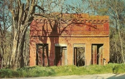
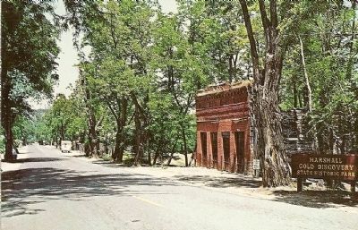
Merle Porter - Published by Royal Pictures - Colton,Ca
5. Bell's Store - Coloma, California
It was on Jan. 24, 1848, at a spot by the American River that the Indians called Culloomah, that James W. Marshall happen to notice flakes of gold, while turning off the water to Sutters Sawmill. This started the gold rush of 1849. By the act of Legislature of April 25th, 1951, Coloma was declared the county seat of El Dorado County only to have Hangtown, later Placerville, to take over the honor in 1857. In 1856 Coloma was swept by fire which destroyed most of the wooden buildings. One of the first buildings rebuilt after the fire was the brick store owned by Robert Bell. Banners, Signs and Merchandise were displayed under the shake-covered porch that covered the fancy brick sidewalk...M.P.
Credits. This page was last revised on February 1, 2023. It was originally submitted on October 7, 2008, by Syd Whittle of Mesa, Arizona. This page has been viewed 2,265 times since then and 20 times this year. Photos: 1, 2, 3, 4, 5. submitted on October 7, 2008, by Syd Whittle of Mesa, Arizona. 6. submitted on April 3, 2009, by Neil Roby of Placerville, California.
