West Point in Hardin County, Kentucky — The American South (East South Central)
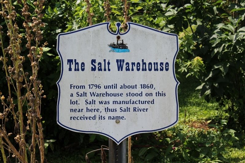
The Salt Warehouse
Topics and series. This historical marker is listed in these topic lists: Industry & Commerce • Waterways & Vessels. In addition, it is included in the Kentucky, City of West Point series list. A significant historical year for this entry is 1796.
Location. 38° 0.033′ N, 85° 56.747′ W. Marker is in West Point, Kentucky, in Hardin County. Marker is at the intersection of Elm Street and North 3rd Street, on the right when traveling east on Elm Street. Touch for map. Marker is in this post office area: West Point KY 40177, United States of America. Touch for directions.
Other nearby markers. At least 8 other markers are within walking distance of this marker. Pearman's Settlement (a few steps from this marker); Lewis and Clark in Kentucky / John Shields (1769-1809) (within shouting distance of this marker); K & I Bank Building (within shouting distance of this marker); Ditto-Lansdale House / Civil War Hospital (within shouting distance of this marker); Sears and Roebuck (within shouting distance of this marker); Sherman's Headquarters (within shouting distance of this marker); James Young House (about 300 feet away, measured in a direct line); Founding of West Point/ James Young (about 300 feet away). Touch for a list and map of all markers in West Point.
Credits. This page was last revised on February 26, 2020. It was originally submitted on August 19, 2018, by Tom Bosse of Jefferson City, Tennessee. This page has been viewed 275 times since then and 18 times this year. Photos: 1, 2. submitted on August 19, 2018, by Tom Bosse of Jefferson City, Tennessee. • Andrew Ruppenstein was the editor who published this page.

