Post Falls in Kootenai County, Idaho — The American West (Mountains)
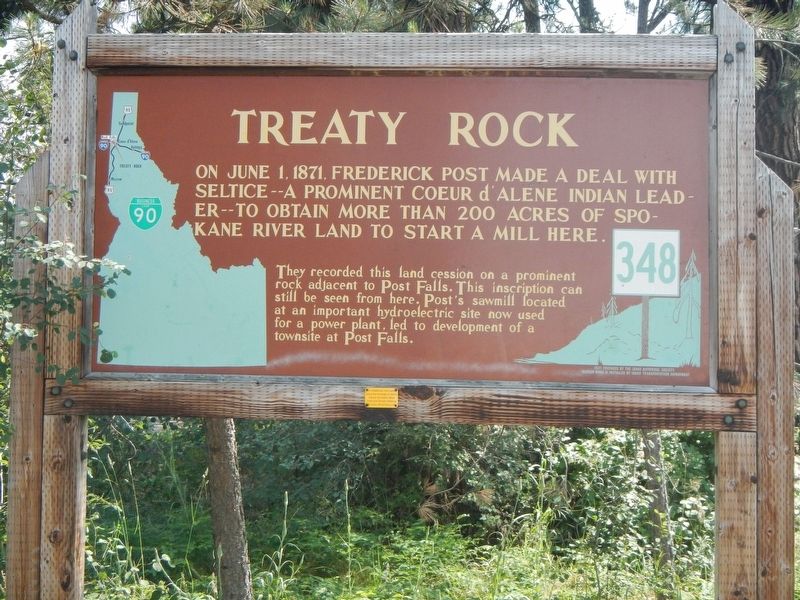
Treaty Rock
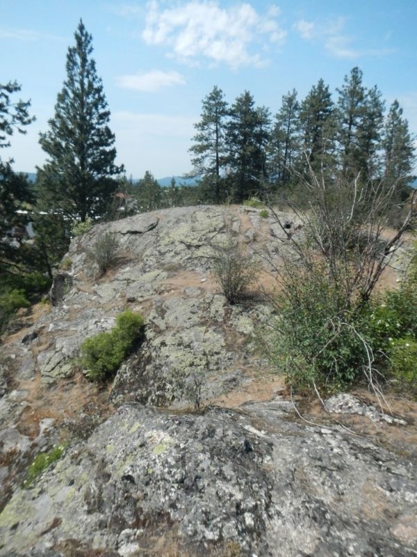
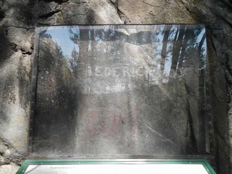
They recorded this cession of land on a prominent rock adjacent to Post Falls. This inscription can still be seen here. Post's sawmill located at an important hydroelectric site now used for a power plant, led to the development of a townsite at Post Falls.
Erected by Idaho Department of Transportation. (Marker Number 348.)
Topics and series. This historical marker is listed in these topic lists: Industry & Commerce • Landmarks • Native Americans. In addition, it is included in the Idaho State Historical Society series list. A significant historical date for this entry is June 1, 1871.
Location. 47° 42.864′ N, 116° 57.078′ W. Marker is in Post Falls, Idaho, in Kootenai County. Marker can be reached from North Compton Street near West Seltice Way, on the left when traveling south. Touch for map. Marker is at or near this postal address: 705 North Compton Street, Post Falls ID 83854, United States of America. Touch for directions.
Other nearby markers. At least 1 other marker is within 5 miles of this marker, measured as the crow flies. Purcell Trench (approx. 4.2 miles away).
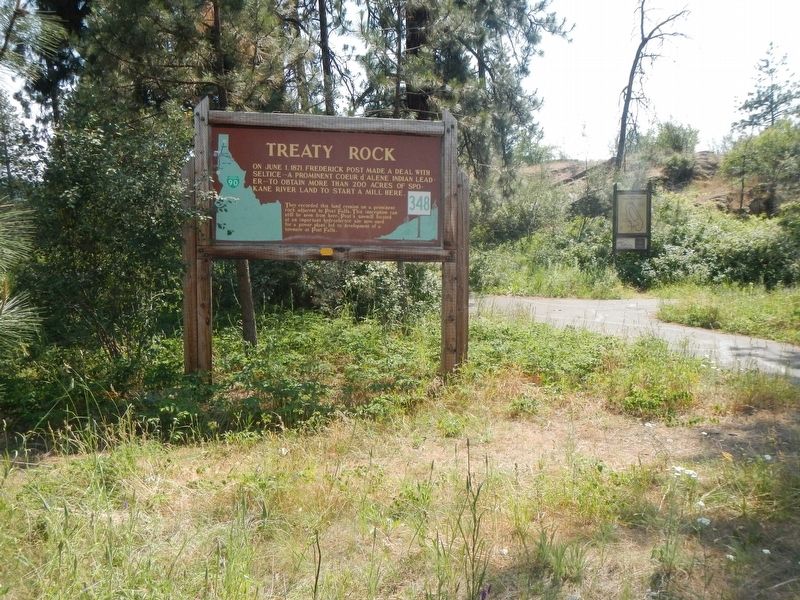
More about this marker. Treaty Rock Park, parking lot and marker are located on a small street; Treaty Rock Road (unsigned). The marker is located in the parking lot.
Credits. This page was last revised on August 19, 2018. It was originally submitted on August 19, 2018, by Barry Swackhamer of Brentwood, California. This page has been viewed 406 times since then and 67 times this year. Photos: 1, 2, 3, 4, 5. submitted on August 19, 2018, by Barry Swackhamer of Brentwood, California.


