
Near Bayview in Kootenai County, Idaho — The American West (Mountains)
Farragut Naval Training Station
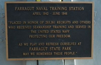
Photographed by Barry Swackhamer, May 8, 2018
1. Farragut Naval Training Station Marker
As we play and refresh ourselves at FARRAGUT STATE PARK may we remember these people."
Topics. This historical marker is listed in these topic lists: Education • War, World II.
Location. 47° 57.066′ N, 116° 36.168′ W. Marker is near Bayview, Idaho, in Kootenai County. It can be reached from Smylie Boulevard (State Highway 54 at milepost 12) near North Perimeter Road, on the right when traveling east. Touch for map. Marker is at or near this postal address: 13550 Idaho Highway 54, Bayview ID 83803, United States of America. Touch for directions.

Regionally, this marker is in North Idaho — Idaho’s Panhandle and in Greater Spokane. It is also in the American Mountain West and specifically in the Pacific Northwest. Globally, it is in North America, the Western Hemisphere, the Western World, and the Anglosphere.
Other nearby markers. At least 4 other markers are within 4 miles of this marker, measured as the crow flies: Farragut State Park (within shouting distance of this marker); Bayview Limekilns (approx. 2.2 miles away); Footprints of the Past (approx. 2.3 miles away); Pen d'Oreille City (approx. 3.9
this page online
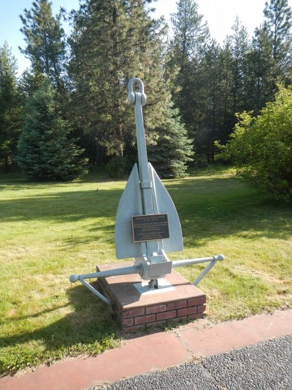
Photographed by Barry Swackhamer, May 8, 2018
2. Farragut Naval Training Station Marker
Credits. This page was last revised on August 20, 2018. It was originally submitted on August 20, 2018, by Barry Swackhamer of Brentwood, California. This page has been viewed 427 times since then and 30 times this year. Photos: 1, 2. submitted on August 20, 2018, by Barry Swackhamer of Brentwood, California.
