
Bayview in Kootenai County, Idaho — The American West (Mountains)
Bayview Limekilns
Photographed by Barry Swackhamer, May 8, 2018
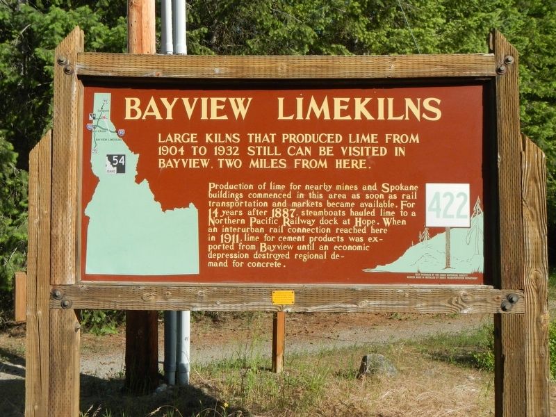
1. Bayview Limekilns Marker
Large kilns that produced line from 1904 to 1932 still can be seen by visiting Bayview, two miles from here.
Production of lime for nearby mines and Spokane buildings commenced in this area as soon as rail transportation and markets became available. For 14 years after 1887, steamboats hauled lime to a Northern Pacific Railway dock at Hope. When an interurban rail connection reached here in 1911, lime for cement products was exported from Bayview until an economic depression destroyed regional demand for concrete.
Erected by Idaho Department of Transportation. (Marker Number 422.)
Topics and series. This historical marker is listed in this topic list: Industry & Commerce. In addition, it is included in the Idaho State Historical Society series list. A significant historical year for this entry is 1904.
Location. 47° 58.361′ N, 116° 34.039′ W. Marker is in Bayview, Idaho, in Kootenai County. It is on Smylie Boulevard (State Highway 54 at milepost 15) near Locust Grove Road, on the left when traveling east. Touch for map. Marker is at or near this postal address: 33471 ID-54, Bayview ID 83803, United States of
this page online

Regionally, this marker is in North Idaho — Idaho’s Panhandle and in Greater Spokane. It is also in the American Mountain West and specifically in the Pacific Northwest. Globally, it is in North America, the Western Hemisphere, the Western World, and the Anglosphere.
Other nearby markers. At least 4 other markers are within 6 miles of this marker, measured as the crow flies: Footprints of the Past (approx. 0.8 miles away); Farragut Naval Training Station (approx. 2.2 miles away); Farragut State Park (approx. 2.2 miles away); Pen d'Oreille City (approx. 5.8 miles away).
Also see . . . Cooking Lime in Bayview, Idaho -- Spokane Historical. The 1930’s brought an end to the cement plants and lime kilns in the Bayview and Lakeview areas. A combination of a lack of market for agricultural lime, a change in the quality of the limestone from Lakeview, the lack of financial resources to improve plants and the onset of the Great Depression made the cost of lime production too expensive for the small companies. (Submitted on August 20, 2018, by Barry Swackhamer of Brentwood, California.)
Photographed by Barry Swackhamer, May 8, 2018
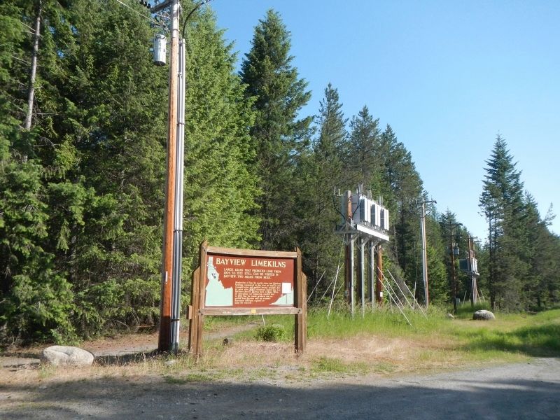
2. Bayview Limekilns Marker
Credits. This page was last revised on March 3, 2025. It was originally submitted on August 20, 2018, by Barry Swackhamer of Brentwood, California. This page has been viewed 1,598 times since then and 84 times this year. Photos: 1, 2. submitted on August 20, 2018, by Barry Swackhamer of Brentwood, California.
Editor’s want-list for this marker. Photos of Kilns at the Bayview Limekilns Historic Site, on Scenic Bay Rd, about 1.2 mi NNE of marker. • Can you help?
