Near Bonners Ferry in Boundary County, Idaho — The American West (Mountains)
Wild Horse Trail
Photographed by Barry Swackhamer, May 8, 2018
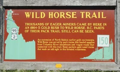
1. Wild Horse Trail Marker
An extension of North Idaho's earlier gold excitements, Wild Horse was served by a pack trains that hauled supplies from Columbia River steamboats and wagon roads that connected with this trail. Some packers used camel trails that made an odd sight in this forested wilderness.
Erected by Idaho Department of Transportation. (Marker Number 150.)
Topics and series. This historical marker is listed in this topic list: Roads & Vehicles. In addition, it is included in the Idaho State Historical Society series list.
Location. 48° 39.15′ N, 116° 20.712′ W. Marker is near Bonners Ferry, Idaho, in Boundary County. It is on U.S. 95 at milepost 504 near Deep Creek Loop (State Highway 2), on the left when traveling north. Touch for map. Marker is in this post office area: Bonners Ferry ID 83805, United States of America. Touch for directions.

Regionally, this marker is in North Idaho — Idaho’s Panhandle and on the Kootenai Reservation. It is
this page online
Other nearby markers. At least 8 other markers are within 4 miles of this marker, measured as the crow flies: David Thompson (a few steps from this marker); Glacial Lakes (a few steps from this marker); Electrifying Bonners Ferry (approx. 3½ miles away); Solving Power Problems (approx. 3½ miles away); Railroad Laborers (approx. 3½ miles away); Spokane International Railway (approx. 3½ miles away); Kootenai Valley Railway (approx. 3½ miles away); Railroad Services (approx. 3½ miles away). Touch for a list and map of all markers in Bonners Ferry.
Also see . . . Wild Horse Scenic Byway - Visit North Idaho. In 1808 the first white explorer David Thompson also utilized this trail. The “Wild Horse Trail” became more than a path in 1863, when gold was discovered in “Wild Horse Creek,” 120 miles to the north of Bonners Ferry in British Columbia. (Submitted on August 20, 2018, by Barry Swackhamer of Brentwood, California.)
Photographed by Barry Swackhamer, May 8, 2018
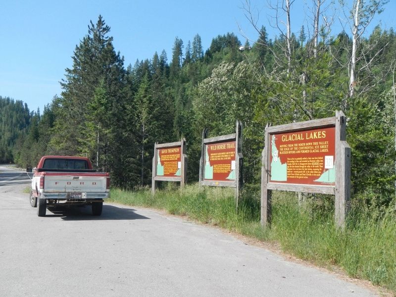
2. Wild Horse Trail Marker
The marker is at the center.
Credits. This page was last revised on August 20, 2018. It was originally submitted on August 20, 2018, by Barry Swackhamer of Brentwood, California. This page has been viewed 738 times since then and 38 times this year. Photos: 1, 2. submitted on August 20, 2018, by Barry Swackhamer of Brentwood, California.
