Near Collierstown in Rockbridge County, Virginia — The American South (Mid-Atlantic)
Oxford Church
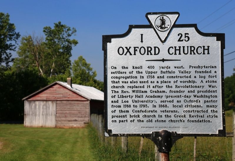
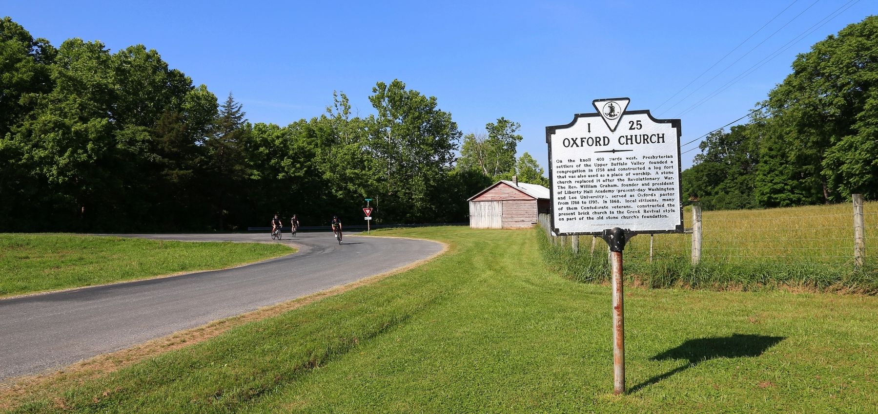
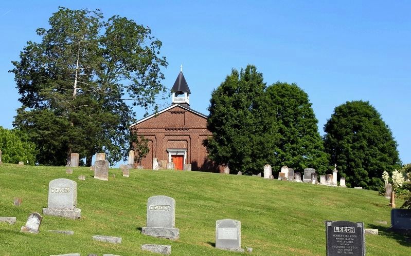
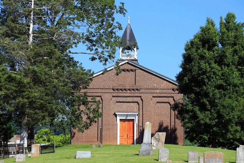
On the knoll 400 yards west, Presbyterian settlers of the Upper Buffalo Valley founded a congregation in 1758 and constructed a log fort that was also used as a place of worship. A stone church replaced it after the Revolutionary War. The Rev. William Graham, founder and president of Liberty Hall Academy (present day Washington and Lee University), served as Oxford’s pastor from 1788 to 1795. In 1868, local citizens, many of them Confederate veterans, constructed the present brick church in the Greek Revival style on part of the old stone church's foundation.
Erected 2007 by Department of Historic Resources. (Marker Number I-25.)
Topics and series. This historical marker is listed in this topic list: Churches & Religion. In addition, it is included in the American Presbyterian and Reformed Historic Sites, and the Virginia Department of Historic Resources (DHR) series lists. A significant historical year for this entry is 1758.
Location. 37° 45.051′ N, 79° 33.419′ W. Marker is near Collierstown, Virginia, in Rockbridge County. Marker is on Bluegrass Trail (County Route 612) near Oxford Lane (County Route 677), on the left when traveling west. Touch for map. Marker is in this post office area: Lexington VA 24450, United States of America. Touch for directions.
Other nearby markers. At least 8 other markers are within 7 miles of this marker, measured as the crow flies. Captain James Hall (approx. ¼ mile away); Thorn Hill Estate (approx. 5.1 miles away); Falling Spring Presbyterian Church (approx. 5.7 miles away); New Monmouth Church and Morrison’s Birthplace (approx. 6.1 miles away); New Monmouth Church (approx. 6.1 miles away); Jane Todd Crawford (approx. 6.1 miles away); William Henry Ruffner (approx. 6.1 miles away); Original African American Cemetery (approx. 6.4 miles away).
Regarding Oxford Church. Oxford Presbyterian Church is one of 445 American Presbyterian and Reformed Historical Sites registered between 1973 and 2003 by the Presbyterian Historical Society (PHS), headquartered in Philadelphia. Approved sites received a metal plaque featuring John Calvin’s seal and the site’s registry number (PHS marker location unknown).
The following text is taken from the Presbyterian Historical Society website:
Officially organized in 1768, tradition indicates that this Rockbridge County congregation dates to 1758. Worshiping first in a log building, the congregation constructed a stone church in 1811. There were two preaching points in the area in 1835, at Oxford and Collier's Creek, and for a short time Oxford was dropped. In 1843 the Oxford site was renewed as Old Oxford. The congregation erected the present brick
church in 1868, and added an educational building in 1961.
Credits. This page was last revised on March 21, 2022. It was originally submitted on July 5, 2017, by J. J. Prats of Powell, Ohio. This page has been viewed 557 times since then and 62 times this year. Last updated on August 20, 2018, by Douglass Halvorsen of Klamath Falls, Oregon. Photos: 1, 2, 3, 4, 5, 6. submitted on July 5, 2017, by J. J. Prats of Powell, Ohio. • Bill Pfingsten was the editor who published this page.
