Bonners Ferry in Boundary County, Idaho — The American West (Mountains)
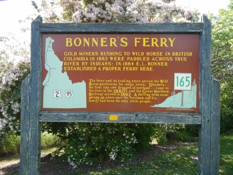
Bonner's Ferry
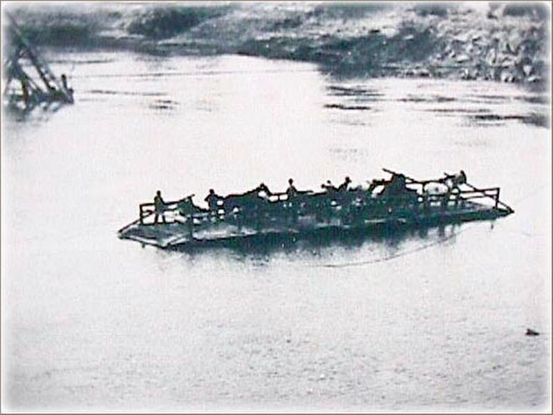
This ferry and its trading store served the Wild Horse packtrains for many years. Streamers -- the first tiny one dragged in overland -- came to the river in the 1880's, and the Great Northern Railway arrived in 1892. A thriving town soon sprang up where once the ferryman and his family had been the only white people.
Erected by Idaho Department of Transportation. (Marker Number 165.)
Topics and series. This historical marker is listed in these topic lists: Settlements & Settlers • Waterways & Vessels. In addition, it is included in the Idaho State Historical Society series list.
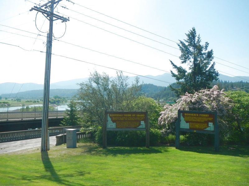
Location. 48° 42.078′ N, 116° 18.888′ W. Marker is in Bonners Ferry, Idaho, in Boundary County. Marker is at the intersection of Chinook Street and U.S. 95, on the right when traveling east on Chinook Street. Touch for map. Marker is at or near this postal address: 6495 Chinook Street, Bonners Ferry ID 83805, United States of America. Touch for directions.
Other nearby markers. At least 8 other markers are within walking distance of this marker. Kootenai Tribe of Idaho (a few steps from this marker); Crossing the Kootenai (approx. ¼ mile away); Pelton Wheel (approx. ¼ mile away); Solving Power Problems (approx. ¼ mile away); Electrifying Bonners Ferry (approx. ¼ mile away); Logging Railroads (approx. 0.3 miles away); Railroad Services (approx. 0.3 miles away); Semaphores (approx. 0.3 miles away). Touch for a list and map of all markers in Bonners Ferry.
Also see . . . Bonners Ferry History - Sandpoint.com. Scroll down.
With mines to the north, the community of Bonners Ferry began to flourish in the 1800’s as a supplier. “Midge”, the Norwegian-built steamer, launched in 1883 and operated for the next 25 years carrying passengers and freight between the areas of Bonners Ferry and British Columbia. (Submitted on August 20, 2018, by Barry Swackhamer of Brentwood, California.)
Credits. This page was last revised on August 21, 2018. It was originally submitted on August 20, 2018, by Barry Swackhamer of Brentwood, California. This page has been viewed 293 times since then and 32 times this year. Photos: 1, 2, 3. submitted on August 20, 2018, by Barry Swackhamer of Brentwood, California.


