Fairmount Heights in Prince George's County, Maryland — The American Northeast (Mid-Atlantic)
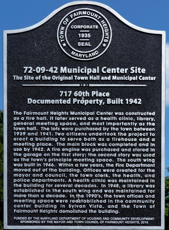
Municipal Center Site
The Site of the Original Town Hall and Municipal Center
| — | 717 60th Place Documented Property, Built 1942 | — |
Photographed by Allen C. Browne, July 4, 2018
1. Municipal Center Site Marker
Erected by Town of Fairmount Heights, Maryland. (Marker Number 72-09-42.)
Topics. This historical marker
this page online
Location. 38° 53.95′ N, 76° 54.804′ W. Marker is in Fairmount Heights, Maryland, in Prince George's County. It is on 60th Place, on the right when traveling north. Touch for map. Marker is in this post office area: Capitol Heights MD 20743, United States of America. Touch for directions.

Regionally, this marker is in the Washington Metropolitan Area. It is also in the American South, specifically in the Upper South, in the Mid-Atlantic, and on the Eastern Seaboard. Globally, it is in the North Atlantic Region, North America, the Western Hemisphere, the Western World, and the Anglosphere. Historically, it finds itself in what was once one of the original Thirteen Colonies and also the Antebellum South.
Other nearby markers. At least 8 other markers are within walking distance of this marker: Save Haven in the Face of Segregation (a few steps from this marker); Original Town Hall and Municipal Center (a few steps from this marker); Charity Hall (about 400 feet away, measured in a direct line); Fairmount Heights Elementary School
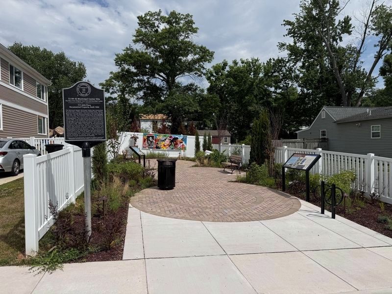
Another marker is no longer nearby. The Original Municipal Center (was a few steps from this marker but has been replaced with another marker now near it).
Photographed by Allen C. Browne, July 4, 2018
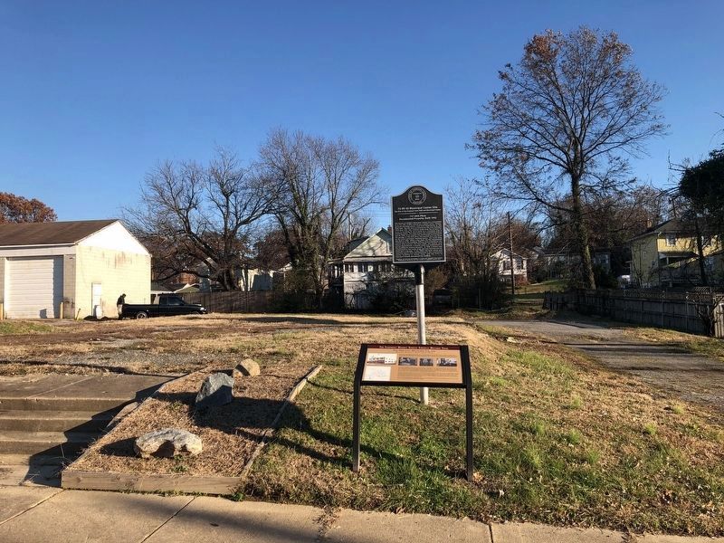
4. Municipal Center Site
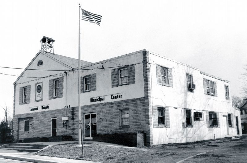
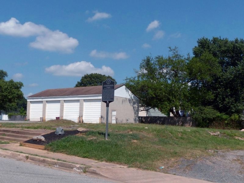
5. Fairmount Heights Municipal Center
In the 1980's
In the 1980's
From the Historic Fairmount Heights Brochure.
Credits. This page was last revised on June 14, 2026. It was originally submitted on August 21, 2018, by Allen C. Browne of Silver Spring, Maryland. This page has been viewed 462 times since then and 40 times this year. Photos: 1. submitted on August 21, 2018, by Allen C. Browne of Silver Spring, Maryland. 2. submitted on June 14, 2026, by Devry Becker Jones of Washington, District of Columbia. 3. submitted on November 29, 2019, by Devry Becker Jones of Washington, District of Columbia. 4, 5. submitted on August 21, 2018, by Allen C. Browne of Silver Spring, Maryland. • Andrew Ruppenstein was the editor who published this page.
