McHenry in Stone County, Mississippi — The American South (East South Central)
McHenry
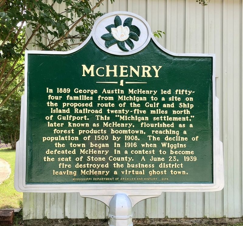
Photographed by Mark Hilton, August 23, 2018
1. McHenry Marker
Erected 2016 by Mississippi Department of Archives and History.
Topics and series. This historical marker is listed in these topic lists: Railroads & Streetcars • Settlements & Settlers. In addition, it is included in the Mississippi State Historical Marker Program series list. A significant historical date for this entry is June 23, 1939.
Location. 30° 42.492′ N, 89° 8.491′ W. Marker is in McHenry, Mississippi, in Stone County. It is on McHenry School Drive 0.1 miles south of West McHenry Road, on the right when traveling south. Located in front of the McHenry Public Library. Touch for map. Marker is at or near this
this page online

Regionally, this marker is in the Pine Belt. It is also in the American South, specifically in the Deep South, and in the Piney Woods. Globally, it is in North America, a Gulf of Mexico state, the Western Hemisphere, the Western World, and the Anglosphere. Historically, it finds itself in what was once New Spain, the territory of the Mississippian Culture, one of the Confederate States of America, and the Antebellum South.
Other nearby markers. At least 8 other markers are within 11 miles of this marker, measured as the crow flies: George Austin McHenry House (approx. 0.2 miles away); The Wire Road (approx. 3.7 miles away); John Perkins (approx. 5.4 miles away); The Stapp Sisters (approx. 9.2 miles away); Professor W.P. Locker (approx. 9.9 miles away); Stone County Courthouse (approx. 10.3 miles away); Stone County War Memorial (approx. 10.3 miles away); Gulf & Ship Island Railroad (approx. 10.4 miles away). Touch for a list and map of all markers in McHenry.
Another marker is no longer nearby. Lt. Col. John Bond
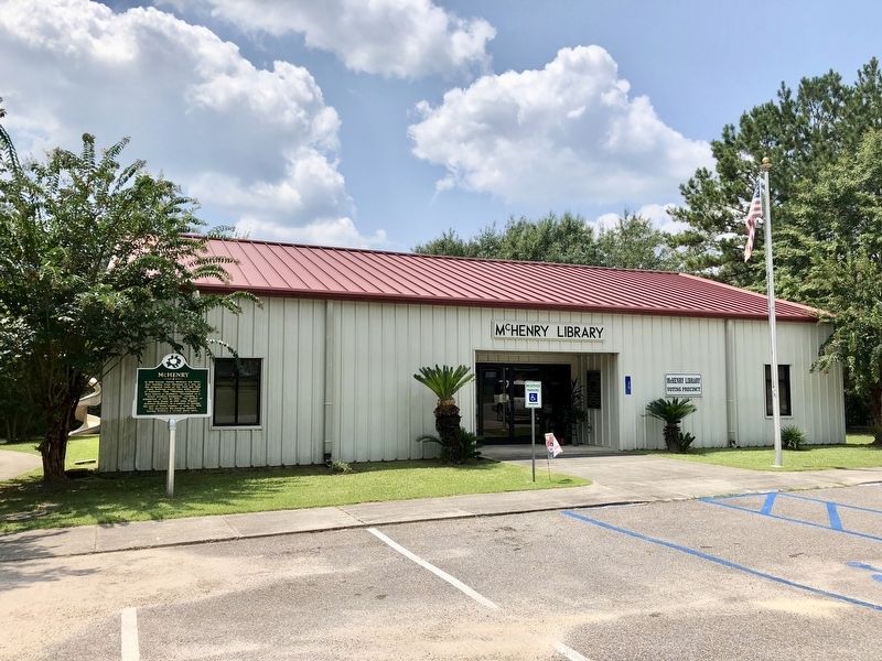
Photographed by Mark Hilton, August 23, 2018
2. McHenry Marker at the McHenry Public Library.
Also see . . . Wikipedia article on McHenry, Mississippi. (Submitted on August 24, 2018, by Mark Hilton of Montgomery, Alabama.)
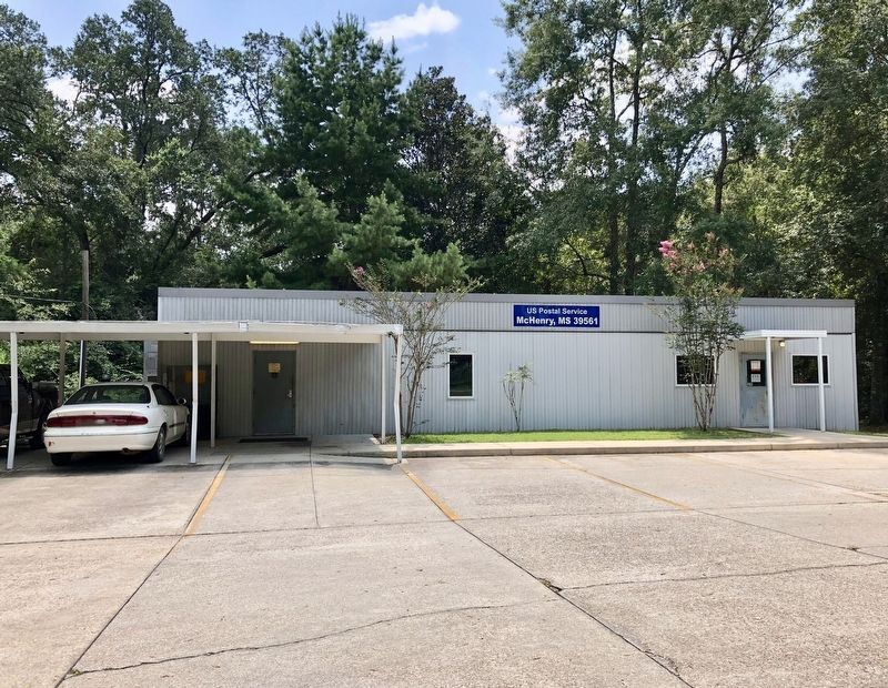
Photographed by Mark Hilton, August 23, 2018
3. The McHenry post office.
Credits. This page was last revised on August 24, 2018. It was originally submitted on August 24, 2018, by Mark Hilton of Montgomery, Alabama. This page has been viewed 800 times since then and 70 times this year. Photos: 1, 2, 3. submitted on August 24, 2018, by Mark Hilton of Montgomery, Alabama.
