Orange Beach in Baldwin County, Alabama — The American South (East South Central)
Orange Beach Municipal Complex
Photographed by Mark Hilton, August 22, 2018
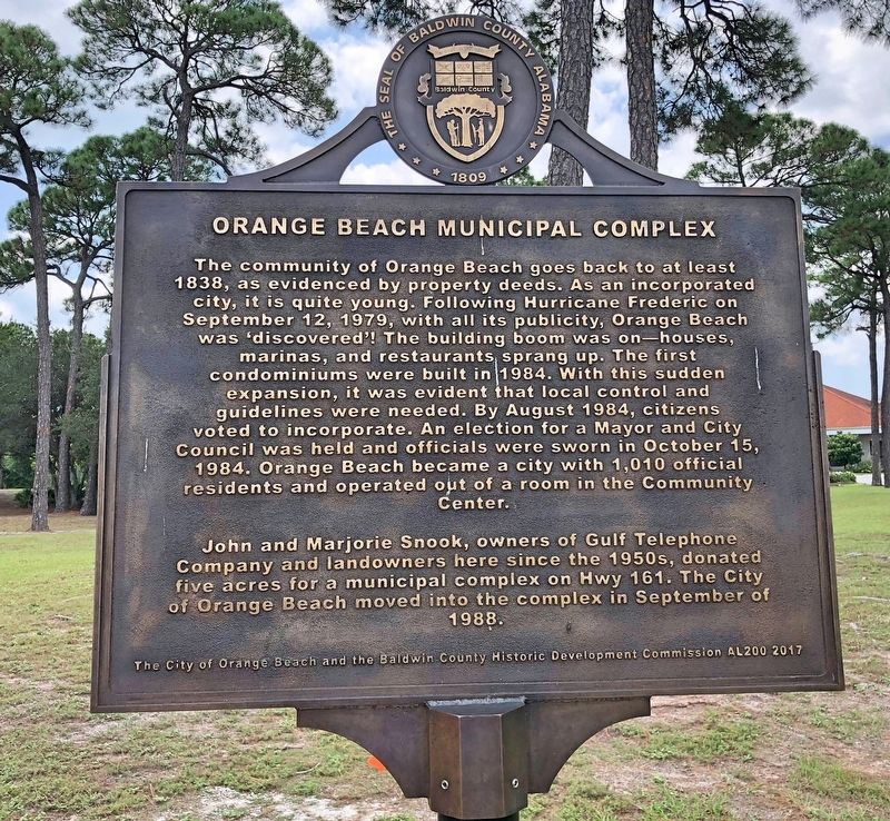
1. Orange Beach Municipal Complex Marker
John and Marjorie Snook, owners of Gulf Telephone Company and landowners here since the 1950s, donated five acres for a municipal complex on Hwy 161. The City of Orange Beach moved into the complex in September of 1988.
Reverse
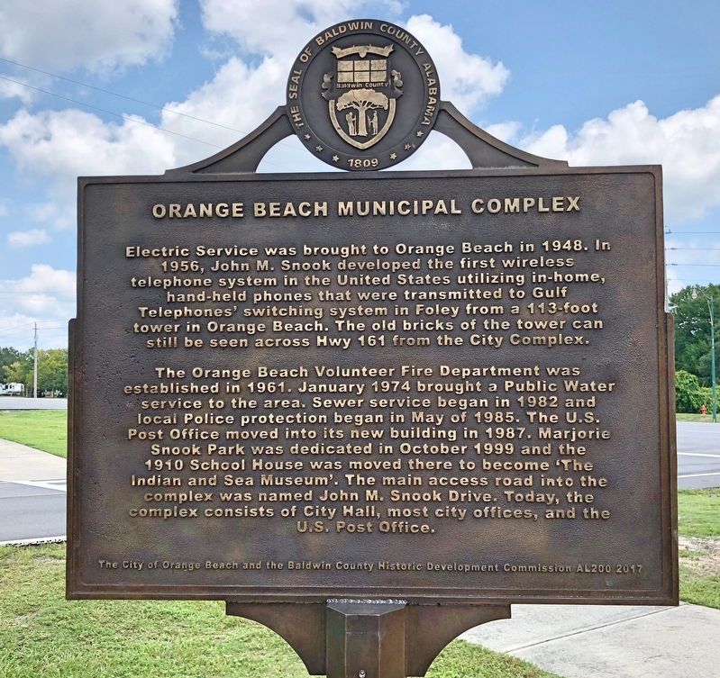
Electric Service was brought to Orange Beach in 1948. In 1956, John M. Snook developed the first wireless telephone system in the United States utilizing in-home
this page online
The Orange Beach Volunteer Fire Department was established in 1961. January 1974 brought a Public Water service to the area. Sewer service began in 1982 and local Police protection began in May of 1985. The U.S. Post Office moved into its new building in 1987. Marjorie Snook Park was dedicated in October 1999 and the 1910 School House was moved there to become The Indian and Sea Museum. The main access road into the complex was named John M. Snook Drive. Today, the complex consists of City Hall, most city offices, and the U.S. Post office.
Erected 2017 by the City of Orange Beach and the Baldwin County Historic Development Commission AL200.
Topics. This historical marker is listed in these topic lists: Industry & Commerce • Political Subdivisions • Settlements & Settlers. A significant historical date for this entry is January 19, 1974.
Location. 30° 17.049′ N, 87° 34.882′ W. Marker is in Orange
Photographed by Mark Hilton, August 22, 2018
2. Orange Beach Municipal Complex Marker (reverse)

Regionally, this marker is on Alabama’s Gulf Coast and in the Mobile Bay area. It is also in the American South, specifically in the Deep South, and on the Gulf Coast. Globally, it is in North America, a Gulf of Mexico state, the Western Hemisphere, the Western World, and the Anglosphere. Historically, it finds itself in what was once New Spain, the Viceroyalty of New France, the territory of the Mississippian Culture, one of the Confederate States of America, and the Antebellum South.
Other nearby markers. At least 8 other markers are within 4 miles of this marker, measured as the crow flies: Hugh S. Branyon Backcountry Trail System (approx. ¼ mile away); Orange Beach, Alabama (approx. 0.7 miles away); Bay Circle (approx. ¾ mile away); Perdido Pass (approx. 1.6 miles
Photographed by Mark Hilton, August 22, 2018
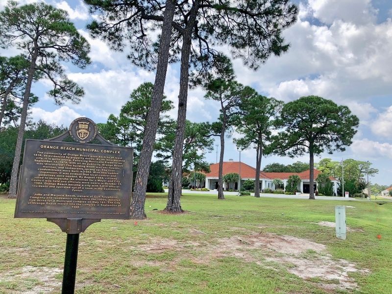
3. View from marker of the Orange Beach City Hall.
Photographed by Mark Hilton, August 22, 2018
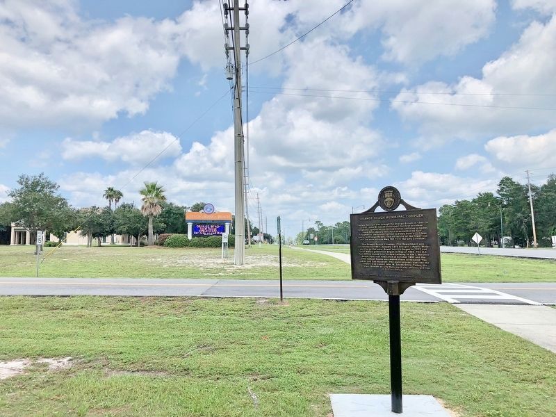
4. Orange Beach Municipal Complex sign.
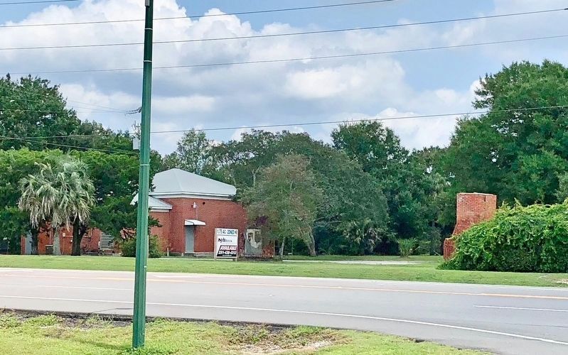
Photographed by Mark Hilton, August 22, 2018
5. View across road to remnants of brick tower mentioned on marker.
Second portion can be seen just to right of real estate sign.
Credits. This page was last revised on August 26, 2018. It was originally submitted on August 26, 2018, by Mark Hilton of Montgomery, Alabama. This page has been viewed 1,171 times since then and 128 times this year. Photos: 1, 2, 3, 4, 5. submitted on August 26, 2018, by Mark Hilton of Montgomery, Alabama.
