Long Beach in Harrison County, Mississippi — The American South (East South Central)
Administration Building
Photographed by Mark Hilton, August 23, 2018
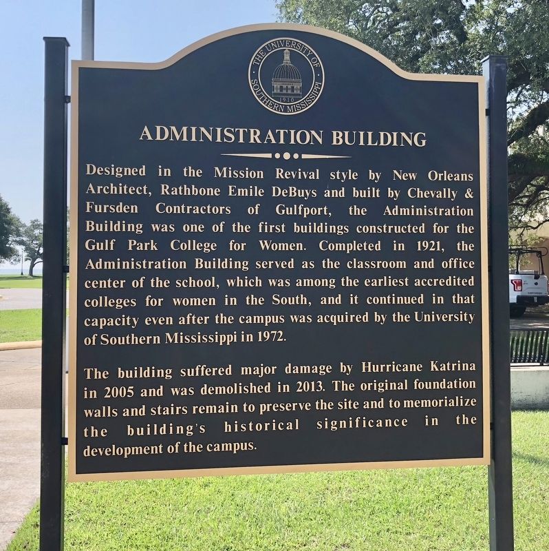
1. Administration Building Marker
The building suffered major damage by Hurricane Katrina in 2005 and was demolished in 2013. The original foundation walls and stairs remain to preserve the site and to memorialize the building's historical significance in the development of the campus.
Erected by the University of Southern Mississippi.
Topics. This historical marker is listed in these topic lists: Architecture • Disasters • Education • Notable Buildings. A significant historical year for this entry is 1921.
Location. 30° 21.133′ N, 89° 8.181′ W. Marker is in Long Beach,
this page online

Regionally, this marker is in the American South, specifically in the Deep South, and on the Gulf Coast. Globally, it is in North America, a Gulf of Mexico state, the Western Hemisphere, the Western World, and the Anglosphere. Historically, it finds itself in what was once New Spain, the Viceroyalty of New France, the territory of the Mississippian Culture, one of the Confederate States of America, and the Antebellum South.
Other nearby markers. At least 8 other markers are within walking distance of this marker: "Friendship Oak" (within shouting distance of this marker); a different marker also named Friendship Oak (about 300 feet away, measured in a direct line); Gulf Park College (about 300 feet away); Bear Point Bayou (about 400 feet away); St. Thomas the Apostle Catholic Church (approx.
Photographed by Mark Hilton, August 23, 2018
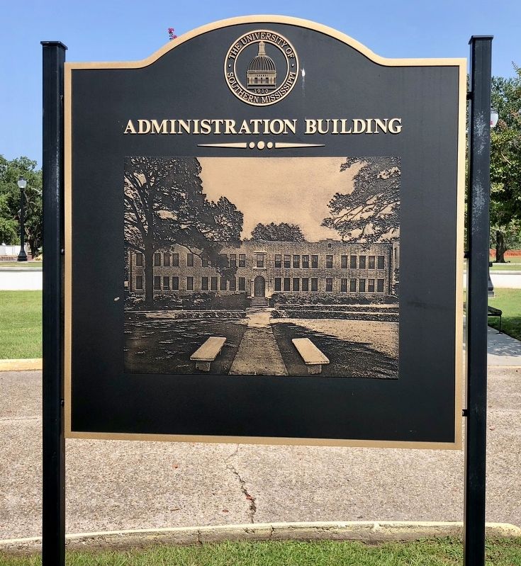
2. Graphic of the former Administration Building.
Photographed by Mark Hilton, August 23, 2018
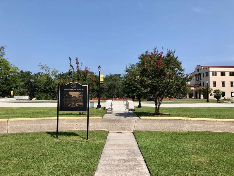
3. Administration Building Marker, stairs and foundation in background.
Photographed by Mark Hilton, August 23, 2018
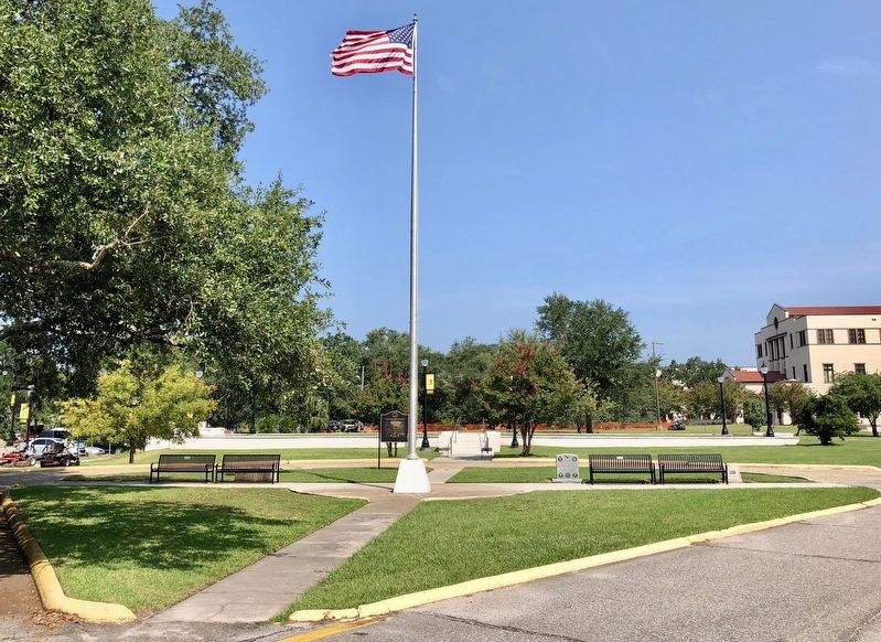
4. Wide view of former Administration Building and the marker.
Credits. This page was last revised on August 28, 2018. It was originally submitted on August 28, 2018, by Mark Hilton of Montgomery, Alabama. This page has been viewed 292 times since then and 27 times this year. Photos: 1, 2, 3, 4. submitted on August 28, 2018, by Mark Hilton of Montgomery, Alabama.
