Bonners Ferry in Boundary County, Idaho — The American West (Mountains)
Electrifying Bonners Ferry

Photographed By Barry Swackhamer, May 8, 2018
1. Electrifying Bonners Ferry Marker
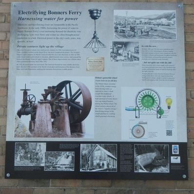
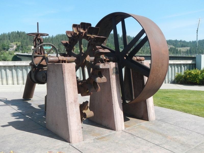
Captions:(center left) Pelton wheel fro the Myrtle Creek power plant; (top right) This 1906 photograph shows power poles in downtown Bonner's Ferry, but it would be years before the city had reliable power.; (center) In this 1928 photo of John Chevreneil's bakery, look closely for signs of modernization made possible by electric power.; (bottom left) Pharmacist J.F. Cook's turbine and power plant was the first attempt at getting power from the Myrtle River (1907).
Electricity and fast-flowing rivers are inseparable in the Pacific Northwest. In the early 1900s, harnessing the power of water to supply Bonners Ferry's ever-increasing demand for electricity was challenging. Low river flows and winter ice often brought power production to a halt. Electrical power in the city's early years, was sporadic, at best!
Private ventures light up the village
The area's first power plants were small private ventures. In 1902, local pharmacist, J.F. Cook, installed a turbine on the Moyie River, but never completed the project. The Newport Electric Light Company of Myrtle Creek provided the city's first electricity in 1905. In 1907, a new owner made improvements to the plant, added domestic water service, and renamed the business the Bonner Water & Light Company. One of these improvements was a Pelton wheel which generated electricity from 1906-1921.
By 1917, the power plant was over-taxed. The continual demand for more reliable electricity led to the city's purchase of the Myrtle Creek plant and formation of the Bonner Water and Light Department, marking the transition from private to public power.
Pelton's power wheel
A new twist on an old idea
The Pelton wheel, invented in the 1870s, extracts energy from moving water, as opposed to water's dead weight like traditional overshot wheels. A high-speed jet of water shoots into cup-shaped buckets turning the Pelton wheel. The wheel extracts almost all of the water's "impulse energy," transferring energy to the wheel and then to a turbine which generates electricity.
In with the new...
Between 1900 and 1920, the town's population grew from 349 to 1,236. Technological advances ranging from water pumps to electric irons created new uses for electricity in homes and businesses. Pumping flood water out of farmlands and electrifying sawmills created enormous new industrial energy demands.
... but not quite out with the old!
When electricity was in short supply, each section of town had power just a few hours a day. Residents kept candles and kerosene lamps on hand for back-up when the lights went out.
Pumping the city's water from the Kootenai River to storage tanks above the town also required electricity. During power outages, people reverted to using rain barrels and carrying water from the river in buckets.
Erected by Boundary County Historical Society, The International Selkirk Loop.
Topics. This historical marker is listed in these topic lists: Industry & Commerce • Waterways & Vessels. A significant historical year for this entry is 1902.
Location.
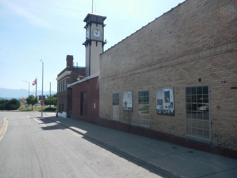
48° 41.869′ N, 116° 18.759′ W. Marker is in Bonners Ferry, Idaho, in Boundary County. Marker is on Riverside Drive near Main Street, on the right when traveling west. Touch for map. Marker is at or near this postal address: 6424 Riverside Drive, Bonners Ferry ID 83805, United States of America. Touch for directions.
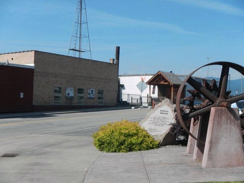
Other nearby markers. At least 8 other markers are within walking distance of this marker. Solving Power Problems (here, next to this marker); Pelton Wheel (within shouting distance of this marker); Crossing the Kootenai (within shouting distance of this marker); Logging Railroads (about 300 feet away, measured in a direct line); Railroad Services (about 300 feet away); Railroad Laborers (about 300 feet away); Spokane International Railway (about 300 feet away); Kootenai Valley Railway (about 300 feet away). Touch for a list and map of all markers in Bonners Ferry.
Credits. This page was last revised on August 24, 2020. It was originally submitted on August 30, 2018, by Barry Swackhamer of Brentwood, California. This page has been viewed 191 times since then and 17 times this year. Photos: 1, 2, 3, 4. submitted on August 30, 2018, by Barry Swackhamer of Brentwood, California.


