Atglen in Chester County, Pennsylvania — The American Northeast (Mid-Atlantic)
Atglen Borough Hall
1989 - 1994
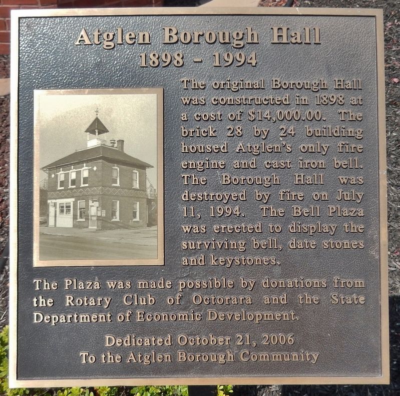
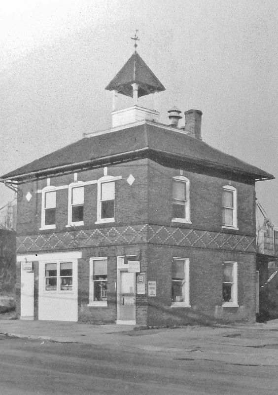
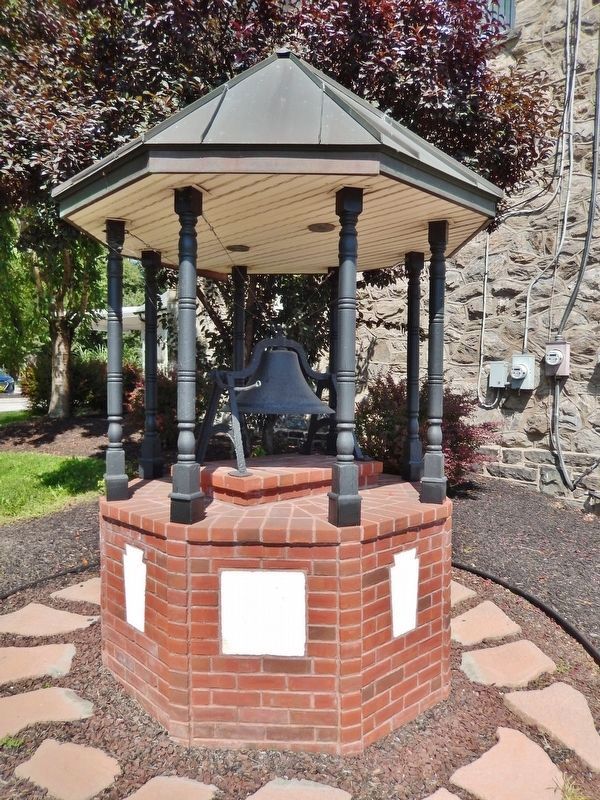
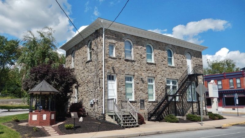
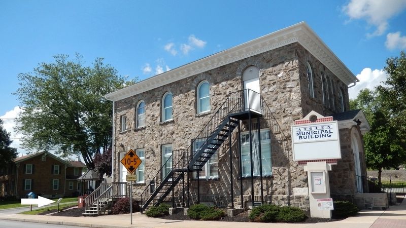
The original Borough Hall was constructed in 1898 at a cost of $14,000.00. The brick 28 by 24 building housed Atglen’s only fire engine and cast iron bell. The Borough Hall was destroyed by fire on July 11, 1994. The Bell Plaza was erected to display the surviving bell, date stones and keystones.
The Plaza was made possible by donations from the Rotary Club of Octorara and the State Department of Economic Development.
Erected 2006 by Rotary Club of Octorara & Pennsylvania State Department of Economic Development to the Atglen Borough Community.
Topics. This historical marker is listed in this topic list: Government & Politics. A significant historical year for this entry is 1898.
Location. 39° 56.964′ N, 75° 58.427′ W. Marker is in Atglen, Pennsylvania, in Chester County. Marker is on Valley Avenue (Pennsylvania Route 372) west of Main Street, on the right when traveling west. Marker is located beside the sidewalk, near the southwest corner of the Atglen Borough Hall building. Touch for map. Marker is at or near this postal address: 120 Main Street, Atglen PA 19310, United States of America. Touch for directions.
Other nearby markers. At least 8 other markers are within 3 miles of this marker, measured as the crow flies. Atglen (within shouting distance of this marker); World War II (about 600 feet away, measured in a direct line); East Octoraro #1 Bridge (1910-2020) (approx. one mile away); Philadelphia & Columbia Railroad Bridge at Pine Creek, Circa 1830 (approx. 1.1 miles away); Christiana Riot Monument (approx. 1.2 miles away); Mercer’s Mill Covered Bridge (1880) (approx. 1.3 miles away); The Christiana Riot (approx. 2.2 miles away); 1917-1918 (approx. 3 miles away). Touch for a list and map of all markers in Atglen.
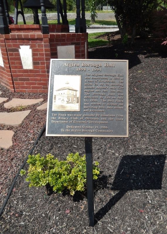
More about this marker. Marker is a large metal plaque, mounted horizontally on a waist-level post.
Credits. This page was last revised on July 14, 2021. It was originally submitted on August 30, 2018, by Cosmos Mariner of Cape Canaveral, Florida. This page has been viewed 230 times since then and 23 times this year. Photos: 1, 2, 3, 4, 5, 6. submitted on August 31, 2018, by Cosmos Mariner of Cape Canaveral, Florida. • Andrew Ruppenstein was the editor who published this page.
