
Bainbridge Center in Geauga County, Ohio — The American Midwest (Great Lakes)
Bainbridge Center Historic District
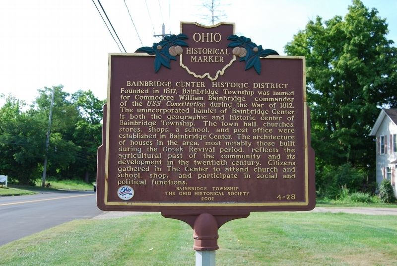
Photographed by Mike Wintermantel, August 31, 2018
1. Bainbridge Center Historic District Marker
Erected 2002 by Bainbridge Township and The Ohio Historical Society. (Marker Number 4-28.)
Topics and series. This historical marker is listed in these topic lists: Religion & Religious Structures • Settlements & Settlers • War of 1812. In addition, it is included in the Ohio Historical Society / The Ohio History Connection series list. A significant historical year for this entry is 1817.
Location. 41° 23.147′ N, 81° 20.368′ W. Marker is in Bainbridge
this page online

Regionally, this marker is in Greater Cleveland and in the Western Reserve. It is also in the American Midwest. Globally, it is in North America, on the Great Lakes, in the Western Hemisphere, in the Western World, and in the Anglosphere. Historically, it finds itself in what was once the Haudenosaunee (Iroquois) Confederacy, the territory of the Mississippian Culture, and the Northwest Territory.
Other nearby markers. At least 8 other markers are within 4 miles of this marker, measured as the crow flies: Building History (a few steps from this marker); Bainbridge School (approx. 0.2 miles away); Veterans Memorial (approx. 0.2 miles away); Carlton & Flora Lowe (approx. 0.2 miles away); a different marker also named Bainbridge Center Historic District (approx. 0.2 miles away); Chagrin Falls & Eastern Railway (approx. 2.9 miles away);
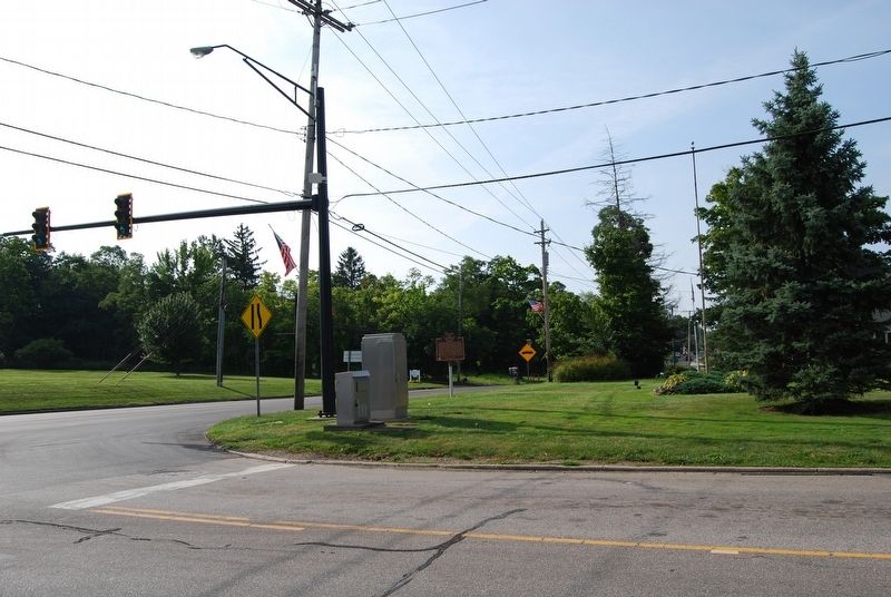
Photographed by Mike Wintermantel, August 31, 2018
2. Bainbridge Center Historic District Marker
Credits. This page was last revised on August 31, 2018. It was originally submitted on August 31, 2018, by Mike Wintermantel of Pittsburgh, Pennsylvania. This page has been viewed 578 times since then and 60 times this year. Photos: 1, 2. submitted on August 31, 2018, by Mike Wintermantel of Pittsburgh, Pennsylvania.
