Bainbridge Center in Geauga County, Ohio — The American Midwest (Great Lakes)
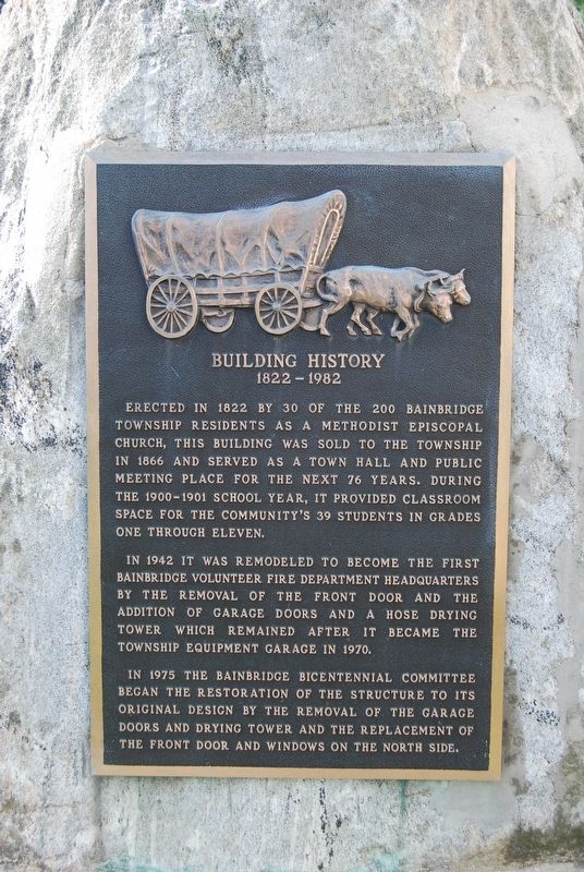
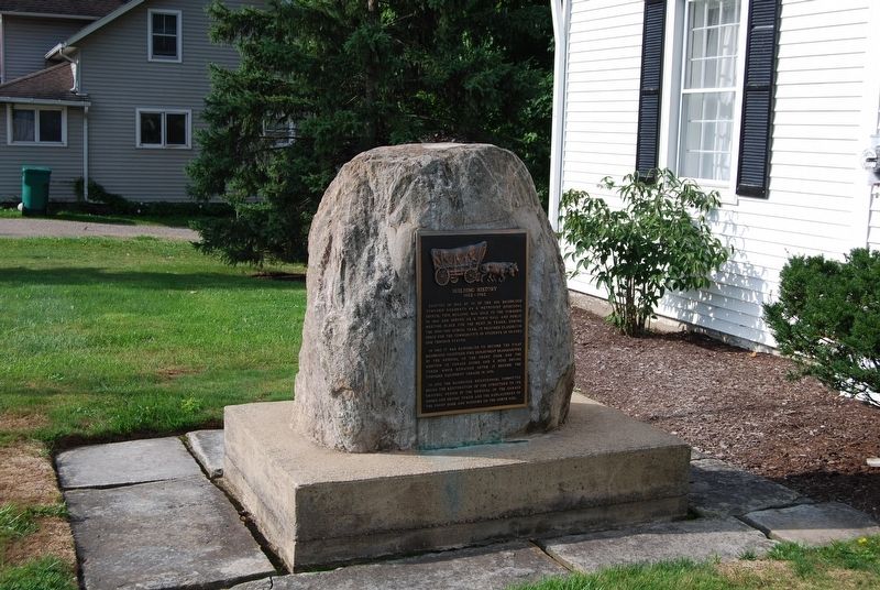
Building History
(1822-1982)
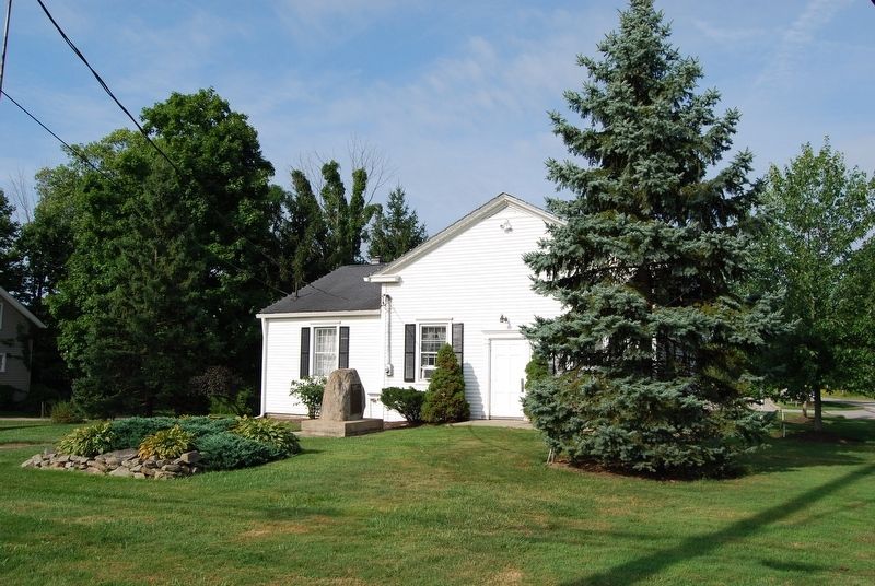
In 1942 it was remodeled to become the first Bainbridge volunteer fire department headquarters by the removal of the front door and the addition of garage doors and a hose drying tower which remained after it became the township equipment garage in 1970.
In 1975 the Bainbridge Bicentennial Committee began the restoration of the structure to its original design by the removal of the garage doors and drying tower and the replacement of the front door and windows on the north side.
Topics. This historical marker is listed in this topic list: Notable Buildings. A significant historical year for this entry is 1822.
Location. 41° 23.15′ N, 81° 20.382′ W. Marker is in Bainbridge Center, Ohio, in Geauga County. Marker can be reached from the intersection of Bainbridge Road and Chillicothe Road (Ohio Route 306). Touch for map. Marker is in this post office area: Chagrin Falls OH 44023, United States of America. Touch for directions.
Other nearby markers. At least 8 other markers are within 5 miles of this marker, measured as the crow flies. Bainbridge Center Historic District (a few steps from this marker); Bainbridge School (approx. 0.2 miles away); Veterans Memorial (approx. 0.2 miles away); Carlton & Flora Lowe (approx. 0.2 miles away); Chagrin Falls & Eastern Railway (approx. 2.9 miles away); Geauga Lake (approx. 3.3 miles away); The Chagrin River's "High Falls" (approx. 4.1 miles away); The Chillicothe Turnpike (approx. 4.8 miles away).
Credits. This page was last revised on August 31, 2018. It was originally submitted on August 31, 2018, by Mike Wintermantel of Pittsburgh, Pennsylvania. This page has been viewed 174 times since then and 14 times this year. Photos: 1, 2, 3. submitted on August 31, 2018, by Mike Wintermantel of Pittsburgh, Pennsylvania.


