
Ruth in Lincoln County, Mississippi — The American South (East South Central)
Site of Ruth School

Photographed by Cajun Scrambler, August 25, 2018
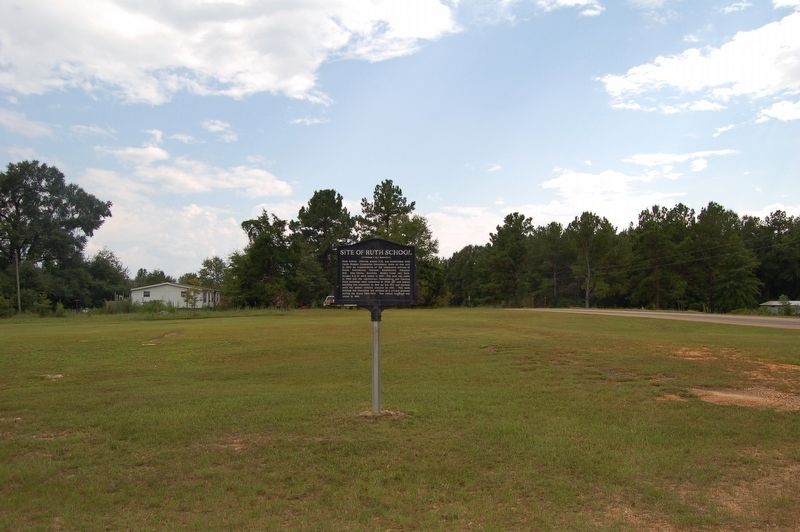
1. Site of Ruth School Marker
Ruth School, offering grades 1-10, was established with Smith-Hughes Foundation Endowment funds at this site in 1924 by consolidation of the community schools of Eaton, Providence, Topisaw, Sweetwater, Pleasant Hill, Pine Grove, Excelsia, Moaks Creek and Ruth. Grades 11 & 12 were added in 1931. The gym was added in 1936 and the Agriculture - Homemaking and Canning Plant buildings were completed in 1938. A new school building was completed in 1941 by the WPA and utilized until the public school's closure in 1961. The main building was remodeled and utilized as a private academy during the years 1969-1977. The school building was razed in 1991
Topics. This historical marker is listed in this topic list: Education.
Location. 31° 22.723′ N, 90° 19.047′ W. Marker is in Ruth, Mississippi, in Lincoln County. It is on Ruth Drive SE (State Highway 570/591) south of State Highway 583, on the right when traveling north. Touch for map. Marker is in this post office area: Ruth MS 39662, United States of America. Touch for directions.

Regionally, this marker is in Southwest
this page online
Other nearby markers. At least 8 other markers are within 8 miles of this marker, measured as the crow flies: Mississippi Territory (approx. 4.2 miles away); Felder Campground (approx. 4.2 miles away); Col. Preston Brent (approx. 6.6 miles away); Pioneer Homesite (approx. 6.6 miles away); Bogue Chitto Church (approx. 6.8 miles away); Home Site 1812 - 1855 (approx. 7 miles away); a different marker also named Pioneer Homesite (approx. 7½ miles away); East Lincoln High School (approx. 7½ miles away).
Photographed by Cajun Scrambler, August 25, 2018
2. Site of Ruth School Marker
Credits. This page was last revised on June 2, 2023. It was originally submitted on September 1, 2018, by Cajun Scrambler of Assumption, Louisiana. This page has been viewed 796 times since then and 79 times this year. Photos: 1, 2. submitted on September 1, 2018.
