Rocksprings in Edwards County, Texas — The American South (West South Central)
The Sesquicentennial Committee Erects This Marker
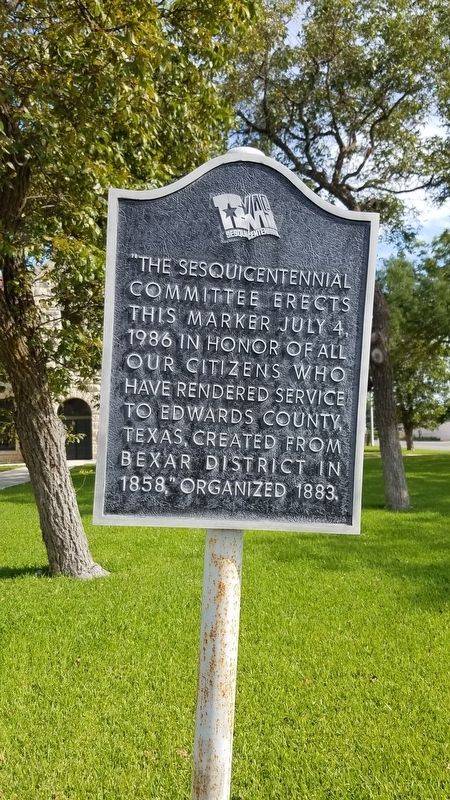
Photographed by Jenn Wintermantel
1. The Sesquicentennial Committee Erects This Marker Marker
Topics. This memorial is listed in this topic list: Military.
Location. 30° 0.951′ N, 100° 12.482′ W. Memorial is in Rocksprings, Texas, in Edwards County. It is at the intersection of West Main Street and North Well Street, on the right when traveling west on West Main Street. Touch for map. Memorial is in this post office area: Rocksprings TX 78880, United States of America. Touch for directions.

Regionally, this memorial is in the Hill Country. It is also in the American Borderlands. Globally, it is in North America, a Gulf of Mexico state, the Western Hemisphere, the Western World, and the Anglosphere. Historically, it finds itself in what was once New Spain, the Republic of Texas, and one of the Confederate States of America.
Other nearby markers. At least 8 other markers are within walking distance of this marker: Edwards County (here, next to this marker); Edwards County Courthouse (within shouting distance of this marker); Rocksprings Telephone Company (within shouting distance of this marker); Old Carson Store (about 300 feet away, measured in a direct line); Gilmer Hotel (about 400 feet away); Headquarters, American Angora Goat Breeders' Assn. (about 400 feet away); First Methodist Church (about 500 feet away); Site of Rocksprings' First School Building (about 800 feet away). Touch for a list and map of all markers in Rocksprings.
this page online
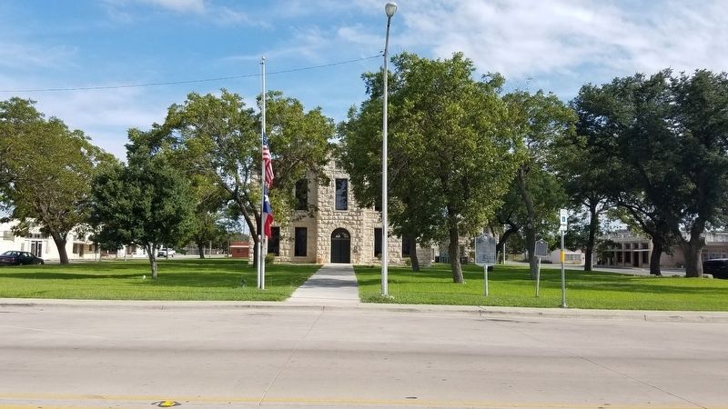
Photographed by Jenn Wintermantel
2. The Sesquicentennial Committee Erects This Marker Marker
Credits. This page was last revised on September 3, 2018. It was originally submitted on September 3, 2018, by Mike Wintermantel of Pittsburgh, Pennsylvania. This page has been viewed 312 times since then and 22 times this year. Photos: 1, 2. submitted on September 3, 2018, by Mike Wintermantel of Pittsburgh, Pennsylvania.
