Jerome in Yavapai County, Arizona — The American Mountains (Southwest)
Rocket Shovel and Dragline
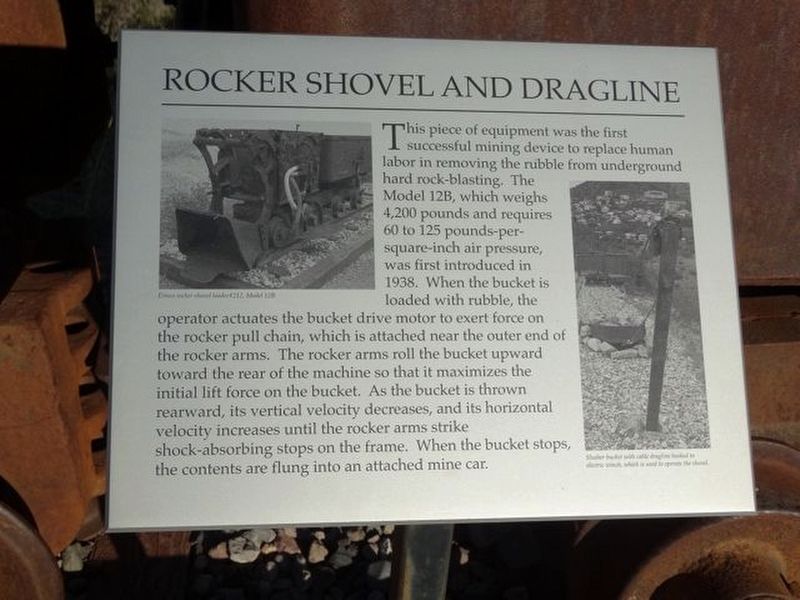
Photographed by Denise Boose, September 30, 2017
1. Rocket Shovel and Dragline Marker
Erected by Jerome Historical Society.
Topics. This historical marker is listed in this topic list: Natural Resources. A significant historical year for this entry is 1938.
Location. 34° 45.004′ N, 112° 6.462′ W. Marker is in Jerome, Arizona, in Yavapai County. It is on Hampshire Avenue (Arizona Route
this page online

Regionally, this marker is in Verde Valley. It is also in the American Southwest and in the Mountain West. Globally, it is in North America, the Western Hemisphere, the Western World, and the Anglosphere. Historically, it finds itself in what was once New Spain and also Mexico’s Alta California.
Other nearby markers. At least 8 other markers are within walking distance of this marker: Jerome, Arizona (a few steps from this marker); The Arizona Republic (within shouting distance of this marker); Main Street Primary School (approx. 0.3 miles away); The Gibson Market (approx. 0.3 miles away); The Childs-Irving Project - Construction Challenges (approx. 0.4 miles away); The Irving Turbine and Generator (approx. 0.4 miles away); The Childs-Irving Project-Hydroelectric Project (approx. 0.4 miles away); The Audrey Shaft and UVX Operations (approx. 0.4 miles away). Touch for a list and map of all markers in Jerome.
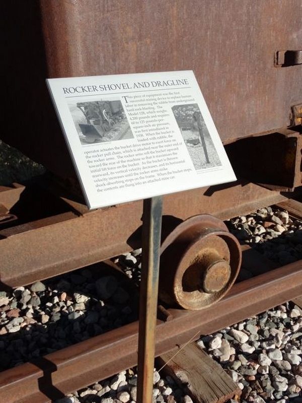
Photographed by Denise Boose, September 30, 2017
2. Rocket Shovel and Dragline Marker
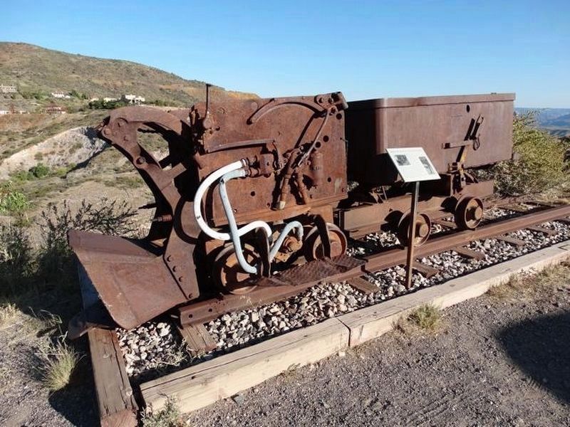
Photographed by Denise Boose, September 30, 2017
3. Rocket Shovel and Dragline
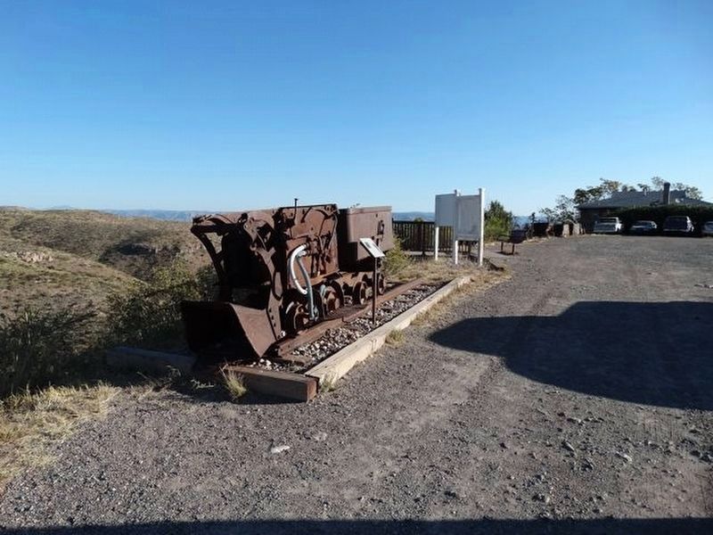
Photographed by Denise Boose, September 30, 2017
4. Rocket Shovel and Dragline
Credits. This page was last revised on September 4, 2018. It was originally submitted on September 3, 2018, by Denise Boose of Tehachapi, California. This page has been viewed 542 times since then and 27 times this year. Photos: 1, 2, 3, 4. submitted on September 3, 2018, by Denise Boose of Tehachapi, California. • Syd Whittle was the editor who published this page.
