Webster in Worcester County, Massachusetts — The American Northeast (New England)
Samuel Slater
August 28, 2018
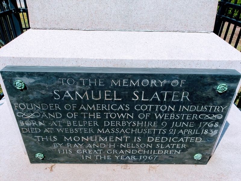
1. Samuel Slater Marker
To the memory of
Samuel Slater
Founder of America’s Cotton Industry
And the Town of Webster
Born at Belper Derbyshire 9 June 1768
Died at Webster Massachusetts 21 April 1835
This monument is dedicated
By Ray and H. Nelson Slater
his Great Grandchildren
In the year 1967
Erected 1967.
Topics. This historical marker is listed in these topic lists: Industry & Commerce • Settlements & Settlers.
Location. 42° 3.628′ N, 71° 51.816′ W. Marker is in Webster, Massachusetts, in Worcester County. It is on Route 16 near Route 12. Touch for map. Marker is at or near this postal address: 2 Worcester Rd, Webster MA 01570, United States of America. Touch for directions.

Regionally, this marker is in the Quiet Corner and in Greater Worcester. It is also in the American Northeast and in New England. Globally, it is in North America, the Western Hemisphere, the Western World, and the Anglosphere. Historically, it finds itself in what was once one of the original Thirteen Colonies.
Other nearby markers. At least 8 other markers are within 4 miles of this marker,
this page online
Also see . . . Samuel Slater Wikipedia. (Submitted on September 4, 2018.)
Additional commentary.
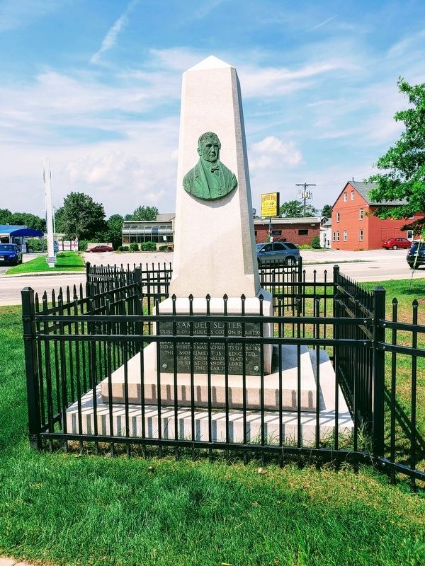
1. Original location was 300 feet to the east.
The monument was previously located approximately 300 feet to the east on the south side of East Main Street, near the site of Webster's First Sunday School. It was relocated in 2012 as part of a redevelopment project.
— Submitted March 18, 2023, by Marc Belanger of Reno, Nevada.
August 28, 2018
2. Samuel Slater Marker
Credits. This page was last revised on February 3, 2026. It was originally submitted on September 4, 2018. This page has been viewed 860 times since then and 54 times this year. Photos: 1, 2. submitted on September 4, 2018. • Bill Pfingsten was the editor who published this page.
