
Summit in Pike County, Mississippi — The American South (East South Central)
Felder Campground
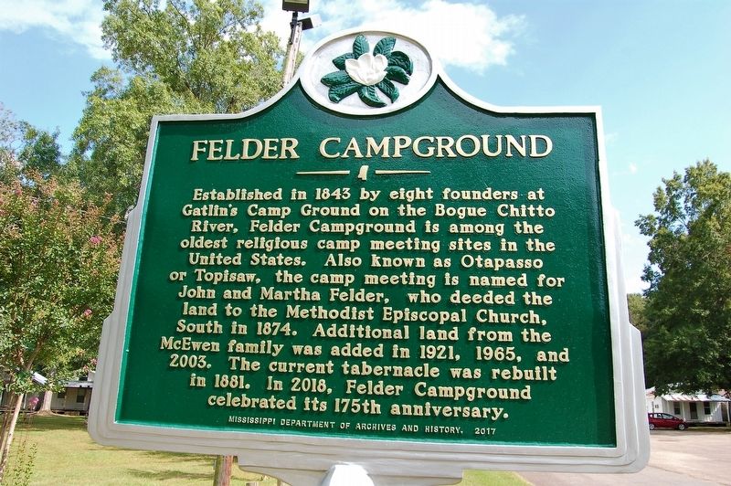
Photographed by Cajun Scrambler, August 25, 2018
1. Felder Campground Marker
Erected 2017 by Mississippi Department of Archives and History.
Topics. This historical marker is listed in this topic list: Religion & Religious Structures.
Location. 31° 19.097′ N, 90° 19.156′ W. Marker is in Summit, Mississippi, in Pike County. It is on Campground Road east of State Highway 590/571, on the left when traveling east. Touch for map. Marker is at or near this postal address: 1014 Campground Road, Summit MS 39666, United States of America. Touch for directions.

Regionally, this marker is in Southwest Mississippi. It is also in the
this page online
Other nearby markers. At least 8 other markers are within 8 miles of this marker, measured as the crow flies: Mississippi Territory (within shouting distance of this marker); Col. Preston Brent (approx. 2½ miles away); Bogue Chitto Church (approx. 3.4 miles away); Site of Ruth School (approx. 4.2 miles away); J.A. Jones Consolidated School (approx. 4.8 miles away); Home Site 1812 - 1855 (approx. 7.6 miles away); War of 1812, Pike County (approx. 7.9 miles away); Old Pike County Chancery Clerk's Office (approx. 7.9 miles away). Touch for a list and map of all markers in Summit.
Also see . . . Felder's Campmeeting Homepage. (Submitted on September 4, 2018.)
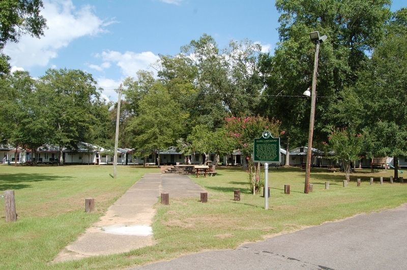
Photographed by Cajun Scrambler, August 25, 2018
2. Felder Campground Marker
Credits. This page was last revised on July 6, 2022. It was originally submitted on September 4, 2018, by Cajun Scrambler of Assumption, Louisiana. This page has been viewed 1,819 times since then and 207 times this year. Photos: 1, 2. submitted on September 4, 2018.
