Webster in Worcester County, Massachusetts — The American Northeast (New England)
Slater Cotton Mill
August 28, 2018
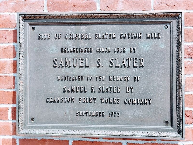
1. Slater Cotton Mill Marker
Site of original Slater Cotton Mill
Established circa 1812 by
Samuel S. Slater
Dedicated to the memory of
Samuel S. Slater by
Cranston Print Works Company
September 1977
Erected 1977 by Cranston Print Works Company.
Topics. This historical marker is listed in this topic list: Industry & Commerce. A significant historical year for this entry is 1812.
Location. 42° 3.624′ N, 71° 51.812′ W. Marker is in Webster, Massachusetts, in Worcester County. It is on Route 16 near Route 12. Touch for map. Marker is at or near this postal address: 2 Worcester Rd Webster MA 01570, Webster MA 01570, United States of America. Touch for directions.

Regionally, this marker is in the Quiet Corner and in Greater Worcester. It is also in the American Northeast and in New England. Globally, it is in North America, the Western Hemisphere, the Western World, and the Anglosphere. Historically, it finds itself in what was once one of the original Thirteen Colonies.
Other nearby markers. At least 8 other markers are within 4 miles of this marker, measured as the crow flies: Samuel Slater (a few steps from this marker);
this page online
Also see . . . Samuel Slater Wikipedia. (Submitted on September 4, 2018.)
Additional commentary.
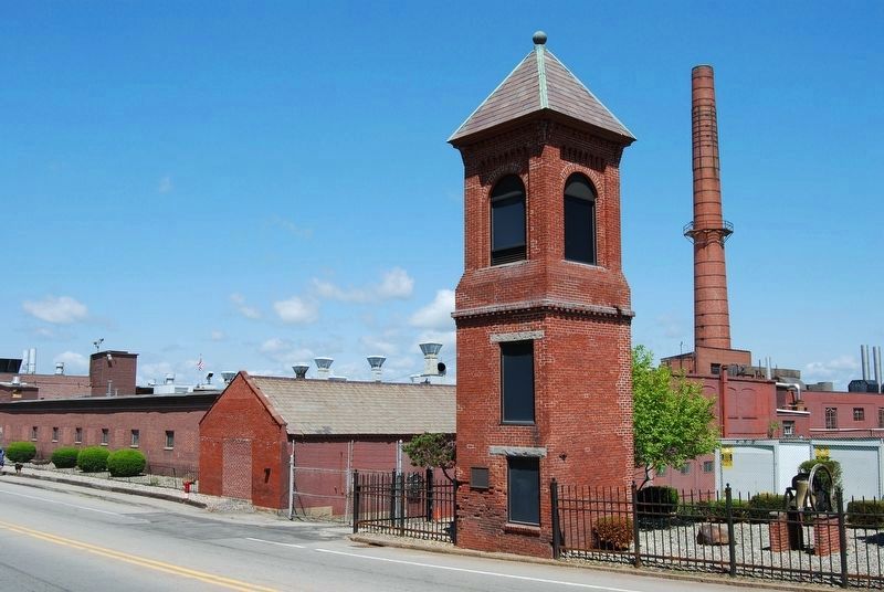
1. Original location was 300 feet to the east.
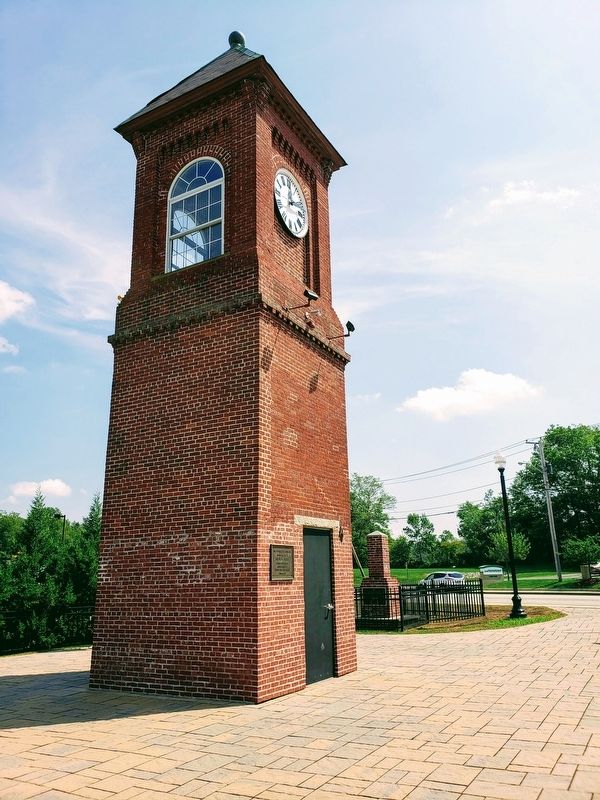
The tower was relocated approximately 300 feet west in 2012 during redevelopment of the site.
— Submitted March 18, 2023, by Marc Belanger of Reno, Nevada.
August 28, 2018
2. Slater Cotton Mill Marker
Photographed by Marc Belanger, May 30, 2009
3. Slater Cotton Mill and Marker
The original tower location was approximately 300 feet to the east of the current location. The tower was relocated and rebuilt in 2012.
Credits. This page was last revised on March 19, 2023. It was originally submitted on September 4, 2018. This page has been viewed 860 times since then and 76 times this year. Photos: 1, 2. submitted on September 4, 2018. 3. submitted on March 18, 2023, by Marc Belanger of Reno, Nevada. • Andrew Ruppenstein was the editor who published this page.
