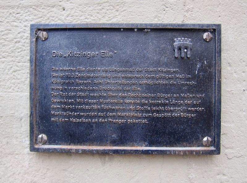
Die "Kitzinger Elle" / The "Kitzingen Foot"
Der Rat der Stadt wachte über das Recht seiner Bürger an Massen und Gewichten. Mit dieser Musterstelle könnte die korrekte Länge der auf dem Markt verkauften. Tuchwaren und Stoffe leicht überprueft werden, Marktsünder wurden auf dem Marktplatz zu Gespött der Bürger mit dem Halseisen and den Pranger gekettet.
-
The iron foot served as offical length of measure in the City of Kitzingen. At 33.3 centimeters, it was the official measure of length in the Kingdom of Bavaria. Eight subdivisions along the foot allowed for the conversion of length into different fractions.
The city council had supervisory authority over the use of weights and measures. With this example in place it was possible to judge the correct lengths of goods sold at the market. Cloth goods and fabrics were easily checked, and market cheaters were chained with a neckiron
Topics. This historical marker is listed in this topic list: Industry & Commerce.
Location. 49° 44.345′ N, 10° 9.711′ E. Marker is in Kitzingen, Bayern (Bavaria). Marker is on Marktstrasse just west of Obere Kirchgasse, on the right when traveling west. Touch for map. Marker is in this post office area: Kitzingen BY 97318, Germany. Touch for directions.
Other nearby markers. At least 8 other markers are within 8 kilometers of this marker, measured as the crow flies. The Bombing of Kitzingen (a few steps from this marker); Evang.-luth. Stadtkirche / Protestant Lutheran City Church (within shouting distance of this marker); Home of Friedrich von Deuster (about 240 meters away, measured in a direct line); Alte Synagoge / Former Synagogue (approx. 0.3 kilometers away); Mainstockheim Synagogue (approx. 4.1 kilometers away); The Bacchus Inn (approx. 6.9 kilometers away); Dettelbach Synagogue (approx. 7 kilometers away); Dettelbach City Hall (approx. 7 kilometers away). Touch for a list and map of all markers in Kitzingen.
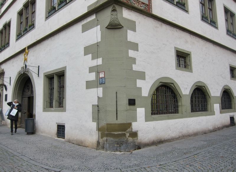
More about this marker. The marker is mounted to the side of the city hall.
Credits. This page was last revised on January 28, 2022. It was originally submitted on September 5, 2018, by Andrew Ruppenstein of Lamorinda, California. This page has been viewed 394 times since then and 139 times this year. Photos: 1, 2. submitted on September 5, 2018, by Andrew Ruppenstein of Lamorinda, California.

