Wise Gap in Monroe County, Mississippi — The American South (East South Central)
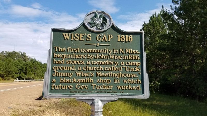
Wise's Gap 1816
Erected 1976 by Monroe County Bicentennial Committee.
Topics. This historical marker is listed in these topic lists: Cemeteries & Burial Sites • Churches & Religion • Government & Politics • Settlements & Settlers. A significant historical year for this entry is 1816.
Location. 33° 53.968′ N, 88° 19.979′ W. Marker is in Wise Gap, Mississippi, in Monroe County. Marker is at the intersection of U.S. 278 and Tribble Road, on the right when traveling south on U.S. 278. Touch for map. Marker is in this post office area: Greenwood Springs MS 38848, United States of America. Touch for directions.
Other nearby markers. At least 8 other markers are within 11 miles of this marker, measured as the crow flies. Splunge Free Will Baptist Church (approx. 5.3 miles away); Mormon Springs (approx. 5˝ miles away); Howell Cemetery (approx. 5.8 miles away); Center Point Church (approx. 6.3 miles away); Athens (approx. 6.6 miles away); New Hope Church (approx. 7.3 miles away); Becker Post Office (approx. 10.1 miles away); Gilmore Sanitarium (approx. 10.1 miles away).
Credits. This page was last revised on September 11, 2018. It was originally submitted on September 6, 2018, by Mike Wintermantel of Pittsburgh, Pennsylvania. This page has been viewed 443 times since then and 55 times this year. Photos: 1, 2. submitted on September 6, 2018, by Mike Wintermantel of Pittsburgh, Pennsylvania.

