Maison Marie-Joseph-Larchevêque
Marie-Joseph Larchevêque House
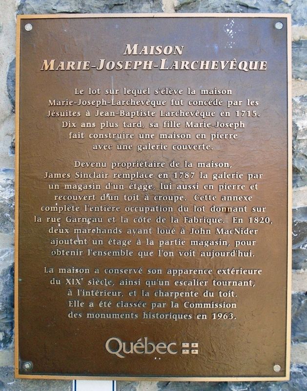

Devenu propriétaire de la maison, James Sinclair remplace en 1787 la galerie par un magasin d'un étage, lui aussi en pierre et recouvert d'un toit à croupe. Cette annexe complète l'entière occupation du lot donnant sur la rue Garneau et la côte de la Fabrique. En 1820, deux marchands ayant loué à John MacNider ajoutent un étage à la partie magasin, pour obtenir l'ensemble que l'on voit aujourd'hui.
La maison a conservé son apparence extérieure du XIXe siècle, ainsi qu'un escalier tournant, à l'intérieur, et la charpente du toit. Elle a été classée par la Commission des monuments historiques en 1963.
The lot on which stands the Marie-Joseph Larchevêque House was granted by the Jesuits to Jean-Baptiste Larchevêque in 1715. Ten years later, his daughter Marie-Joseph built a stone house with a covered gallery.
In 1787 James Sinclair became the owner of the house
The house has retained its nineteenth century exterior appearance, as well as a spiral staircase on the inside and the roof structure. It was classified by the Commission of Historic Monuments in 1963.
this page online
Erected by Gouvernement du Québec.
Topics. This historical marker is listed in these topic lists: Colonial Era • Industry & Commerce • Settlements & Settlers. A significant historical year for this entry is 1715.
Location. 46° 48.879′ N, 71° 12.519′ W. Marker is in Québec, in Capitale-Nationale. It is in Haute-Ville. It is at the intersection of Côte de la Fabrique and rue Garneau, on the left when traveling east on Côte de la Fabrique. Touch for map. Marker is at or near this postal address: 54 Côte de la Fabrique, Québec G1R 3V5, Canada. Touch for directions.
Regionally, this marker is in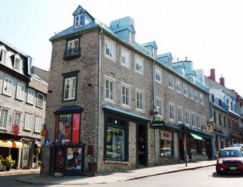
Other nearby markers. At least 8 other markers are within walking distance of this marker: Les photographes Livernois (within shouting distance of this marker); Octave Crémazie (within shouting distance of this marker); Calixa Lavallée (within shouting distance of this marker); Site historique du Monastère-des-Augustines de-l'Hôtel-Dieu-de-Québec (about 120 meters away, measured in a direct line); Marie-Catherine de Saint-Augustin (about 120 meters away); Le Vieux-Québec, site du patrimoine mondial de l'UNESCO (about 120 meters away); Maison François-Xavier Garneau (about 120 meters away); L'hôtel de Ville de Québec / Québec City Hall (about 120 meters away). Touch for a list and map of all markers in Québec.
Credits. This page was last revised on February 9, 2023. It was originally submitted on September 7, 2018, by William Fischer, Jr. of Reynoldsburg, Ohio. This page has been viewed 434 times since then and 32 times this year. Photos: 1, 2. submitted on September 7, 2018, by William Fischer, Jr. of Reynoldsburg, Ohio.
