Downtown in ReykjavÝk in ReykjavÝkurborg, H÷fuborgarsvŠi, Iceland — North Atlantic and Artic Oceans (a Nordic Island)
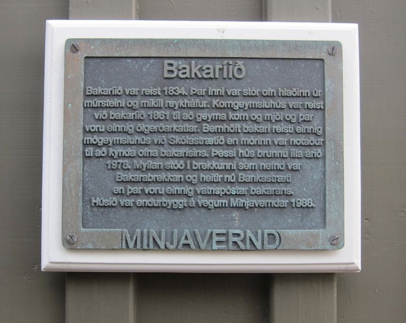
BakarÝi / Bakery
-
The bakery was built in 1834. Inside there was a large oven made of brick and a large chimney. A grain storehouse was built at the bakery in 1861 to store grain and flour, and there were also beer fermentation tanks. Bernh÷ft, the baker, also built a warehouse on School Street, with fats being used to fuel the bakery ovens. This building suffered severe fire damage in 1978. There was also a mill was on the slope, called Baker's Slope (now BankastrŠti), where there were also boilers for the bakery. The building was renovated in 1986 by the Ministry of Conservation of Antiquities.
Erected by Minjavernd.
Topics. This historical marker is listed in this topic list: Industry & Commerce. A significant historical year for this entry is 1834.
Location. 64° 8.808′ N, 21° 56.163′ W. Marker is in ReykjavÝk, Capital Region (H÷fuborgarsvŠi), in ReykjavÝkurborg. It is in Downtown. Marker can be reached from the intersection of LŠkjargata and BankastrŠti. Touch for map. Marker is at or near this postal address: SkˇlastrŠti 2, 101, ReykjavÝk, Capital Region 101, Iceland. Touch for directions.
Other nearby markers. At least 8 other markers are within walking distance of this marker. Gimli (a few steps from this marker); Bernh÷ftsh˙s (a few steps from this marker); Bernh÷ftstorfan / Bernh÷ft's Sward (a few steps from this marker); LandlŠknih˙si (within shouting distance of this marker); ForsŠtisrßuneyti / Prime Minister's Office (within shouting distance of this marker); Menntaskˇlinn Ý ReykjavÝk / High School in ReykjavÝk (about 90 meters away, measured in a direct line); Hressingarskßlinn (about 90 meters away); Ůjˇfundurinn 1851 / The National Assembly of 1851 (about 90 meters away). Touch for a list and map of all markers in ReykjavÝk.
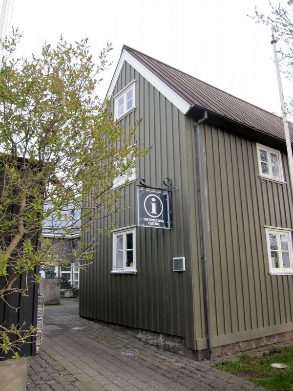
More about this marker. The marker is located on the west (back) side of the tourist information building.
Credits. This page was last revised on August 27, 2023. It was originally submitted on September 8, 2018, by Andrew Ruppenstein of Lamorinda, California. This page has been viewed 159 times since then and 9 times this year. Photos: 1, 2. submitted on September 8, 2018, by Andrew Ruppenstein of Lamorinda, California.

