Near Lolo in Missoula County, Montana — The American West (Mountains)
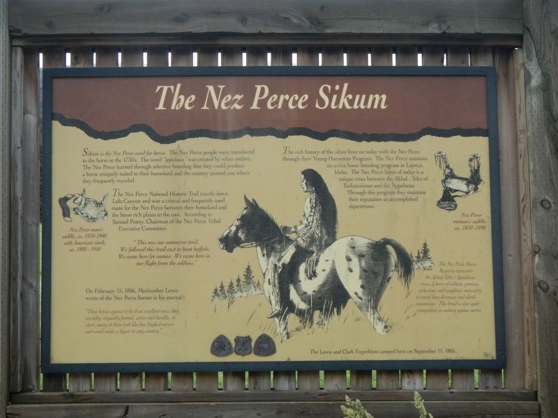
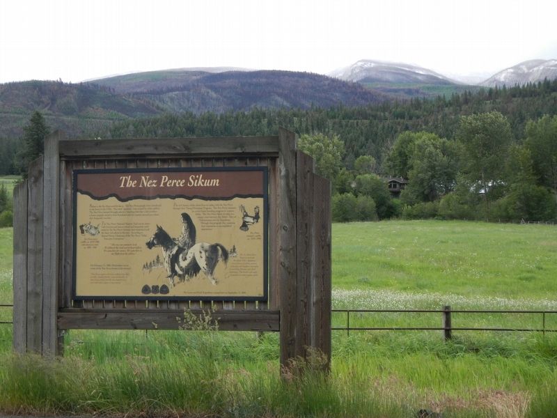
The Nez Perce Sikum
Photographed by Barry Swackhamer, May 10, 2018
1. The Nez Perce Sikum Marker
The Nez Perce National Historic Trail travels down Lolo Canyon and was a critical and frequently used route for the Nez Perce between their homeland and the bison rich plains to the east. According to Samuel Penny, Chairman of the Nez Perce Tribal Executive Committee:
On February 15, 1806, Meriwether Lewis wrote of the Nez Perce horses in his journal:
The rich history of the sikum lives on today with the Nez
this page online
The Lewis and Clark Expedition camped here on September 11, 1805.
Erected by U.S. Forest Service.
Topics. This historical marker is listed in these topic lists: Animals • Indigenous Peoples and Communities. A significant historical date for this entry is September 11, 1805.
Location. 46° 45.27′ N, 114° 13.536′ W. Marker is near Lolo, Montana, in Missoula County. It is on U.S. 12 near Arena Drive, on the left when traveling west. Touch for map. Marker is at or near this postal address: 16175 U.S Highway 12, Lolo MT 59847, United States of America. Touch for directions.

Regionally, this marker
Photographed by Barry Swackhamer, May 10, 2018
2. The Nez Perce Sikum Marker
Other nearby markers. At least 8 other markers are within 7 miles of this marker, measured as the crow flies: The "Soldiers' Corral" (approx. 2½ miles away); Taking Cover… (approx. 2½ miles away); Pauses and Parleys (approx. 2½ miles away); Outwitted and Outflanked (approx. 2½ miles away); Fort Fizzle (approx. 2.6 miles away); Lewis and Clark on Lolo Creek (approx. 2.6 miles away); A Crossroads of Culture (approx. 6½ miles away); Following Formation (approx. 6½ miles away). Touch for a list and map of all markers in Lolo.
More about this marker. The marker is located near Lolo Peak Arena.
Also see . . . About us. Appaloosa Horse Club entry:
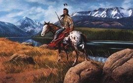
It is unknown how many of the Nez Perce’s horses were spotted, but a possible estimate is ten percent. Settlers
Photographed by Appaloosa Horse Club
3. The Nez Perce Sikum (Appaloosa)
Credits. This page was last revised on February 3, 2021. It was originally submitted on September 10, 2018, by Barry Swackhamer of Brentwood, California. This page has been viewed 973 times since then and 78 times this year. Photos: 1, 2, 3. submitted on September 10, 2018, by Barry Swackhamer of Brentwood, California.
