Near Gardiner in Park County, Montana — The American West (Mountains)
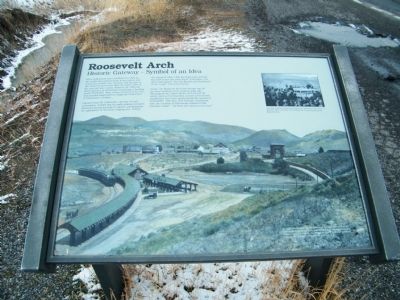
Roosevelt Arch
Historic Gateway - Symbol of an Idea
Photographed by Rich Pfingsten, March 23, 2009
1. Roosevelt Arch Marker
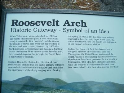
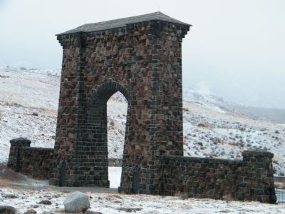
Captain Hiram M. Chittenden, director of road construction, decided that the park's primary entrance deserved a formal structure to improve and dramatize the appearance of the dusty staging area. During the spring of 1903, a fifty-foot high stone archway was built to face the train depot. From there, the arch's inscription, "For the Benefit and Enjoyment of the People" welcomed visitors.
Today, the Roosevelt Arch has become one of the great symbols of the national park idea. Throughout the United States and around the world, places of outstanding natural and cultural significance have been preserved for the benefit of humankind. This idea, first officially sanctioned with the creation of Yellowstone
this page online
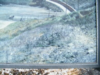
Background Photo Caption - By 1927, landscaping further enhanced the road winding from the train depot to Roosevelt Arch. Automobiles were changing how and where people travelled; by the 1940's the North Entrance would no longer be the primary route into the park.
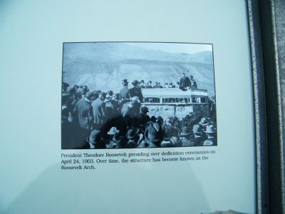
Inset Photo Caption - President Theodore Roosevelt presiding over dedication ceremonies on April 24, 1903. Over time, the structure has become known as the Roosevelt Arch.
Topics and series. This historical marker is listed in this topic list: Landmarks. In addition, it is included in the Former U.S. Presidents: #26 Theodore Roosevelt series list.
Location. Marker has been reported permanently removed. It was located near 45° 1.727′ N, 110° 42.443′ W. Marker was near Gardiner, Montana, in Park County. It was on North Entrance Road 0.1 miles south of West Park Street, on the right when traveling south. North Entrance Road is also known as US Route 89, but in Yellowstone National Park, it is better known as North Entrance Road. Touch for map. Marker
Photographed by Rich Pfingsten, March 23, 2009
2. Roosevelt Arch Marker - close-up of text
We have been informed that this marker is no longer there and will not be replaced. This page is an archival view of what was.
Regionally, this marker was in Yellowstone Country and in Greater Bozeman. It was also in the American Mountain West and in the Lewis & Clark Corridor. Globally, it was in North America, the Rocky Mountains, the Western Hemisphere, the Western World, and the Anglosphere. Historically, it found itself in what was once Rupert’s Land and also the Louisiana Purchase.

Other nearby markers. At least 8 other markers are within 3 miles of this location, measured as the crow flies: Serving Visitors Since the Beginning (about 500 feet away, measured in a direct line); a different marker also named Roosevelt Arch (about 600 feet away); Gardiner Jail (approx. 0.2 miles away); A Wildlife Paradise (approx. ¾ mile away); Yellowstone's Northern Range (approx. ¾ mile away); Wildlife Migrations (approx. one mile away); Wildlife of the Northern Range (approx. one mile away); Boiling River Trail (approx. 2.6 miles away). Touch for a list and map
Photographed by Rich Pfingsten, March 23, 2009
3. Roosevelt Arch Marker - close-up of background photo caption
Photographed by Rich Pfingsten, March 23, 2009
4. Roosevelt Arch Marker - close-up of inset photo caption
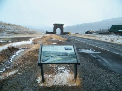
Photographed by Rich Pfingsten, March 23, 2009
5. Roosevelt Arch Marker with Roosevelt Arch in background
Photo is taken looking north towards Gardiner, MT
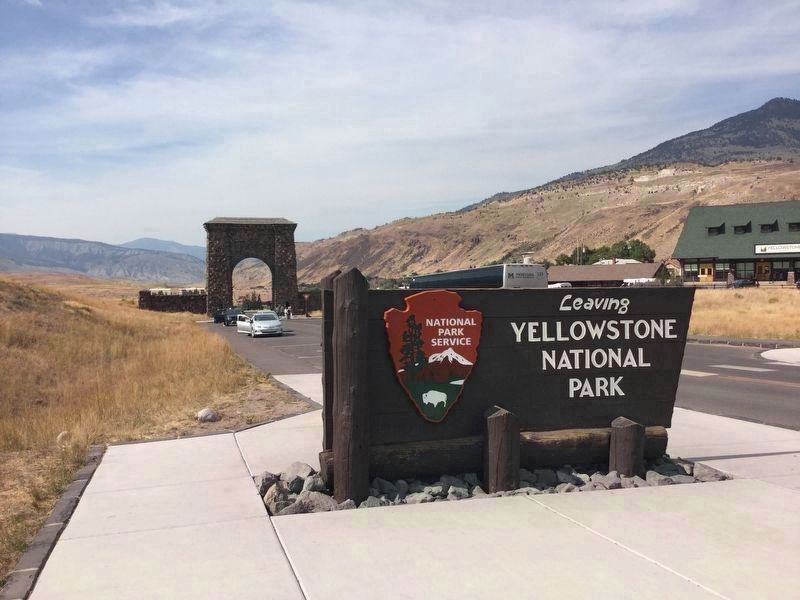
Photographed by Craig Baker, September 10, 2018
6. Marker is Missing
The marker was removed, and a new marker has been installed north of the arch.
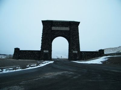
Photographed by Rich Pfingsten, March 23, 2009
7. Roosevelt Arch looking south towards Yellowstone National Park
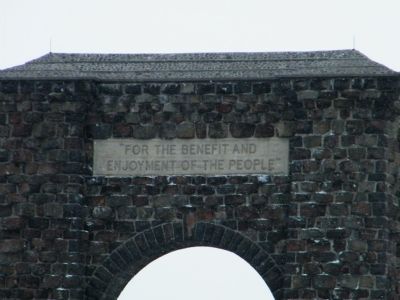
Photographed by Rich Pfingsten, March 23, 2009
8. Roosevelt Arch Inscription
"For the Benefit and Enjoyment of the People"
Photographed by Rich Pfingsten, March 23, 2009
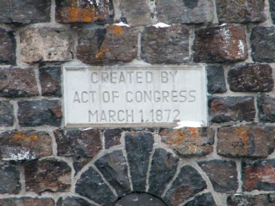
9. Roosevelt Arch - Yellowstone Park Establishment Date Inscription
Created by Act of Congress March 1, 1872
Photographed by Rich Pfingsten, March 23, 2009
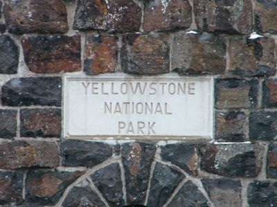
10. Roosevelt Arch - Yellowstone National Park Inscription
Photographed by Rich Pfingsten, March 23, 2009
11. Roosevelt Arch - Close-up of South Side of Arch
Photographed by Rich Pfingsten, March 23, 2009
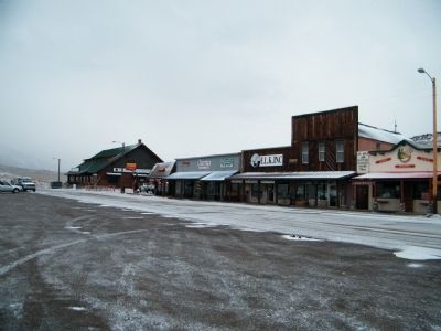
12. Town of Gardiner, MT
The train station was located just beyond and down the hill from the last building on the left side of the photo. The building is likely the barn shaped building shown on the Marker with the advertisement on the side.
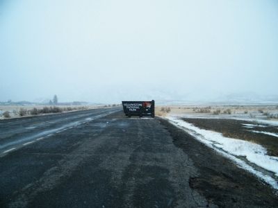
Photographed by Rich Pfingsten, March 23, 2009
13. Yellowstone National Park entrance sign
Photo taken looking south from Roosevelt Arch marker
Credits. This page was last revised on September 14, 2018. It was originally submitted on February 27, 2011, by Rich Pfingsten of Forest Hill, Maryland. This page has been viewed 2,138 times since then and 61 times this year. Last updated on September 10, 2018, by Craig Baker of Sylmar, California. Photos: 1, 2, 3, 4, 5. submitted on February 27, 2011, by Rich Pfingsten of Forest Hill, Maryland. 6. submitted on September 10, 2018, by Craig Baker of Sylmar, California. 7, 8, 9, 10, 11, 12, 13. submitted on February 27, 2011, by Rich Pfingsten of Forest Hill, Maryland. • Bill Pfingsten was the editor who published this page.
