Near Kooskia in Idaho County, Idaho — The American West (Mountains)
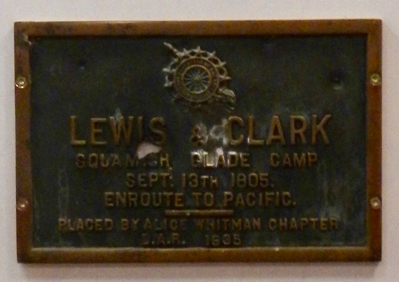
Lewis and Clark
Squamish Glade Camp
Photographed by Barry Swackhamer, May 10, 2018
1. Lewis and Clark Marker
Enroute to Pacific.
Erected 1935 by Daughters of the American Revolution, Alice Whitman Chapter.
Topics and series. This historical marker is listed in this topic list: Exploration. In addition, it is included in the Daughters of the American Revolution (DAR), and the Lewis & Clark Expedition series lists. A significant historical date for this entry is September 13, 1805.
Location. 46° 38.078′ N, 114° 34.656′ W. Marker is near Kooskia, Idaho, in Idaho County. It can be reached from Highway 12 near Elk Meadows Road, on the left when traveling east. Touch for map. Marker is at or near this postal address: 44000 U.S Highway 12, Kooskia ID 83539, United States of America. Touch for directions.

Regionally, this marker is in North Idaho — Idaho’s Panhandle. It is also in the American Mountain West, specifically in the Pacific Northwest, and in the Lewis & Clark Corridor. Globally, it is in North America, the Rocky Mountains, the Western Hemisphere, the Western World, and the Anglosphere.
Other nearby markers. At least 8 other markers are within 11 miles of this marker, measured as the crow flies: Nez Perce Trail
this page online
More about this marker. This marker was originally place outside at nearby Packer Meadow in 1935. Damaged by vandals, it was recovered, repaired, rededicated and placed inside the Lolo Pass Visitor Center with an addenda.
I do wonder what happened to the other two plaques?
Photographed by Barry Swackhamer, May 10, 2018
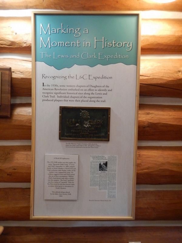
2. Making a Moment in History
Recognizing the L&C Expedition
In the 1930s, some western chapters of Daughters of the American Revolution embarked on an effort to identify and recognize significant historical sites along the Lewis and Clark Trail. Individual chapters of the organization produced plaques that were then placed along the trail.
The Alice Whitman Chapter of Lewiston, Idaho placed this plaque near Glade Creek Camp in 1935. Damaged by vandals, it was recovered and rededicated at the Lolo Pass Visitor Center.
The 1935 DAR marker seen here applies the name "Squamish Glade Camp" to Lewis and Clark's September 13, 1805 campsite nearby in Packer Meadow. A local Lewis and Clark enthusiast, John Harlan, author of the marker's text, assigned this name. No evidence suggests Lewis and Clark named this site of their encampment. William Clark's hand-drawn map refers to glades near the campsite. The word "squamish" may be a variant of "quamish", from the Nez Perce word for the plant known today as camas, which grows in abundance in Packer Meadow.
The addenda plaque place by the Idaho State Society, DAR
2004
D.A.R. To Erect Bronze Tablets At Three Historic Campsites Of The Lewis And Clark Expediton
Photographed by Barry Swackhamer, May 10, 2018
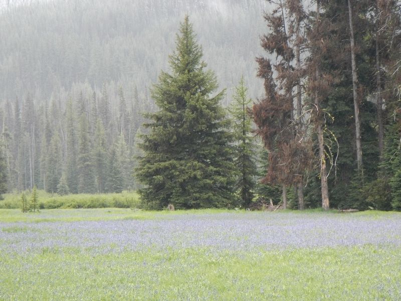
3. Packer Meadow
Credits. This page was last revised on September 12, 2018. It was originally submitted on September 12, 2018, by Barry Swackhamer of Brentwood, California. This page has been viewed 559 times since then and 42 times this year. Photos: 1, 2, 3. submitted on September 12, 2018, by Barry Swackhamer of Brentwood, California.
