Near Lolo in Missoula County, Montana — The American West (Mountains)
The "Soldiers' Corral"
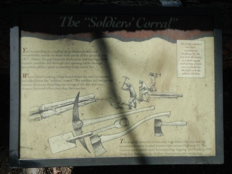
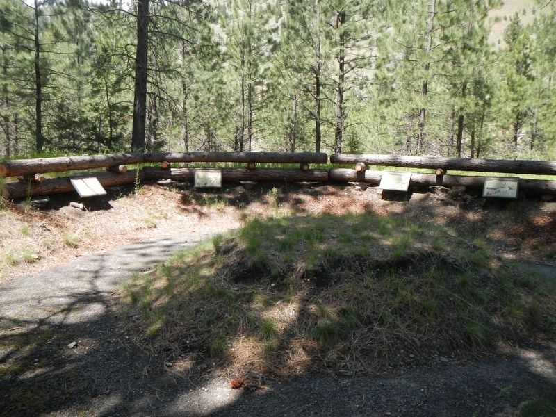
When the Chief Looking Glass heard about the entrenchment he called them the "soldiers corral." The soldiers hide behind the barrier of two or three logs set on top of the dirt that was thrown forward when they dug the trenches.
The original network of trenches, individual rifle pits, and log breastworks were located to your right across Highway 12. The remains were visible until homesteading, logging and finally a 1934 forest fire destroyed the shallow depression and rotting logs.
The Army regulars had been constructing buildings for the new Fort Missoula, so a good supply and variety of tools were available for the field work the soldiers did here.
Erected by U.S. Forest Service, Lolo National Forest.
Topics and series. This historical marker is listed in this topic list: Forts and Castles. In addition, it is included in the The Nez Perce Trail series list.
Location. 46° 44.778′ N, 114° 10.41′ W. Marker is near Lolo, Montana, in Missoula County. Marker can be reached from Lolo Creek Road (U.S. 12) near Sun Ray Lane, on the left when traveling west. Touch for map. Marker is at or near this postal address: 13442 US Highway 12, Lolo MT 59847, United States of America. Touch for directions.
Other nearby markers. At least 8 other markers are within 4 miles of this marker, measured as the crow flies. Taking Cover… (here, next to this marker); Pauses and Parleys (a few steps from this marker); Outwitted and Outflanked (a few steps from this marker); Fort Fizzle (within shouting distance of this marker); Lewis and Clark on Lolo Creek (within shouting distance of this marker); The Nez Perce Sikum (approx. 2˝ miles away); A Crossroads of Culture (approx. 4 miles away); Following Formation (approx. 4 miles away). Touch for a list and map of all markers in Lolo.
More about this marker. This marker is located at Fort Fizzle Historic Site Picnic Area.
Credits. This page was last revised on September 13, 2018. It was originally submitted on September 13, 2018, by Barry Swackhamer of Brentwood, California. This page has been viewed 175 times since then and 9 times this year. Photos: 1, 2. submitted on September 13, 2018, by Barry Swackhamer of Brentwood, California.

