Near Lolo in Missoula County, Montana — The American West (Mountains)
Taking Cover…
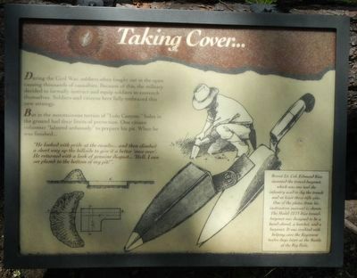
During the Civil War, soldiers often fought out in the open causing thousands of casualties. Because of this, the military decided to formally instruct and equip soldiers to entrench themselves. Soldiers and citizens here fully embraced this new strategy.
But in the mountainous terrain of "Lolo Canyon." holes in the ground had their limits of protection. On citizen volunteer "labored arduously" prepare his pit. When he was finished…
"He looked with pride at the results… and then climbed a short way up the hillside to give it a better 'once over'. He returned with a look of genuine disgust… 'Hell, I can see plumb to the bottom of my pit!'"
Brevet Lt. Col. Edmund Rice invented the trowel-bayonet, which was one tool the infantry used to dig the trench and at least three rifle pits. One of the plates from his instruction manual is shown. The Model 1873 Rice trowel-bayonet was designed to be a hand-shovel, a hatchet, and a bayonet. It was credited with helping save the Regiment twelve days later at the Battle of the Big Hole.
Erected by Forest Service, U.S. Department of Agriculture.
Topics and series. This historical marker is listed in these topic lists: Forts and Castles • Wars, US Indian. In addition, it is included in the The Nez Perce Trail series list.
Location. 46° 44.778′ N, 114° 10.404′ W. Marker is near Lolo, Montana, in Missoula County. Marker can be reached from Lolo Creek Road (U.S. 12) near Sun Ray Lane, on the left when traveling west. Touch for map. Marker is at or near this postal address: 13442 US Highway 12, Lolo MT 59847, United States of America. Touch for directions.
Other nearby markers. At least 8 other markers are within 4 miles of this marker, measured as the crow flies. The "Soldiers' Corral" (here, next to this marker); Pauses and Parleys (here, next to this marker); Outwitted and Outflanked (a few steps from this marker); Fort Fizzle (within shouting distance of this marker); Lewis and Clark on Lolo Creek (within shouting distance of this marker); The Nez Perce Sikum (approx. 2½ miles away); A Crossroads of Culture (approx. 4 miles away); Following Formation (approx. 4 miles away). Touch for a list and map of all markers in Lolo.
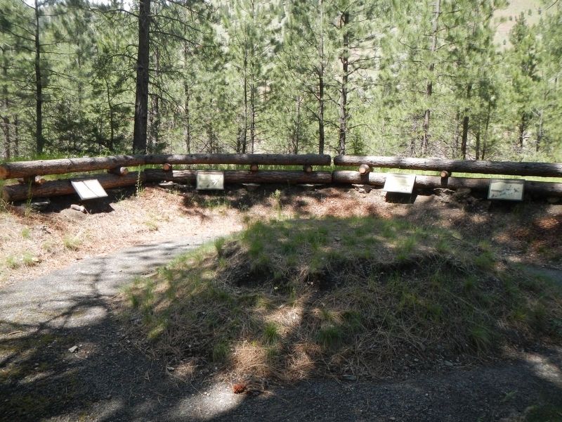
More about this marker. This marker is located at Fort Fizzle Historic Site Picnic Area.
Credits. This page was last revised on September 28, 2022. It was originally submitted on September 13, 2018, by Barry Swackhamer of Brentwood, California. This page has been viewed 193 times since then and 7 times this year. Photos: 1, 2. submitted on September 13, 2018, by Barry Swackhamer of Brentwood, California.

