Near Lolo in Missoula County, Montana — The American West (Mountains)
Travellers Rest
Photographed by Barry Swackhamer, May 10, 2018
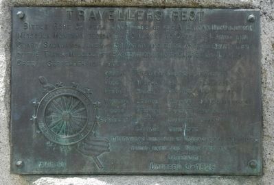
1. Travellers Rest Marker
Ordway • Willard • Colter • Bratton • Gass • M'Neal • Hall • Thompson • Pryor • Wiser • Collins • Whitehouse • Windsor • Lepage • Werner • Fields Brothers • Gibson • Howard • Frazier • Drouillard • Potts • Shannon • Goodrich • Labiche • Cruzatte • Chaboneau, husband of Sacajawea • Baptiste, their baby and York, the slave
Dedicated
October 9 - 1925
Erected 1925 by Daughters of the American Revolution, Bitter Root Chapter.
Topics and series. This historical marker is listed in these topic lists: Exploration • Landmarks. In addition, it is included in the Daughters of the American Revolution (DAR), the Lewis & Clark Expedition, and the National Historic Landmarks series lists. A significant historical date for this entry is September 10, 1805.
Location. 46° 45.162′ N, 114° 5.322′ W. Marker is near Lolo, Montana, in Missoula County. It is on Lolo Creek Road (U.S. 12) near U.S. 93, on the left when traveling west. Touch for map. Marker is at or near this postal address: 6717 Lolo Creek Road, Lolo MT 59847, United States of America. Touch for directions.

Regionally,
this page online
Other nearby markers. At least 8 other markers are within 4 miles of this marker, measured as the crow flies: A Crossroads of Culture (within shouting distance of this marker); The Journey Home (about 700 feet away, measured in a direct line); Following Formation (approx. 0.2 miles away); Uncovering the Expedition (approx. 0.2 miles away); The Lolo Trail (approx. 0.3 miles away); Lewis and Clark in Salish Territory (approx. 0.8 miles away); Bitterroot Valley, Homeland of the Selíš (approx. 0.8 miles away); Lewis and Clark on Lolo Creek (approx. 4 miles away). Touch for a list and map of all markers in Lolo.
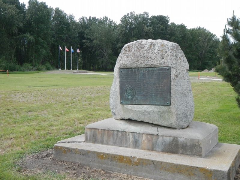
More about this marker. This maker is located in Travelers' Rest State Park.
Photographed by Barry Swackhamer, May 10, 2018
2. Travellers Rest Marker
Photographed by Barry Swackhamer, May 10, 2018
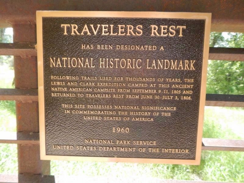
3. Travelers Rest
National Historic Landmark
Following trails used for thousands of years, the Lewis and Clark Expedition camped at this ancient Native American campsite from September 9-11, 1805 and returned to Travelers Rest from June 30-July 3, 1806.
This site possesses national significance in commemorating the history of the United States of America
1960
National Park Service
United States Department of the Interior
Frank Ward (photo courtesy of the Montana Historical Society), October 9, 1925
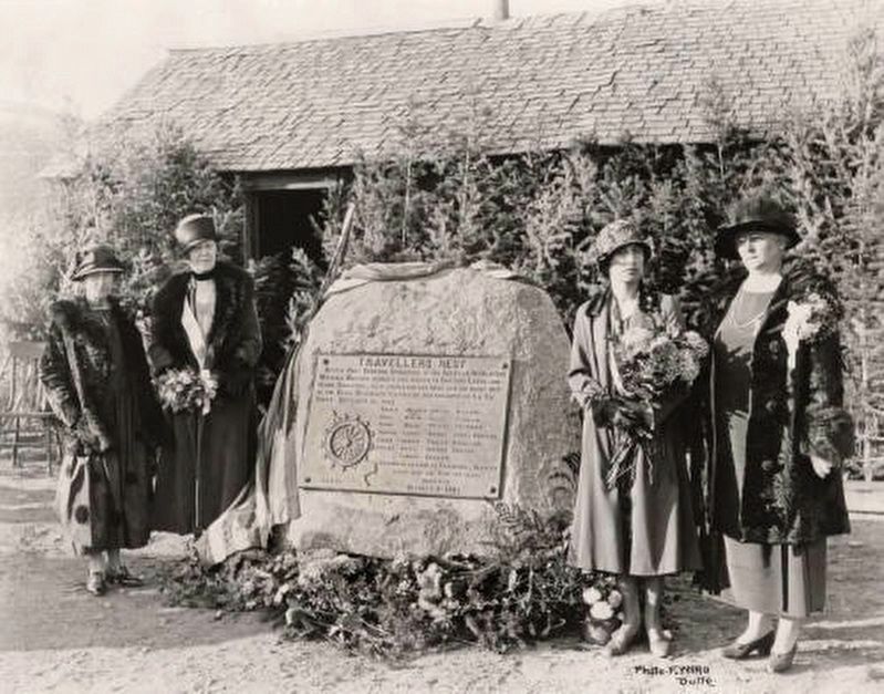
4. Dedication of D.A.R. plate at Lolo Pass, Mont.
"View of the dedication ceremony of a historical marker erected by the Montana State Society, Daughters of the American Revolution at Bannack, Montana. Writing on verso states, 'Left to right, 1. Mrs. Laura T. Scott, Armstead, Montana; 2. Miss Ann M. Lang, The Dalles, Ore., V. Pres. Gen. N.S.D.A.R.; 3. Mrs. Verne D. Caldwell, St. Regent, Mont. D.A.R.; 4. Mrs. John M. Keith, Regent, Bitter Root Chapt. D.A.R.'"
Credits. This page was last revised on October 15, 2020. It was originally submitted on September 13, 2018, by Barry Swackhamer of Brentwood, California. This page has been viewed 572 times since then and 49 times this year. Photos: 1, 2, 3. submitted on September 13, 2018, by Barry Swackhamer of Brentwood, California. 4. submitted on July 23, 2020.
