
Vieux-Québec-Cap-Blanc-colline Parlementaire in Capitale-Nationale, — Central Canada (French-Canadian)
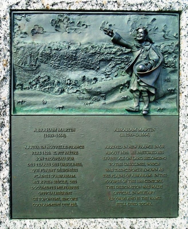
Abraham Martin
(1589-1664)
Photographed by William Fischer, Jr., August 13, 2018
1. Abraham Martin Marker
Il fit paître son troupeau sur des terres
des Ursulines, qui furent désignées
Plaines d'Abraham. Au XVIIIe siècle,
des documents militaires officialisèrent
ce toponyme, encore couramment utilisé.
—————————————
arrived in New France in or about 1620.
He pastured his livestock on land belonging
to the Ursulines, which was thenceforth
known as the Plains of Abraham. In the
course of the 18th century, this designation
was made official in military records
and is the name still used today.
Erected by La Commission des champs de bataille nationaux (CCBN) et les Amis des Plaines.
Topics. This historical marker is listed in this topic list: Settlements & Settlers. A significant historical year for this entry is 1620.
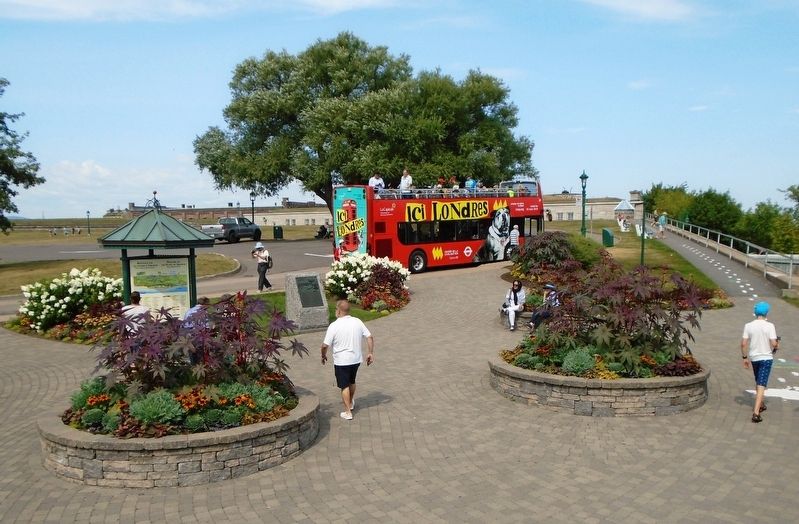
Location. 46° 48.285′ N, 71° 12.516′ W. Marker is in Québec, in Capitale-Nationale. It is in Vieux-Québec-Cap-Blanc-colline Parlementaire. It is on avenue du Cap-Diamant, on the right when traveling north. Marker is in the Battlefields Park, near the Governor's Promenade and Kiosk south
this page online

Regionally, this marker is in Central Canada. Globally, it is in North America, the Western Hemisphere, and the Western World. Historically, it finds itself in what was once a British colony, the Viceroyalty of New France, the Haudenosaunee (Iroquois) Confederacy, and Rupert’s Land.
Other nearby markers. At least 8 other markers are within walking distance of this marker: Les gouverneurs généraux à l'honneur (a few steps from this marker); La contribution des troupes allemandes à la défense du Canada (a few steps from this marker); Cove Fields (approx. 0.3 kilometers away); The Quebec Conferences (approx. 0.3 kilometers away); The Québec Citadel (approx. 0.3 kilometers away); Georges-Philias Vanier (approx. 0.4 kilometers away); Calibre: 10 cm Kanone 17 (approx. 0.4 kilometers away); Calibre: 10.5 cm Feldhaubitze 98/09 (approx. 0.4 kilometers away). Touch for a list and map of all markers in Québec.
Also see . . .
1. Abraham Martin at Find A Grave. (Submitted on September 13,
Photographed by William Fischer, Jr., August 13, 2018
2. Abraham Martin Marker
2. Abraham Martin at Dictionary of Canadian Biography. (Submitted on September 13, 2018, by William Fischer, Jr. of Reynoldsburg, Ohio.)
Credits. This page was last revised on February 9, 2023. It was originally submitted on September 13, 2018, by William Fischer, Jr. of Reynoldsburg, Ohio. This page has been viewed 590 times since then and 55 times this year. Photos: 1, 2. submitted on September 13, 2018, by William Fischer, Jr. of Reynoldsburg, Ohio.
