Near Lolo in Missoula County, Montana — The American West (Mountains)
Following Formation
Lewis & Clark at Travelers’ Rest
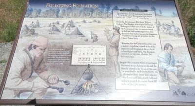
During the Revolutionary War, Baron William Frederick Von Steuben, at the request of George Washington, collaborated with the leaders of the Continental Army to create a manual of drill and field service regulations. The document that resulted became the foundation of military training and procedure for the United States Army.
Knowing that the Corps of Discovery was a military expedition, trained in the drills, inspection and discipline of the era, local archaeologists used Baron Von Steuben’s manual as an important reference for their work here.
Imagine the excitement when archaeologists discovered several features in the soil that directly related to the layout of the camp as prescribed by the Prussian Baron. The physical evidence found here indicates that Lewis and Clark closely followed military protocol after more than 6,000 miles of their epic journey.
Using Baron Von Steuben's descriptions and diagrams like the one shown to the right, along with the archaeological evidence discovered here in 2002, this illustration is an interpretation of what Travelers' Rest Camp might hav looked like on the Expedition's return in 1806.
Erected by Montana State Parks, National Park Service, Travelers' Rest Preservation and Heritage Association.
Topics and series. This historical marker is listed in these topic lists: Exploration • Military. In addition, it is included in the Lewis & Clark Expedition series list.
Location. 46° 44.981′ N, 114° 5.345′ W. Marker is near Lolo, Montana, in Missoula County. Marker is on Lolo Creek Road (U.S. 12) near U.S. 93. Touch for map. Marker is at or near this postal address: 6717 Lolo Creek Road, Lolo MT 59847, United States of America. Touch for directions.
Other nearby markers. At least 8 other markers are within 4 miles of this marker, measured as the crow flies. The Journey Home (about 400 feet away, measured in a direct line); Uncovering the Expedition (about 400 feet away); A Crossroads of Culture (approx. 0.2 miles away); Travellers Rest (approx. 0.2 miles away); The Lolo Trail (approx. half a mile away); Lewis and Clark in Salish Territory (approx. 0.6 miles away); Bitterroot Valley, Homeland of the Selíš (approx. 0.6 miles away); Lewis and Clark on Lolo Creek (approx. 4 miles away). Touch for a list and map of all markers in Lolo.
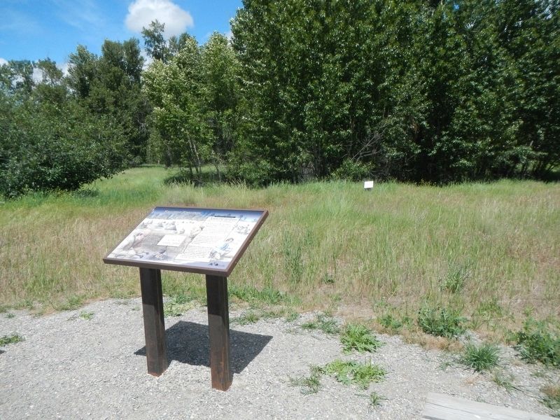
More about this marker. This marker is located on the foot trail in Travelers' Rest State Park.
Credits. This page was last revised on September 14, 2018. It was originally submitted on September 14, 2018, by Barry Swackhamer of Brentwood, California. This page has been viewed 182 times since then and 11 times this year. Photos: 1, 2, 3. submitted on September 14, 2018, by Barry Swackhamer of Brentwood, California.


