Mammoth in Yellowstone National Park in Park County, Wyoming — The American West (Mountains)
The Golden Gate
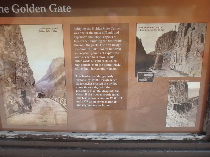
Photographed by Martin Schrattenholzer, August 29, 2017
1. The Golden Gate Marker
This bridge was dangerously unstable by 1900. Heavily-laden stagecoaches crossed the bridge many times a day with the possibility of a fatal drop into the chasm if the wooden trestle failed. The bridge was rebuilt in 1900, 1933, and 1977 using newer materials and engineering each time.
Topics. This historical marker is listed in this topic list: Bridges & Viaducts.
Location. 44° 56.08′ N, 110° 43.457′ W. Marker is in Yellowstone National Park, Wyoming, in Park County. It is in Mammoth. It is on Grand Loop Road (U.S. 89), on the right when traveling north. Located about 3 miles south of Mammoth Hot Sorings. Touch for map. Marker is in this post office area: Yellowstone National Park WY 82190, United States of America.
this page online

Regionally, this marker is in the Bighorn Basin and in Greater Yellowstone. It is also in the American Mountain West and in the Lewis & Clark Corridor. Globally, it is in North America, the Rocky Mountains, the Western Hemisphere, the Western World, and the Anglosphere.
Other nearby markers. At least 8 other markers are within 3 miles of this marker, measured as the crow flies: Orange Spring Mound (approx. 2.2 miles away); A Changing Landscape (approx. 2½ miles away); Fort Yellowstone (approx. 2½ miles away); Yellowstone National Park Chapel (approx. 2.9 miles away); A Sense of Community (approx. 2.9 miles away); Guard Duty (approx. 3 miles away); Sheepeater Cliff (approx. 3 miles away); Crime in Wonderland (approx. 3 miles away). Touch for a list and map of all markers in Yellowstone National Park.
Other markers no longer nearby. A Sense of Community (was approx. 2.9 miles away but has been permanently removed); At Guard (was approx. 3 miles away but has been permanently removed); A Most Fortunate Thing... (was approx. 3 miles away but has been permanently removed).
Also see . . . Yellowstone History: The Golden Gate Viaduct (Yellowstone Insider).
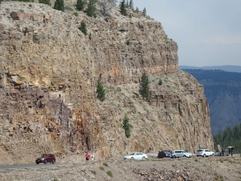
Photographed by Martin Schrattenholzer, August 29, 2017
2. The Golden Gate Marker
Sign appears in the lower right corner
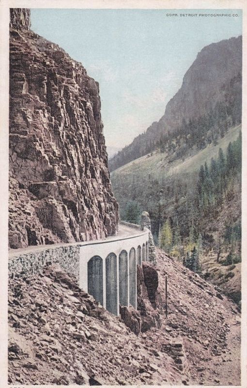
Postcard published by the Detroit Photographic Co., circa 1910
3. Golden Gate, Yellowstone Park
Credits. This page was last revised on February 16, 2023. It was originally submitted on February 10, 2018, by Martin Schrattenholzer of Renton, Washington. This page has been viewed 538 times since then and 33 times this year. Last updated on September 16, 2018, by Craig Baker of Sylmar, California. Photos: 1, 2. submitted on February 10, 2018, by Martin Schrattenholzer of Renton, Washington. 3. submitted on February 11, 2018. • Bill Pfingsten was the editor who published this page.
