South Union in Logan County, Kentucky — The American South (East South Central)
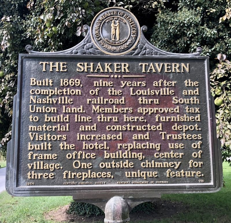
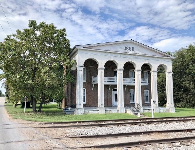
The Shaker Tavern
Erected 1964 by Kentucky Historical Society, Kentucky Department of Highways. (Marker Number 716.)
Topics and series. This historical marker is listed in these topic lists: Notable Buildings • Railroads & Streetcars. In addition, it is included in the Communal and Utopian Societies, and the Kentucky Historical Society series lists. A significant historical year for this entry is 1869.
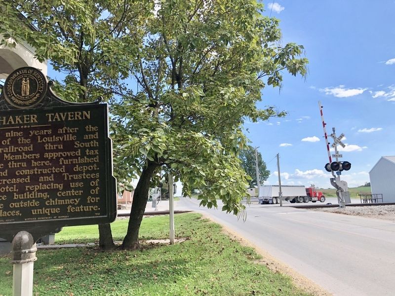
Location. 36° 52.599′ N, 86° 39.378′ W. Marker is in South Union, Kentucky, in Logan County. Marker is on South Union Road (Kentucky Route 73) south of C Duncan Road, on the left when traveling south. Touch for map. Marker is at or near this postal address: South Union Road, Auburn KY 42206, United States of America. Touch for directions.
Other nearby markers. At least 8 other markers are within walking distance of this marker. 1869 Shaker Tavern (within shouting distance of this marker); 1917 Store and Post Office (within shouting distance of this marker); Gasper River Meeting House (approx. 0.7 miles away); Site of 1816 Blacksmith Shop (approx. 0.8 miles away); Site of 1875 Grain Barn (approx. 0.8 miles away); Site of 1856 Post Office (approx. 0.8 miles away); Site of Ca. 1830 Bee Hive House (approx. 0.8 miles away); Site of 1841 Trustees Office (approx. 0.8 miles away). Touch for a list and map of all markers in South Union.
Credits. This page was last revised on September 17, 2018. It was originally submitted on September 17, 2018, by Mark Hilton of Montgomery, Alabama. This page has been viewed 314 times since then and 41 times this year. Photos: 1, 2, 3. submitted on September 17, 2018, by Mark Hilton of Montgomery, Alabama.


