
South Union in Logan County, Kentucky — The American South (East South Central)
Shaker Colony
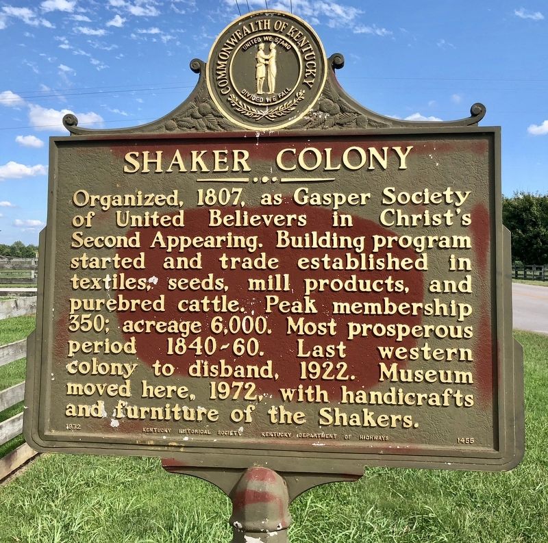
Photographed by Mark Hilton, September 14, 2018
1. Shaker Colony Marker
Erected 1972 by Kentucky Historical Society, Kentucky Department of Highways. (Marker Number 1455.)
Topics and series. This historical marker is listed in these topic lists: Industry & Commerce • Religion & Religious Structures. In addition, it is included in the Communal and Utopian Societies, and the Kentucky Historical Society series lists. A significant historical year for this entry is 1807.
Location. 36° 53.04′ N, 86° 38.655′ W. Marker is in South Union, Kentucky, in Logan County. It is on Shaker Museum Road west of Shakertown Road (Kentucky Route 1466), on the right when traveling west. Touch for map. Marker is at or near this postal address: 896 Shaker Museum Road, Auburn KY 42206, United States of America. Touch for directions.

Regionally, this
this page online
Other nearby markers. At least 8 other markers are within walking distance of this marker: Site of 1818 Meeting House (within shouting distance of this marker); 1846 Ministry Shop (within shouting distance of this marker); Site of 1815 Brick Dwelling (within shouting distance of this marker); Site of 1824 Meeting House Privy (within shouting distance of this marker); Site of 1836 Cooper’s Shop (within shouting distance of this marker); Site of 1824 Cistern (within shouting distance of this marker); Site of 1841 Trustees Office (within shouting distance of this marker); Site of 1856 Post Office (about 300 feet away, measured in a direct line).
Also see . . . Wikipedia article on the Shaker Museum at South Union. (Submitted on September 17, 2018, by Mark Hilton of Montgomery, Alabama.)
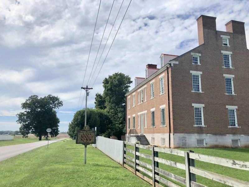
Photographed by Mark Hilton, September 14, 2018
2. Shaker Colony Marker at Shaker Village.
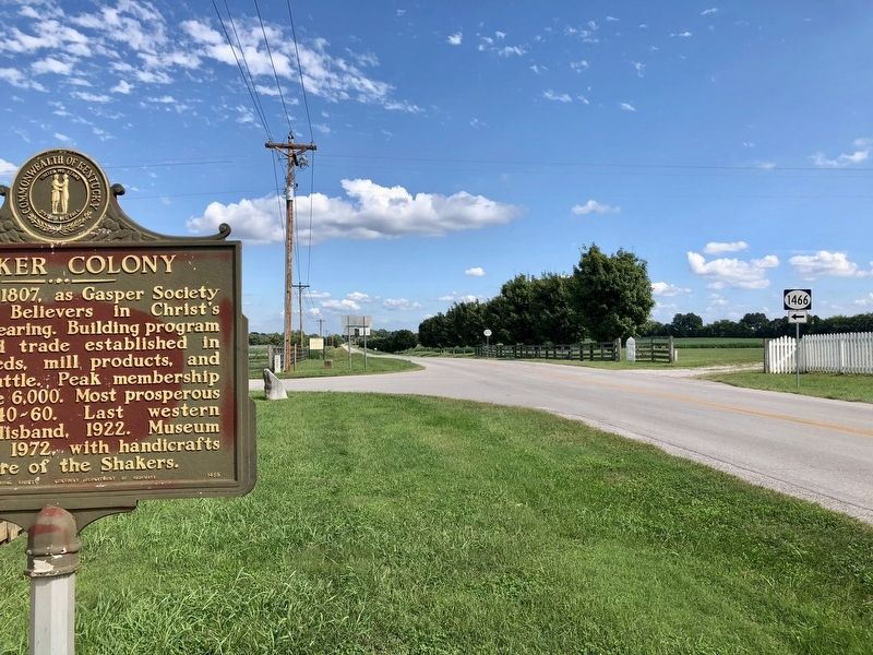
Photographed by Mark Hilton, September 14, 2018
3. Shaker Colony Marker looking east on Shaker Museum Road.
Credits. This page was last revised on September 17, 2018. It was originally submitted on September 17, 2018, by Mark Hilton of Montgomery, Alabama. This page has been viewed 332 times since then and 21 times this year. Photos: 1, 2, 3. submitted on September 17, 2018, by Mark Hilton of Montgomery, Alabama.
