Near Browder in Muhlenberg County, Kentucky — The American South (East South Central)
Capt. Henry Rhoads, Jr.
1739-1814
Photographed by Mark Hilton, September 14, 2018
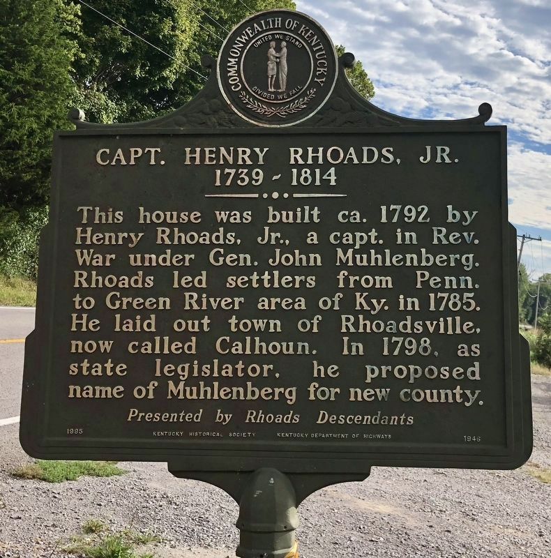
1. Capt. Henry Rhoads, Jr. Marker
The house is not visible from the marker and is in long term disrepair.
This house was built ca. 1792 by Henry Rhoads, Jr., a capt. in Rev. War under Gen. John Muhlenberg. Rhoads led settlers from Penn. to Green River area of Ky. in 1785. He laid out town of Rhoadsville, now called Calhoun. In 1798, as state legislator, he proposed name of Muhlenberg for new county.
{Reverse}
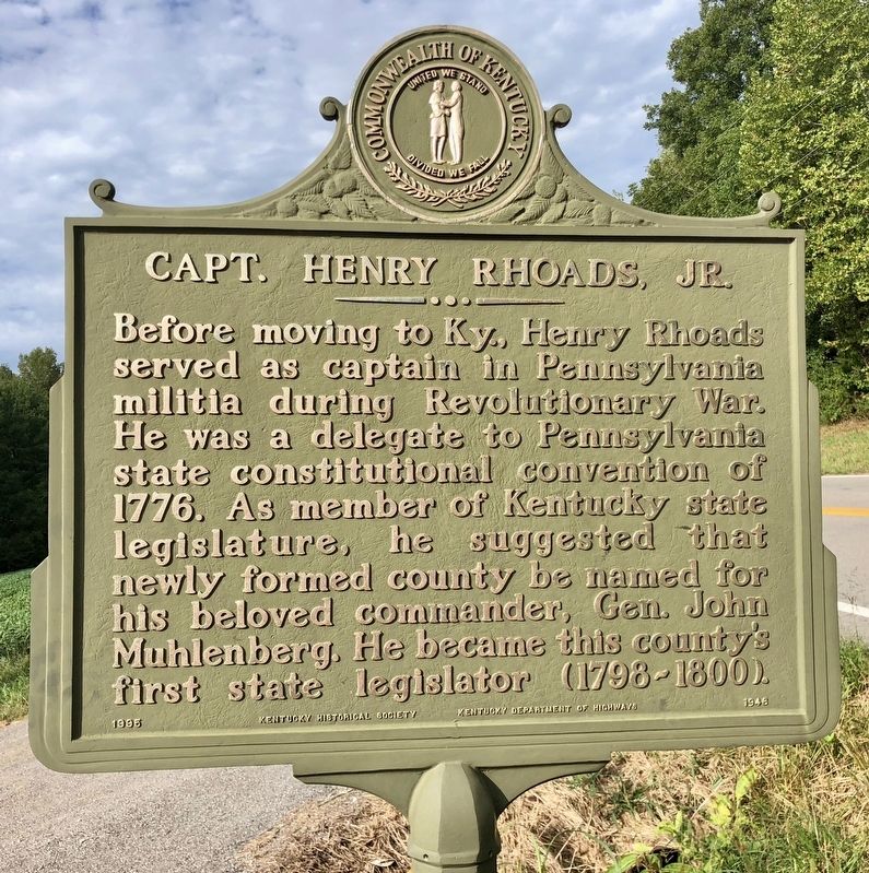
Before moving to Ky., Henry Rhoads served as captain in Pennsylvania militia during Revolutionary War. He was a delegate to Pennsylvania state constitutional convention of 1776. As member of Kentucky state legislature, he suggested that newly formed county be named for his beloved commander, Gen. John Muhlenberg. He became this county's first state legislator (1798-1800).
Erected 1995 by Kentucky Historical Society, Kentucky Department of Highways. (Marker Number 1946.)
Topics and series. This historical marker is listed in these topic lists: Government & Politics • Political Subdivisions • Settlements & Settlers • War, US Revolutionary. In addition, it is included in the Kentucky Historical Society series list. A significant historical year for this entry is 1792.
Location. 37° 12.222′ N,
this page online

Regionally, this marker is in the Tri-State Region and specifically in the Pennyroyal Region. It is also in the American Midwest, in the South, and specifically in the Upper South. Globally, it is in North America, the Western Hemisphere, the Western World, and the Anglosphere. Historically, it finds itself in what was once the territory of the Mississippian Culture and also the Antebellum South.
Other nearby markers. At least 8 other markers are within 9 miles of this marker, measured as the crow flies: Airdrie Furnace Site / Iron Made in Kentucky (approx. 1.7 miles away); Mount Zion Presbyterian Church (approx. 7.2 miles away); Suffolk (approx. 7.2 miles away); Buckner-Churchill Furnace / Iron Made in Kentucky (approx. 8.2 miles away); Hunt Settlement (approx. 8.3 miles away); John Prine
Photographed by Mark Hilton, September 14, 2018
2. Capt. Henry Rhoads, Jr. Marker (reverse)
Photographed by Mark Hilton, September 14, 2018
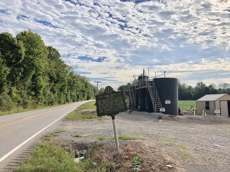
3. Capt. Henry Rhoads, Jr. Marker looking east on Rochester Road.
Credits. This page was last revised on November 10, 2024. It was originally submitted on September 18, 2018, by Mark Hilton of Montgomery, Alabama. This page has been viewed 2,067 times since then and 157 times this year. Photos: 1, 2, 3. submitted on September 18, 2018, by Mark Hilton of Montgomery, Alabama.
