Drakesboro in Muhlenberg County, Kentucky — The American South (East South Central)
Airdrie Furnace Site
⎯⎯⎯
Iron Made in Kentucky
Photographed by Mark Hilton, September 14, 2018
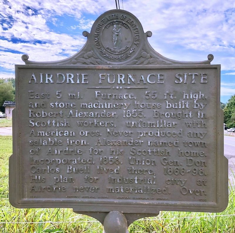
1. Airdrie Furnace Site Marker
East 5 miles. Furnace, 55 ft. high, and stone machinery house built by Robert Alexander, 1855. Brought in Scottish workers, unfamiliar with American ores. Never produced any salable iron. Alexander named town of Airdrie for his Scottish home. Incorporated, 1858. Union Gen. Don Carlos Buell lived there, 1866-98. His plan for industrial city at Airdrie never materialized. Over.
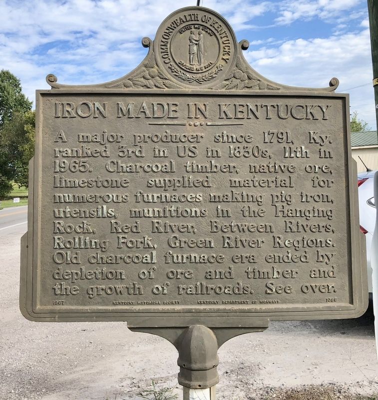
A major producer since 1791, Ky. ranked 3rd in US in 1830s, 11th in 1965. Charcoal timber, native ore, limestone supplied material for numerous furnaces making pig iron, utensils, munitions in the Hanging Rock, Red River, Between Rivers, Rolling Fork, Green River Regions. Old charcoal furnace era ended by depletion of ore and timber and the growth of railroads. See over.
Erected 1967 by Kentucky Historical Society, Kentucky Department of Highways. (Marker Number 1086.)
Topics and series. This historical marker is listed in these topic lists: Industry & Commerce • Natural Resources. In addition, it is included in the Appalachian Iron Furnaces, and the Kentucky Historical Society
this page online
Location. 37° 13.184′ N, 87° 2.765′ W. Marker is in Drakesboro, Kentucky, in Muhlenberg County. It is on John Prine Avenue (U.S. 431) north of East Mose Rager Avenue (State Route 176), on the right when traveling north. Touch for map. Marker is at or near this postal address: 110 John Prine Avenue, Drakesboro KY 42337, United States of America. Touch for directions.

Regionally, this marker is in the Tri-State Region and specifically in the Pennyroyal Region. It is also in the American Midwest, in the South, and specifically in the Upper South. Globally, it is in North America, the Western Hemisphere, the Western World, and the Anglosphere. Historically, it finds itself in what was once the territory of the Mississippian Culture and also the Antebellum South.
Other nearby markers. At least 8 other markers are within 8 miles of this marker, measured as the crow flies: Capt. Henry Rhoads, Jr. (approx. 1.7 miles away); Mount Zion Presbyterian Church (approx. 5.6 miles away); John Prine (approx. 6.7 miles away); The Everly Brothers (approx. 6.7 miles away); Old Greenville Cemetery
Photographed by Mark Hilton, September 14, 2018
2. Iron Made in Kentucky Marker
Also see . . . Photos of Airdrie furnace. (Submitted on September 19, 2018, by Mark Hilton of Montgomery, Alabama.)
Photographed by Mark Hilton, September 14, 2018
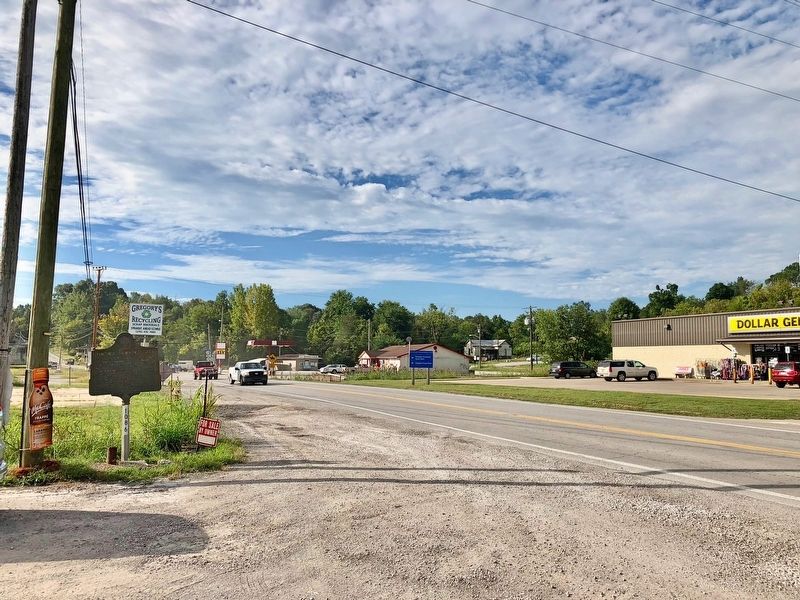
3. View of marker looking south on U.S. Highway 431.
Photographed by Mark Hilton, September 14, 2018
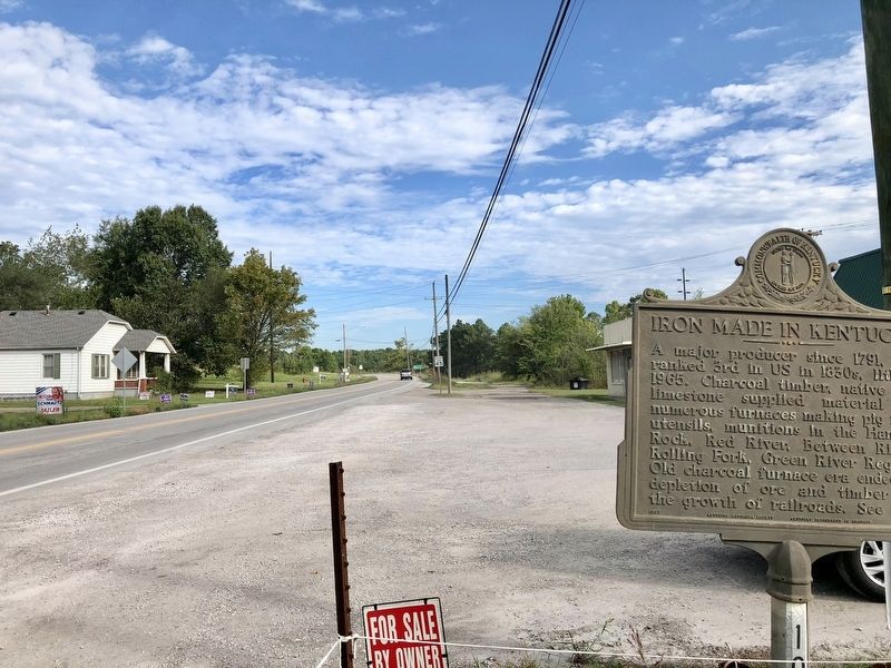
4. View from marker looking north on John Prine Avenue.
Credits. This page was last revised on September 19, 2018. It was originally submitted on September 19, 2018, by Mark Hilton of Montgomery, Alabama. This page has been viewed 1,537 times since then and 87 times this year. Photos: 1, 2, 3, 4. submitted on September 19, 2018, by Mark Hilton of Montgomery, Alabama.
