Portsmouth, England, United Kingdom — Northwestern Europe (the British Isles)
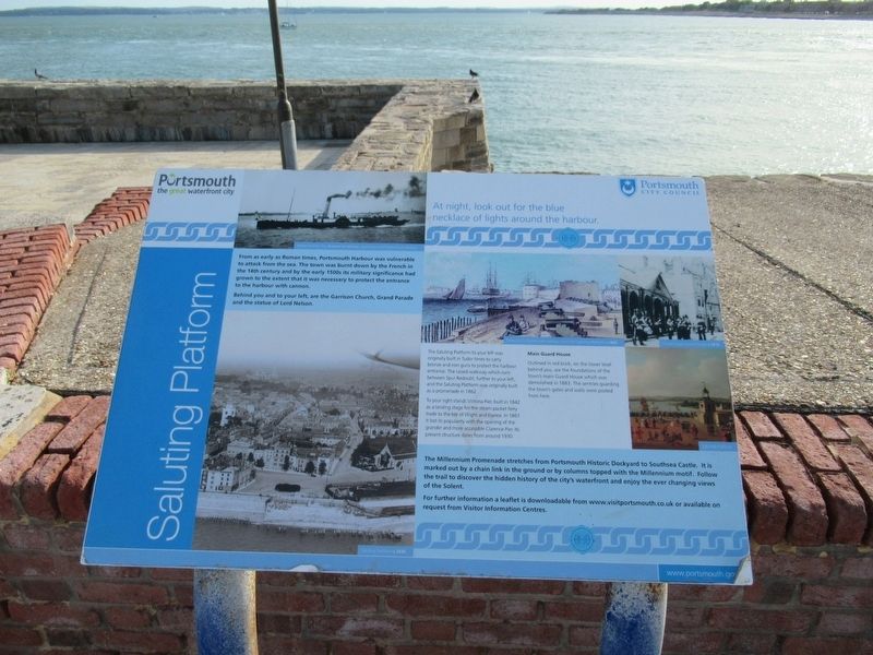
Saluting Platform
Portsmouth the great waterfront city
From as early as Roman times, Portsmouth Harbour was vulnerable to attack from the sea. The town was burnt down by the French in the 14th century and by the early 1500s its military significance had grown to the extent that it was necessary to protect the entrance to the harbour with cannon.
Behind you and to your left, are the Garrison Church, Grand Parade and the statue of Lord Nelson.
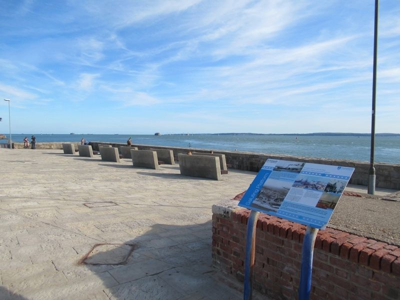
The Saluting Platform to your left was originally built in Tudor times to carry bronze and iron guns to protect the harbour entrance. The raised walkway which runs between Spur Redoubt, further to your left, and the Saluting Platform was originally built as a promenade in 1862.
To your right stands Victoria Pier, built in 1842 as a landing stage for the steam packet ferry trade to the Isle of Wight and France. In 1861 it lost its popularity with the opening of the grander and more accessible Clarence Pier. Its present structure dates from around 1930.
Main Guard House
Outlined in red brick, on the lower level behind you, are the foundations of the town's main Guard House which was demolished in 1883. The sentries guarding the town's gates and walls were posted from here.
The Millennium Promenade stretches from Portsmouth Historic Dockyard to Southsea Castle. It is marked out by a chain link in the ground or by columns topped with the Millennium motif. Follow the trail to discover the hidden history of the city's waterfront and enjoy the ever changing views of the Solent.
For further information a leaflet is downloadable from www.visitportsmouth.co.uk or available on request from Visitor Information Centres.
Topics. This historical marker is listed in this topic list: Waterways & Vessels.
Location. 50° 47.331′ N, 1° 6.355′ W. Marker is in Portsmouth, England. Marker can be reached from the intersection of Grand Parade and Penny Street, on the right when traveling south. Touch for map. Marker is in this post office area: Portsmouth, England PO1 2JR, United Kingdom. Touch for directions.
Other nearby markers. At least 8 other markers are within walking distance of this marker. Horatio Viscount Nelson (within shouting distance of this marker); Safekeeping of Portsmouth (about 90 meters away, measured in a direct line); Royal Garrison Church (about 90 meters away); Mark VIII Torpedo (approx. 0.6 kilometers away); British MMK1 Mine (approx. 0.6 kilometers away); Nelson’s Last Embarkation (approx. 0.6 kilometers away); Noon Day Gun (approx. 0.7 kilometers away); HMS Vernon Figurehead (approx. 0.7 kilometers away). Touch for a list and map of all markers in Portsmouth.
Credits. This page was last revised on January 27, 2022. It was originally submitted on September 20, 2018, by Michael Herrick of Southbury, Connecticut. This page has been viewed 162 times since then and 17 times this year. Photos: 1, 2. submitted on September 20, 2018, by Michael Herrick of Southbury, Connecticut.

